Enable Location

We need your location to show you interesting places around you

Discover nearby places

Find interesting locations and hidden gems around you

Precise directions

Get accurate directions and distances to places

Your location is never shared with other users. It's only used when you tap the location button.

Logan County

Log in to your account

Start exploring — it's free

Trusted by 62,176 travelers worldwide

Continue with Google
Continue with Apple
or

We will send you a code to connect

By continuing, you accept our Terms and Conditions and our Privacy Policy

Check your inbox

We've sent a pincode in your inbox. Please enter the code below.

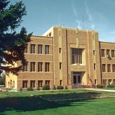
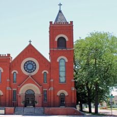
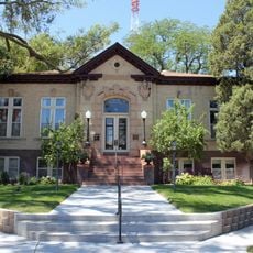
Logan County, Administrative county in northeastern Colorado, US

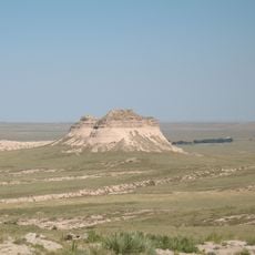
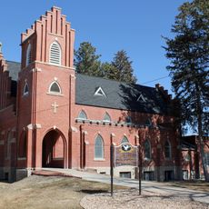
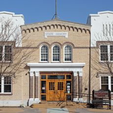
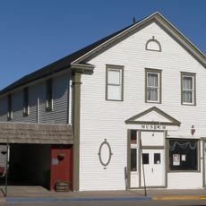
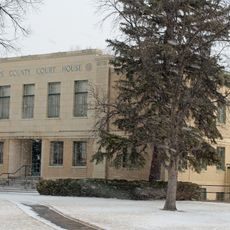
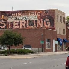
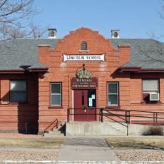
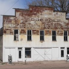
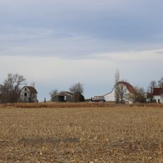
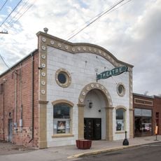
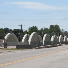
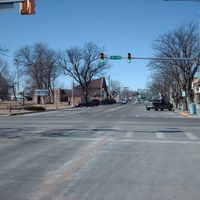
Logan County is an administrative county in northeastern Colorado that stretches across open plains and farmland. Sterling serves as the main commercial hub where most shops, services, and government offices are concentrated.

The area was established as an administrative county in 1887 and named after General John A. Logan, a Union general from the Civil War. This took place during a period of western expansion and agricultural settlement in the region.

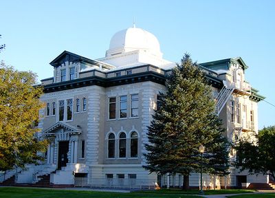
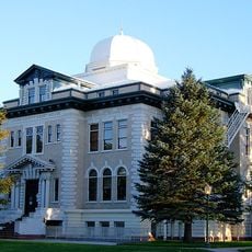
Northeastern Junior College in Sterling enhances the educational landscape of Logan County while supporting regional development through academic programs and community initiatives.

The area connects to major cities through Interstate 76 and several highways, offering direct routes to regional airports and nearby regions. The flat terrain makes navigation and travel straightforward and easy to understand.

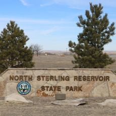
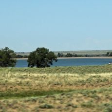
North Sterling State Park provides water recreation in the midst of otherwise agricultural landscape. The lake and its surroundings draw people seeking fishing and outdoor activities on the water.

The community of curious travelers

AroundUs brings together thousands of curated places, local tips, and hidden gems, enriched daily by 60,000 contributors worldwide.

Start exploring
Location
Inception
1887
Capital city
Sterling
Shares border with
Cheyenne County, Washington County, Morgan County, Weld County, Kimball County, Sedgwick County, Phillips County, Yuma County
GPS coordinates
40.73000,-103.11000
Latest update
December 7, 2025 20:23
Around this place
Pawnee Buttes
United States of America

Pawnee Buttes

73.2 km
North Sterling State Park
United States of America

North Sterling State Park

14.6 km
Prewitt Reservoir
United States of America

Prewitt Reservoir

40.3 km
Sedgwick County Courthouse
United States of America

Sedgwick County Courthouse

76.8 km
St. Anthony's Roman Catholic Church
United States of America

St. Anthony's Roman Catholic Church

14.8 km
Sioux Ordnance Depot Fire & Guard Headquarters
United States of America

Sioux Ordnance Depot Fire & Guard Headquarters

53.9 km
Sterling Public Library
United States of America

Sterling Public Library

14.6 km
All Saints Church of Eben Ezer
United States of America

All Saints Church of Eben Ezer

69.6 km
Fort Morgan State Armory
United States of America

Fort Morgan State Armory

78.8 km
Fraternal Hall
United States of America

Fraternal Hall

73.1 km
Phillips County Courthouse
United States of America

Phillips County Courthouse

70.2 km
Deuel County Courthouse
United States of America

Deuel County Courthouse

67.3 km
Fred and Minnie Meyer Sudman House
United States of America

Fred and Minnie Meyer Sudman House

67.4 km
First United Presbyterian Church
United States of America

First United Presbyterian Church

14.6 km
Christ Episcopal Church
United States of America

Christ Episcopal Church

47.2 km
German Evangelical Immanuel Congregational Church
United States of America

German Evangelical Immanuel Congregational Church

67.9 km
Conrad Luft Sr. House
United States of America

Conrad Luft Sr. House

15.7 km
W. E. Heginbotham House
United States of America

W. E. Heginbotham House

70.2 km
First National Bank of Haxtun
United States of America

First National Bank of Haxtun

41.9 km
Logan County Courthouse
United States of America

Logan County Courthouse

14.5 km
Sidney Carnegie Library
United States of America

Sidney Carnegie Library

47.6 km
Knearl School
United States of America

Knearl School

68.8 km
Downtown Sterling Historic District
United States of America

Downtown Sterling Historic District

14.5 km
Lincoln School
United States of America

Lincoln School

78.6 km
Lodgepole Opera House
United States of America

Lodgepole Opera House

61.1 km
Millage Farm Rural Historic District
United States of America

Millage Farm Rural Historic District

70.6 km
Hippodrome Theatre
United States of America

Hippodrome Theatre

76.8 km
Rainbow Arch Bridge
United States of America

Rainbow Arch Bridge

77.8 km
Show the full map
Administrative divisions
« Logan County - Administrative county in northeastern Colorado, US » is provided by Around Us (aroundus.com). Images and texts are derived from Wikimedia project under a Creative Commons license. You are allowed to copy, distribute, and modify copies of this page, under the conditions set by the license, as long as this note is clearly visible.

Discover hidden gems everywhere you go!

From secret cafés to breathtaking viewpoints, skip the crowded tourist spots and find places that match your style. Our app makes it easy with voice search, smart filtering, route optimization, and insider tips from travelers worldwide. Download now for the complete mobile experience.

Around Us App Screenshot

A unique approach to discovering new places

Le Figaro

All the places worth exploring

France Info

A tailor-made excursion in just a few clicks

20 Minutes

Around Us
Travel Guide & Maps
Download

Send to your phone

QR Code
1

Open the camera app on your mobile.

2

Point at the QR code with your camera. A notification will appear.

3

Tap the notification to open the link.