Lincoln County

Log in to your account

AroundUs is a community-driven map of interesting places, built by curious explorers like you. It grows with every review, story, and photo you share.
Connect to save your favorite spots, contribute locations, and create personalized routes.
By continuing, you accept our Terms and Conditions and our Privacy Policy
Add to collection
Map
Suggest a change
Share

Lincoln County, Administrative county division in eastern Colorado, United States.

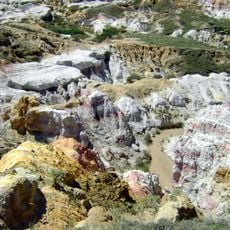
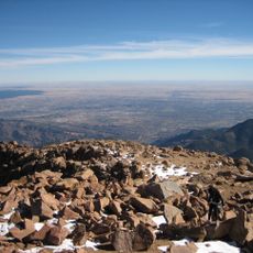
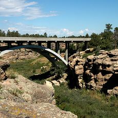
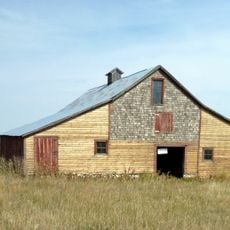
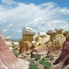
Lincoln County is an administrative county in eastern Colorado, stretching across plains covered by grasslands and farmland. The terrain sits at roughly 5,000 feet and is characterized by open landscape with few major population centers.

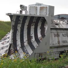
The county was created in 1889 from portions of Bent and Elbert counties and named after President Abraham Lincoln. The establishment followed railroad expansion that brought economic growth to the region.

The county fair each summer draws residents together for livestock shows and rodeo events that celebrate the local ranching tradition.

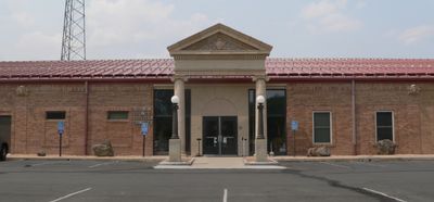
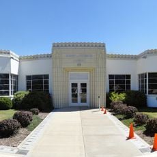
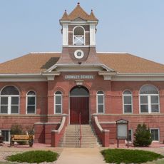
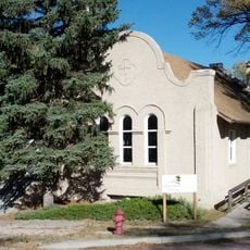
The county courthouse in Hugo handles administrative services including property taxes and vehicle registration for residents. Visitors can contact local government offices there to find information about public services and local matters.

The county operates three self-serve sandbagging stations that residents use to prepare flood barriers during heavy rainfall events. This system shows how locals have adapted practical infrastructure to handle seasonal weather challenges.

GPS coordinates: 38.92083,-103.48855

Latest update: December 7, 2025 20:24

Photos
Around this place
Show the full map
Calhan Paint Mines Archeological District
United States of America

Calhan Paint Mines Archeological District

68.3 km
Colorado Piedmont
United States of America

Colorado Piedmont

109.8 km
Peterson Air and Space Museum
United States of America

Peterson Air and Space Museum

105.7 km
Missile Defense Integration and Operations Center
United States of America

Missile Defense Integration and Operations Center

90.9 km
Cherry Creek Bridge
United States of America

Cherry Creek Bridge

116.7 km
Pikes Peak National Cemetery
United States of America

Pikes Peak National Cemetery

100.5 km
National Museum of World War II Aviation
United States of America

National Museum of World War II Aviation

107.4 km
Black Squirrel Creek Bridge
United States of America

Black Squirrel Creek Bridge

89.2 km
Comanche Crossing of the Kansas Pacific Railroad
United States of America

Comanche Crossing of the Kansas Pacific Railroad

115.1 km
Black Forest School
United States of America

Black Forest School

105.4 km
Taylor Memorial Chapel
United States of America

Taylor Memorial Chapel

106.9 km
Drennan School
United States of America

Drennan School

85.2 km
Farmers State Bank of Cope
United States of America

Farmers State Bank of Cope

99.3 km
Crow–Hightower House
United States of America

Crow–Hightower House

78.4 km
St. Mark United Presbyterian Church
United States of America

St. Mark United Presbyterian Church

96.6 km
Hugo Municipal Pool
United States of America

Hugo Municipal Pool

23.8 km
Eads Community Church
United States of America

Eads Community Church

78.5 km
J.G. Evans Barn
United States of America

J.G. Evans Barn

105.4 km
Crowley School
United States of America

Crowley School

86.8 km
West Plum Bush Creek Bridge
United States of America

West Plum Bush Creek Bridge

91.8 km
Plum Bush Creek Bridge
United States of America

Plum Bush Creek Bridge

91.3 km
Rock Island Snow Plow No. 95580
United States of America

Rock Island Snow Plow No. 95580

41.5 km
First Presbyterian Church of Ramah
United States of America

First Presbyterian Church of Ramah

62.8 km
Hotel Holly–Haswell Hotel
United States of America

Hotel Holly–Haswell Hotel

59.2 km
Spring Valley School
United States of America

Spring Valley School

113.7 km
El Paso County Fairgrounds
United States of America

El Paso County Fairgrounds

70.9 km
Paint Mines Interpretive Park
United States of America

Paint Mines Interpretive Park

68.1 km
Banning Lewis Ranch Vista Water Park
United States of America

Banning Lewis Ranch Vista Water Park

101.8 km
Show the full map
Reviews

Visited this place? Tap the stars to rate it and share your experience / photos with the community! Try now! You can cancel it anytime.

« Lincoln County - Administrative county division in eastern Colorado, United States » is provided by Around Us (aroundus.com). Images and texts are derived from Wikimedia project under a Creative Commons license. You are allowed to copy, distribute, and modify copies of this page, under the conditions set by the license, as long as this note is clearly visible.

Discover hidden gems everywhere you go!

From secret cafés to breathtaking viewpoints, skip the crowded tourist spots and find places that match your style. Our app makes it easy with voice search, smart filtering, route optimization, and insider tips from travelers worldwide. Download now for the complete mobile experience.

Around Us App Screenshot

A unique approach to discovering new places

Le Figaro

All the places worth exploring

France Info

A tailor-made excursion in just a few clicks

20 Minutes