Colorado Piedmont, Geological formation in north central Colorado, US.
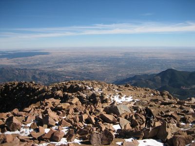
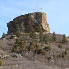
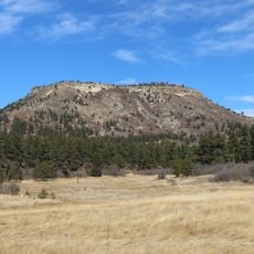
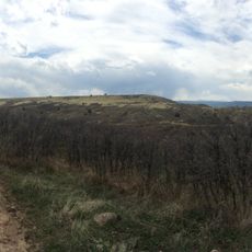
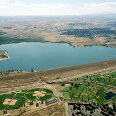
The Colorado Piedmont is a gently rolling valley in north central Colorado, running from the Denver area south toward Colorado Springs and sitting at a lower elevation than the surrounding plains and mountain foothills. The surface is made up of rounded hills shaped by long-term erosion and sediment left behind by ancient rivers.
The Colorado Piedmont started taking shape around 28 million years ago when tectonic movement lifted the land between Kansas and Utah. Rivers then shifted course and began cutting into the rock, gradually carving out the lower valley that exists today.
The Colorado Piedmont sits between the Great Plains to the east and the Rocky Mountains to the west, giving it a role as a transition zone that travelers notice as they move across the state. The soft hills and open grasslands have long drawn people passing through, and today the corridor remains one of the most traveled routes in Colorado.
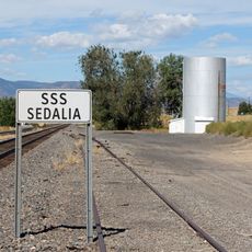
The region is easy to reach via Interstate 25, which runs through the valley from north to south. Visitors who want to explore beyond the highway should plan for some off-road driving or short walks, as many of the more interesting geological features are set back from the main road.
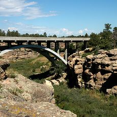
Near mile marker 293 on Interstate 25, a clear geological boundary is visible from the road where Upper Cretaceous sandstone layers drop sharply against older shale formations below. This boundary is one of the few places along the route where two very different rock types sit directly next to each other in plain sight.
The community of curious travelers
AroundUs brings together thousands of curated places, local tips, and hidden gems, enriched daily by 60,000 contributors worldwide.