Enable Location

We need your location to show you interesting places around you

Discover nearby places

Find interesting locations and hidden gems around you

Precise directions

Get accurate directions and distances to places

Your location is never shared with other users. It's only used when you tap the location button.

Kiowa County

Log in to your account

Start exploring — it's free

Trusted by 62,177 travelers worldwide

Continue with Google
Continue with Apple
or

We will send you a code to connect

By continuing, you accept our Terms and Conditions and our Privacy Policy

Check your inbox

We've sent a pincode in your inbox. Please enter the code below.

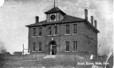
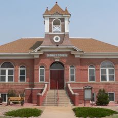
Kiowa County, County in eastern Colorado, United States.

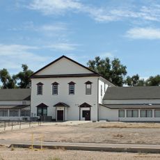
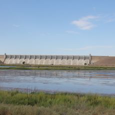
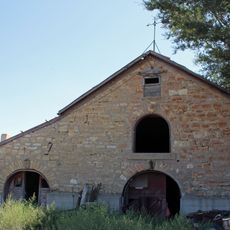
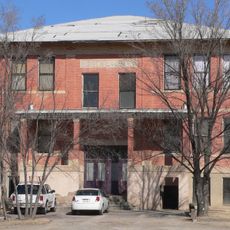
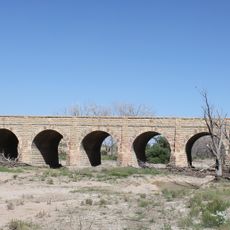
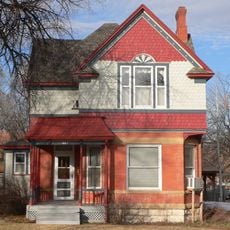
Kiowa County is an administrative division covering the eastern plains of Colorado with Eads as its county seat. The landscape consists primarily of open grassland and agricultural land spread across a large but sparsely populated area.

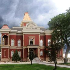
The county was established in 1889 during Colorado's period of territorial expansion and settlement. This creation reflected the broader movement to organize and develop the state's eastern plains region.

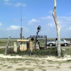
The residents of Kiowa County maintain connections to agricultural traditions through local farming practices and seasonal community gatherings.

The county operates on Mountain Time and is crossed by several highways that converge at Eads. The sparse settlement pattern means visitors should expect longer distances between towns and services.

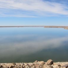
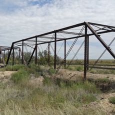
With fewer than one resident per square kilometer, this county ranks among Colorado's least populated areas. This sparse settlement creates long stretches of uninterrupted grassland and wide-open horizons.

The community of curious travelers

AroundUs brings together thousands of curated places, local tips, and hidden gems, enriched daily by 60,000 contributors worldwide.

Start exploring
Location
Inception
1889
Capital city
Eads
Shares border with
Cheyenne County, Prowers County, Bent County, Otero County, Crowley County, Lincoln County, Greeley County
GPS coordinates
38.43000,-102.74000
Latest update
December 7, 2025 19:22
Around this place
Mount Sunflower
United States of America

Mount Sunflower

89.8 km
Fort Lyon
United States of America

Fort Lyon

52.4 km
John Martin Reservoir
United States of America

John Martin Reservoir

44.6 km
John Martin Reservoir State Park
United States of America

John Martin Reservoir State Park

42.9 km
Koshare Indian Museum
United States of America

Koshare Indian Museum

86.9 km
Bent County High School
United States of America

Bent County High School

59.2 km
Cheyenne County Jail
United States of America

Cheyenne County Jail

55.1 km
Bent County Courthouse and Jail
United States of America

Bent County Courthouse and Jail

58.5 km
Crow–Hightower House
United States of America

Crow–Hightower House

6.9 km
Hugo Municipal Pool
United States of America

Hugo Municipal Pool

100.5 km
Eads Community Church
United States of America

Eads Community Church

6.8 km
Prowers Bridge
United States of America

Prowers Bridge

37.5 km
Crowley School
United States of America

Crowley School

100.7 km
Prowers County Courthouse
United States of America

Prowers County Courthouse

39.7 km
Dr. Frank Finney House
United States of America

Dr. Frank Finney House

86.4 km
Greeley County Courthouse
United States of America

Greeley County Courthouse

86.4 km
Hotel Holly–Haswell Hotel
United States of America

Hotel Holly–Haswell Hotel

37 km
Art Building
United States of America

Art Building

95 km
Holly SS Ranch Barn
United States of America

Holly SS Ranch Barn

68.6 km
Cheyenne County Courthouse
United States of America

Cheyenne County Courthouse

55.2 km
North La Junta School
United States of America

North La Junta School

84.1 km
Douglas Crossing Bridge
United States of America

Douglas Crossing Bridge

82.4 km
Granada Bridge
United States of America

Granada Bridge

53 km
Carnegie Public Library
United States of America

Carnegie Public Library

95.5 km
Davies Hotel
United States of America

Davies Hotel

39.2 km
Wilson A. Hart House
United States of America

Wilson A. Hart House

86.2 km
La Junta Swimming Pool
United States of America

La Junta Swimming Pool

87 km
Fox Theater
United States of America

Fox Theater

85.9 km
Show the full map
« Kiowa County - County in eastern Colorado, United States » is provided by Around Us (aroundus.com). Images and texts are derived from Wikimedia project under a Creative Commons license. You are allowed to copy, distribute, and modify copies of this page, under the conditions set by the license, as long as this note is clearly visible.

Discover hidden gems everywhere you go!

From secret cafés to breathtaking viewpoints, skip the crowded tourist spots and find places that match your style. Our app makes it easy with voice search, smart filtering, route optimization, and insider tips from travelers worldwide. Download now for the complete mobile experience.

Around Us App Screenshot

A unique approach to discovering new places

Le Figaro

All the places worth exploring

France Info

A tailor-made excursion in just a few clicks

20 Minutes

Around Us
Travel Guide & Maps
Download

Send to your phone

QR Code
1

Open the camera app on your mobile.

2

Point at the QR code with your camera. A notification will appear.

3

Tap the notification to open the link.