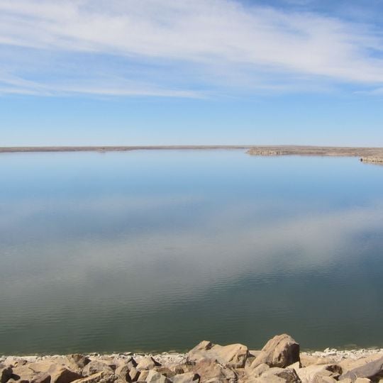
John Martin Reservoir, Large reservoir in Bent County, Colorado, US.
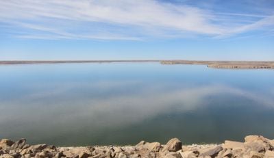
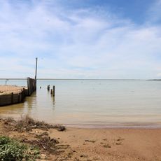
John Martin Reservoir is a large water body in Colorado created by an earth-fill dam that holds back water across a wide area. The shoreline features sandy banks and open spaces where visitors can camp, picnic, and explore walking paths throughout the grounds.
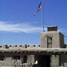
Congress approved the reservoir in 1939 after Representative John Martin championed flood control on the Arkansas River, and the Army Corps of Engineers began the dam that autumn. The government bought over 20,000 acres, including most of Caddoa, and moved 21 miles of Santa Fe Railway track. Martin died in 1939, and in June 1940 the dam and reservoir were renamed for him. Water storage began in January 1943; wartime delays pushed completion to October 1948.
The reservoir's name honours John Martin, the Colorado congressman who pushed the flood-control legislation through Congress; he died in 1939, and in June 1940 both dam and reservoir were renamed for him. The town of Caddoa was bought out and submerged, and 21 miles of Santa Fe Railway track were moved to make way for the water.
John Martin Reservoir lies in Bent County, with U.S. Route 50 running east–west north of the water and Colorado State Highway 183 linking it to Fort Lyon to the northwest. A BNSF Railway line follows the southern shoreline, crossing the arm fed by Rule Creek. The reservoir's surface area and water level shift with inflow and local climate, so the shoreline moves; the dam stands at the eastern end.
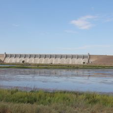
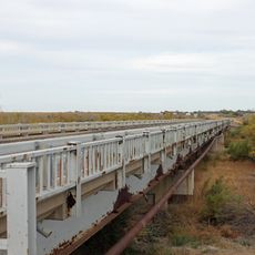
The reservoir's eastern end is held by John Martin Dam, an earth-fill embankment 118 feet tall and 2.6 miles long; its concrete midsection carries 16 radial gates that release water into the Arkansas River. The reservoir is considered full at its recreation and conservation pool, 11,658 acres at elevation 3,852 feet.
The community of curious travelers
AroundUs brings together thousands of curated places, local tips, and hidden gems, enriched daily by 93,845 contributors worldwide.