Mesa County, Administrative division in western Colorado, United States
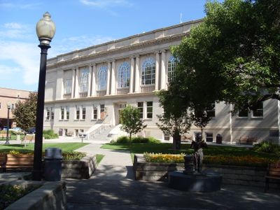
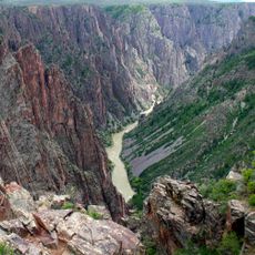
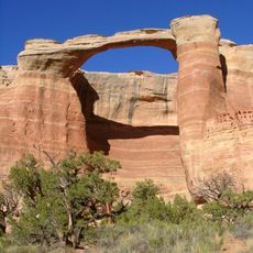
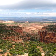
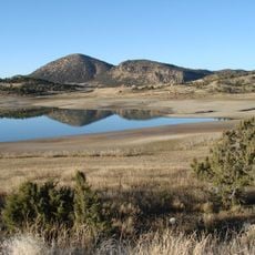
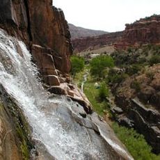
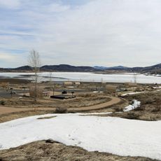
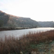
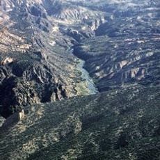
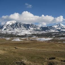
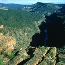
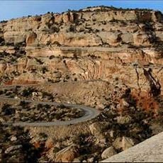
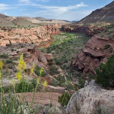
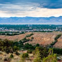
Mesa County is an administrative division in western Colorado that encompasses a diverse landscape ranging from desert plains to elevated plateaus and canyons. The county seat operates from Grand Junction, serving as the main hub for local services and governance.
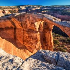
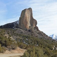
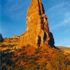
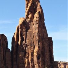
The area received its official designation in 1883, taking its name from the flat-topped mountain formations that characterize the Colorado Plateau. The naming reflects the distinctive geology that dominates the landscape.
The county administration actively supports community engagement through various boards and commissions, enabling residents to participate in local governance decisions.
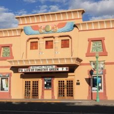
Visitors can access administrative services and information in central Grand Junction, where local offices operate during regular business hours. Most public facilities are easily accessible by car throughout the county.
The county operates a Japanese Beetle control program to protect local agriculture and maintain ecological balance in the region. This specialized initiative demonstrates the importance of managing invasive species that affect farming.
The community of curious travelers
AroundUs brings together thousands of curated places, local tips, and hidden gems, enriched daily by 60,000 contributors worldwide.