Kokopelli's Trail, Mountain biking trail between Loma and Moab, United States
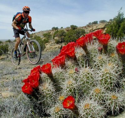
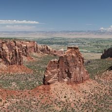
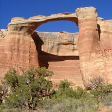
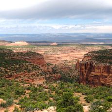
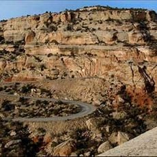
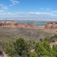
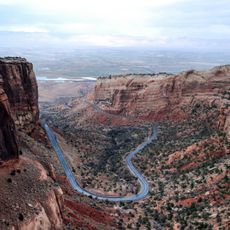
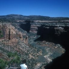
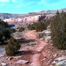
Kokopelli's Trail is a mountain biking route spanning approximately 142 miles through Colorado and Utah, offering diverse terrain from narrow single tracks to wide dirt roads. The path crosses elevations up to about 8,400 feet and connects the towns of Loma and Moab.
The Colorado Plateau Mountain Bike Trail Association created this route in 1989 in collaboration with the Bureau of Land Management and the United States Forest Service. This establishment made it possible to connect two important locations and opened the region to mountain bikers.
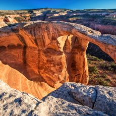
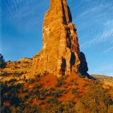
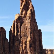
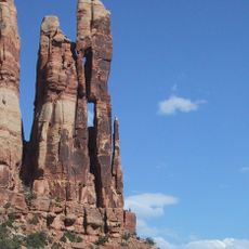
The trail takes its name from Kokopelli, a figure from Native American traditions of the Colorado Plateau often depicted as a flute player with a curved back. This mythological being continues to shape how people understand and connect with the region today.
Riders should carry sufficient water supplies since the eight camping areas along the route offer no drinking water or shade from the sun. Proper preparation and self-sufficiency are therefore essential for completing the longer stretches safely.
An Australian cyclist completed the entire route in about 11 hours in 2020, setting an impressive speed record for the trail. This extraordinary achievement demonstrates how challenging yet rewarding the path can be for experienced riders.
The community of curious travelers
AroundUs brings together thousands of curated places, local tips, and hidden gems, enriched daily by 60,000 contributors worldwide.