Enable Location

We need your location to show you interesting places around you

Discover nearby places

Find interesting locations and hidden gems around you

Precise directions

Get accurate directions and distances to places

Your location is never shared with other users. It's only used when you tap the location button.

Saddlehorn Campground

Log in to your account

Start exploring — it's free

Trusted by 62,189 travelers worldwide

Continue with Google
Continue with Apple
or

We will send you a code to connect

By continuing, you accept our Terms and Conditions and our Privacy Policy

Check your inbox

We've sent a pincode in your inbox. Please enter the code below.

Saddlehorn Campground

Saddlehorn Campground, Campground in Colorado National Monument, United States.

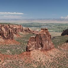
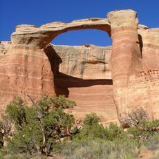
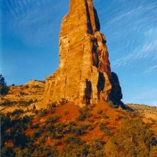
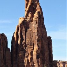
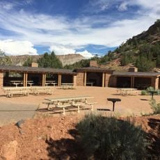
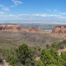
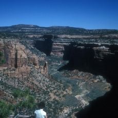
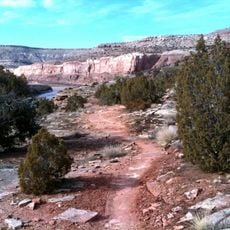
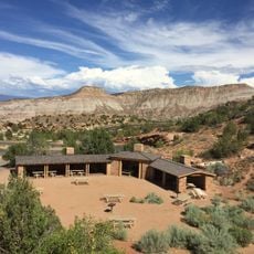
Saddlehorn Campground is a facility within Colorado National Monument featuring three loops with 79 campsites nestled among red rock formations and pinyon-juniper woodland at 5,500 feet elevation. The sites are distributed across distinct areas, offering varying degrees of shade and views of the surrounding landscape.

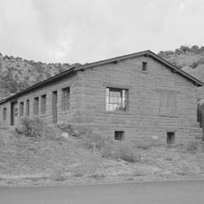
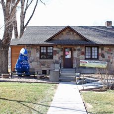
The campground was established in the early 1900s to serve visitors exploring the newly protected landscape of the monument. Over time, it expanded to include additional loops and amenities as visitation increased.

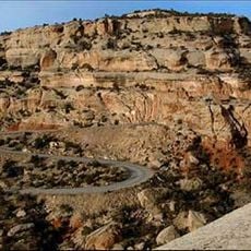
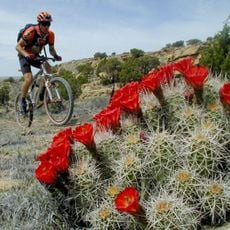
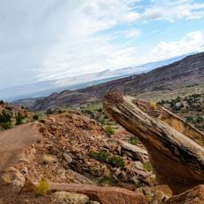
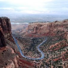
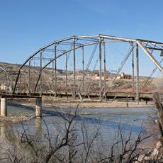
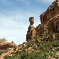
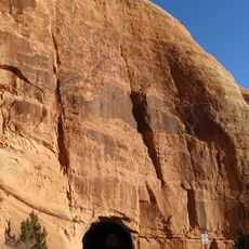
The grounds serve as a central point for cyclists, hikers, and photographers documenting the red sandstone formations and observing desert wildlife.

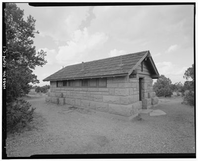
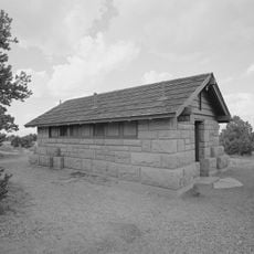
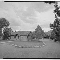
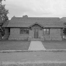
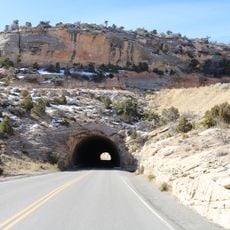
Access is via Rim Rock Drive, the main road through the monument, with clear signage directing you to each loop. Water and restroom facilities are available throughout, though there are no electrical hookups or full RV services at individual sites.

The sites are intentionally basic, without electrical hookups or extensive infrastructure, bringing visitors closer to the natural experience. This deliberate simplicity reflects the monument's philosophy of preserving wilderness without overdeveloping it.

The community of curious travelers

AroundUs brings together thousands of curated places, local tips, and hidden gems, enriched daily by 60,000 contributors worldwide.

Start exploring
Location
GPS coordinates
39.10551,-108.73263
Latest update
December 15, 2025 13:22
Around this place
Colorado National Monument
United States of America

Colorado National Monument

8.1 km
Rattlesnake Canyon
United States of America

Rattlesnake Canyon

13 km
Independence Monument
United States of America

Independence Monument

1.3 km
Rim Rock Drive
United States of America

Rim Rock Drive

7.6 km
Kissing Couple
United States of America

Kissing Couple

2.2 km
Kokopelli's Trail
United States of America

Kokopelli's Trail

11.5 km
Serpents Trail
United States of America

Serpents Trail

11.7 km
Saddlehorn Comfort Station
United States of America

Saddlehorn Comfort Station

46 m
Colorado National Monument Visitor Center Complex
United States of America

Colorado National Monument Visitor Center Complex

542 m
Devils Kitchen Picnic Shelter
United States of America

Devils Kitchen Picnic Shelter

11.8 km
Saddlehorn Caretaker's House and Garage
United States of America

Saddlehorn Caretaker's House and Garage

445 m
Saddlehorn Utility Area Historic District
United States of America

Saddlehorn Utility Area Historic District

651 m
Fruita Museum
United States of America

Fruita Museum

4.9 km
Monument Canyon
United States of America

Monument Canyon

2 km
Fruita Canyon
United States of America

Fruita Canyon

1.3 km
Ute Canyon
United States of America

Ute Canyon

8.3 km
Saddlehorn Visitor Center
United States of America

Saddlehorn Visitor Center

541 m
Bookcliff Shelter
United States of America

Bookcliff Shelter

489 m
Horsethief Canyon
United States of America

Horsethief Canyon

5.4 km
Saddlehorn Caretaker's Garage
United States of America

Saddlehorn Caretaker's Garage

469 m
Saddlehorn Caretaker's Residence
United States of America

Saddlehorn Caretaker's Residence

445 m
East Tunnel
United States of America

East Tunnel

11 km
Devils Kitchen Picnic Area
United States of America

Devils Kitchen Picnic Area

11.8 km
Mather Plaque in Colorado National Monument
United States of America

Mather Plaque in Colorado National Monument

522 m
Fruita Bridge
United States of America

Fruita Bridge

3.5 km
Balanced Rock
United States of America

Balanced Rock

277 m
Saddlehorn Oil Storage Building
United States of America

Saddlehorn Oil Storage Building

689 m
West Lower Tunnel
United States of America

West Lower Tunnel

900 m
Show the full map
« Saddlehorn Campground - Campground in Colorado National Monument, United States » is provided by Around Us (aroundus.com). Images and texts are derived from Wikimedia project under a Creative Commons license. You are allowed to copy, distribute, and modify copies of this page, under the conditions set by the license, as long as this note is clearly visible.

Discover hidden gems everywhere you go!

From secret cafés to breathtaking viewpoints, skip the crowded tourist spots and find places that match your style. Our app makes it easy with voice search, smart filtering, route optimization, and insider tips from travelers worldwide. Download now for the complete mobile experience.

Around Us App Screenshot

A unique approach to discovering new places

Le Figaro

All the places worth exploring

France Info

A tailor-made excursion in just a few clicks

20 Minutes

Around Us
Travel Guide & Maps
Download

Send to your phone

QR Code
1

Open the camera app on your mobile.

2

Point at the QR code with your camera. A notification will appear.

3

Tap the notification to open the link.