Enable Location

We need your location to show you interesting places around you

Discover nearby places

Find interesting locations and hidden gems around you

Precise directions

Get accurate directions and distances to places

Your location is never shared with other users. It's only used when you tap the location button.

Douglas County

Log in to your account

Start exploring — it's free

Trusted by 63,134 travelers worldwide

Continue with Google
Continue with Apple
or

We will send you a code to connect

By continuing, you accept our Terms and Conditions and our Privacy Policy

Check your inbox

We've sent a pincode in your inbox. Please enter the code below.

Discussion Reviews 1 Photos
65k Popularity

Douglas County, Administrative county in central Colorado, US.

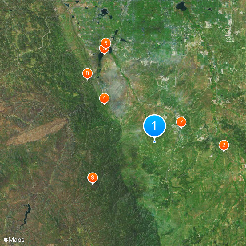
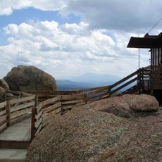
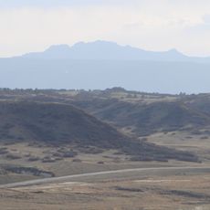
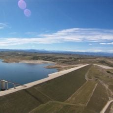
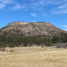
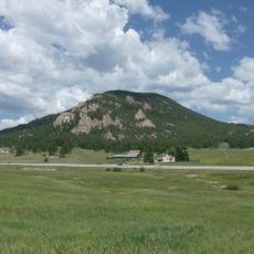
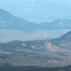
Douglas County is an administrative division in central Colorado between Denver and Colorado Springs, covering mountain regions, plains, and suburban areas. The territory extends over roughly 2,183 square kilometers (843 square miles) and connects different types of terrain with several populated communities.

The territorial legislature of Colorado created the county on November 1, 1861, during the early phase of settlement in the territory. The founding took place in a time when many western areas received new administrative structures after the gold rush.

The name honors Senator Stephen A. Douglas from Illinois, who played a major political role in the 19th century. Visitors today find an area with modern communities and natural areas that stretches across different elevations.

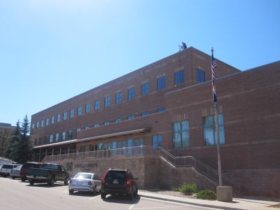
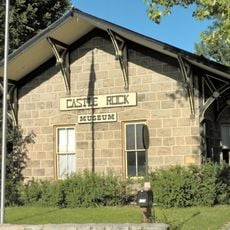
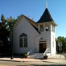
Castle Rock serves as the administrative center with government offices and public facilities for residents and visitors. Anyone interested in local services or information can find the contact points for the entire county there.

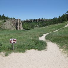
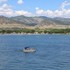
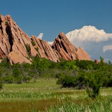
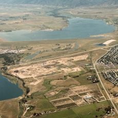
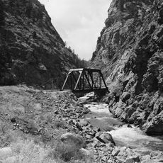
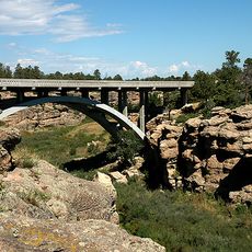
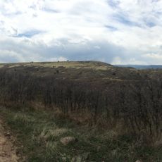
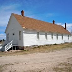
Castlewood Canyon, Chatfield, and Roxborough are three state parks within the county boundaries, used for hiking and nature observation. These protected areas offer access to different ecosystems from grassland to rock formations.

The community of curious travelers

AroundUs brings together thousands of curated places, local tips, and hidden gems, enriched daily by 60,000 contributors worldwide.

Start exploring
Location
Inception
November 1, 1861
Capital city
Castle Rock
Shares border with
Arapahoe County, El Paso County, Teller County, Elbert County, Jefferson County
GPS coordinates
39.35000,-104.93000
Latest update
December 13, 2025 18:29
Around this place
Castlewood Canyon State Park
United States of America

Castlewood Canyon State Park

16.6 km
Chatfield State Park
United States of America

Chatfield State Park

24 km
Roxborough State Park
United States of America

Roxborough State Park

14.9 km
Chatfield Reservoir
United States of America

Chatfield Reservoir

24.8 km
Devil's Head Lookout
United States of America

Devil's Head Lookout

17.8 km
Castle Rock
United States of America

Castle Rock

7.1 km
United States of America

High Line Canal

21.8 km
Devils Head
United States of America

Devils Head

17.8 km
United States of America

Continental Divide Raceways

3.7 km
Rueter-Hess Reservoir
United States of America

Rueter-Hess Reservoir

17.9 km
Colorado Renaissance Festival
United States of America

Colorado Renaissance Festival

13.7 km
Platte Canyon
United States of America

Platte Canyon

21.3 km
Dawson Butte
United States of America

Dawson Butte

5.6 km
Cherry Creek Bridge
United States of America

Cherry Creek Bridge

17.1 km
Berrian Mountain
United States of America

Berrian Mountain

38.6 km
Cherokee Ranch
United States of America

Cherokee Ranch

12 km
Green Mountain
United States of America

Green Mountain

32.3 km
Blue Jay Inn
United States of America

Blue Jay Inn

29.8 km
United States of America

Midway House

37.1 km
Green Mercantile Store
United States of America

Green Mercantile Store

30.3 km
Ridgeline Open Space
United States of America

Ridgeline Open Space

3.4 km
Pike's Peak Grange No. 163
United States of America

Pike's Peak Grange No. 163

15.9 km
Castle Rock Depot
United States of America

Castle Rock Depot

6.4 km
Hildebrand Ranch
United States of America

Hildebrand Ranch

26.8 km
Church of St. Philip-in-the-Field and Bear Canon Cemetery
United States of America

Church of St. Philip-in-the-Field and Bear Canon Cemetery

3.2 km
United States of America

Green Mountain Ranch

30.3 km
Ruth Memorial Methodist Episcopal Church
United States of America

Ruth Memorial Methodist Episcopal Church

23.8 km
Colorado Consistory No. 1
United States of America

Colorado Consistory No. 1

24.1 km
Show the full map
Reviews
Share your experience

No review yet

Discussions
Start a discussion...

No discussion yet

« Douglas County - Administrative county in central Colorado, US » is provided by Around Us (aroundus.com). Images and texts are derived from Wikimedia project under a Creative Commons license. You are allowed to copy, distribute, and modify copies of this page, under the conditions set by the license, as long as this note is clearly visible.

Discover hidden gems everywhere you go!

From secret cafés to breathtaking viewpoints, skip the crowded tourist spots and find places that match your style. Our app makes it easy with voice search, smart filtering, route optimization, and insider tips from travelers worldwide. Download now for the complete mobile experience.

Around Us App Screenshot

A unique approach to discovering new places

Le Figaro

All the places worth exploring

France Info

A tailor-made excursion in just a few clicks

20 Minutes

Around Us
Travel Guide & Maps
Download

Send to your phone

QR Code
1

Open the camera app on your mobile.

2

Point at the QR code with your camera. A notification will appear.

3

Tap the notification to open the link.