Platte Canyon, Canyon in Douglas and Jefferson Counties, United States.
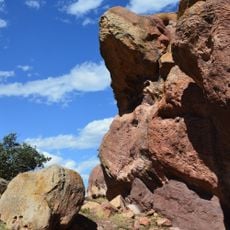
Platte Canyon is a gorge on the South Platte River in the Rocky Mountains of Colorado, southwest of Denver. Its narrowest section, Waterton Canyon, runs about 8 miles (13 km) between the hamlet of South Platte and Kassler, where the river leaves the mountains. There the walls rise about 1,000 feet (300 m) above the riverbed, which drops from roughly 6,100 feet to 5,500 feet at the canyon mouth. A diversion dam sends part of the flow into the High Line Canal.
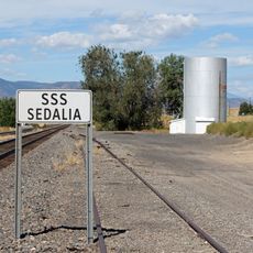
In the 1870s, the Denver, South Park and Pacific Railroad laid the first rail line through the canyon to connect mining towns in the mountains to the east. That route shaped how the corridor developed and turned the canyon into a key passage through the Rockies.
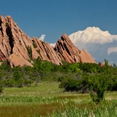
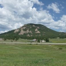
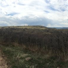
Platte Canyon sits at the edge between the high plains and the Rocky Mountains, and that transition is easy to feel when you walk through it. The narrow passage along the South Platte River gives the place a remote feel, even though populated areas are never far away.
The canyon can be reached from different points, and the experience varies depending on which entrance you use. Trail and road conditions change with the season, so it is worth checking before you go, especially in winter or after heavy rain.
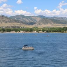
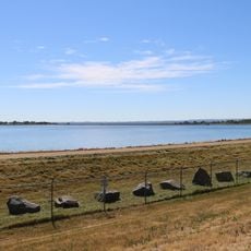
In the late 1920s Denver's Board of Water Commissioners proposed damming the canyon to flood it, but the Public Utilities Commission rejected the plan. Instead, the Strontia Springs Reservoir, completed in 1983 under the Foothills Project, inundated a 1.7-mile (2.7 km) stretch of Waterton Canyon.
The community of curious travelers
AroundUs brings together thousands of curated places, local tips, and hidden gems, enriched daily by 94,587 contributors worldwide.