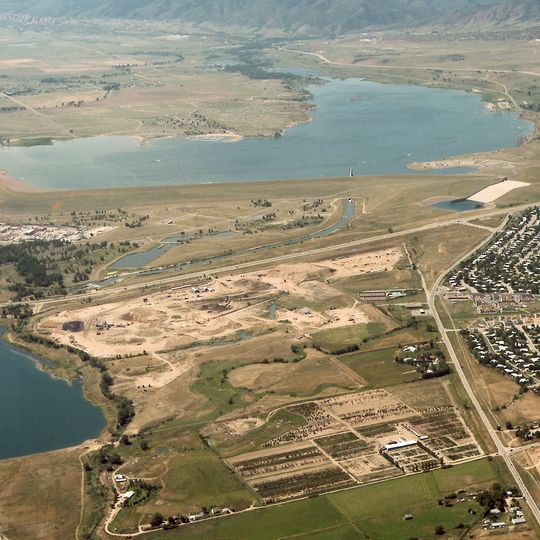
Chatfield Reservoir, Flood control reservoir in Littleton, United States.
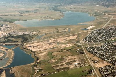
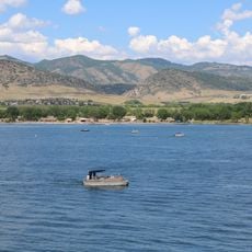
Chatfield Reservoir is an artificial lake on the South Platte River south of Littleton, Colorado, held back by a 13,136-foot (4,004 m) earthen dam rising 135 feet (41 m) above the streambed. The 1,500-acre lake reaches a normal depth of 59 feet (18 m) and drains more than 3,000 square miles. Plum Creek enters from the south and Deer Creek from the west.
The dam was built between 1967 and 1975 by the U.S. Army Corps of Engineers after catastrophic flooding in 1965 showed the need for better control. The project was a direct response to that disaster and the danger to downstream communities.
The reservoir's name comes from the Chatfield family, early settlers of the area, and the surrounding state park was established in 1975, the year the dam was finished. Birders use a published Chatfield bird watch list covering 212 species recorded at the water; bald eagles, white pelicans and burrowing owls have been seen. The lake is also a popular launch point for hot-air balloon flights between the Denver area and Pike National Forest.
The reservoir lies on the South Platte south of Littleton, with Plum Creek entering from the south and Deer Creek from the west. The 4,004-metre dam holds back the water, and a spillway sits at its right end. The surrounding Chatfield State Park has trails for walking and cycling and areas for camping.
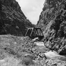
The reservoir flooded the abandoned roadbed of the Colorado and Southern Railway, a narrow-gauge line active from 1874 to 1942 and part of the Denver, South Park and Pacific Railroad until 1899. The roadbed can still be seen running from the southern shore into the water just west of the inlet.
The community of curious travelers
AroundUs brings together thousands of curated places, local tips, and hidden gems, enriched daily by 93,832 contributors worldwide.