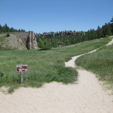
Continental Divide Raceways
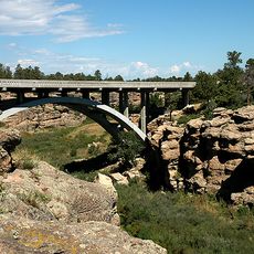
Continental Divide Raceways is a former racing facility in Castle Rock, Colorado, designed to host multiple racing formats on different courses. The complex featured a road course stretching almost 3 miles with ten turns, a half-mile oval, and a drag strip over 4,000 feet long for competitive events.
The track opened in 1959 under the direction of Sid Langsam and held its first major event, the Continental Divide Premiere, in August of that year. It later gained recognition for hosting USAC Championship and Trans-Am series races before closing in 1979 following a serious accident.
The site carries strong memories of the area's racing heritage, shaped by decades of competition and famous drivers who raced here. Locals and visitors remember it as a gathering place where speed and skill drew communities together for shared excitement.
The location sits at a high elevation, which affects engine performance, and weather can shift quickly between sunny and windy conditions. Visitors should prepare for changing weather and remember that the open landscape offers limited shelter from elements.
Evel Knievel performed his famous motorcycle jump over 11 Dodge vehicles in 1972, a stunt that made the track known for extreme motorsport moments. This daring feat remains one of the most talked-about events in the track's history among locals.
The community of curious travelers
AroundUs brings together thousands of curated places, local tips, and hidden gems, enriched daily by 60,000 contributors worldwide.