Enable Location

We need your location to show you interesting places around you

Discover nearby places

Find interesting locations and hidden gems around you

Precise directions

Get accurate directions and distances to places

Your location is never shared with other users. It's only used when you tap the location button.

Tri-Lakes, Colorado

Log in to your account

Start exploring — it's free

Trusted by 62,189 travelers worldwide

Continue with Google
Continue with Apple
or

We will send you a code to connect

By continuing, you accept our Terms and Conditions and our Privacy Policy

Check your inbox

We've sent a pincode in your inbox. Please enter the code below.

Tri-Lakes, Colorado

Tri-Lakes, Colorado, Residential region between Denver and Colorado Springs, United States

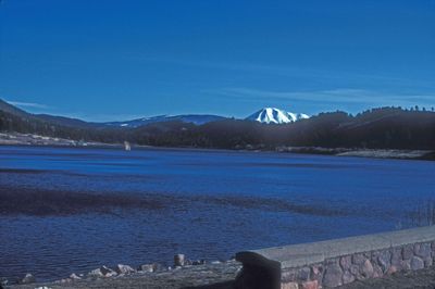
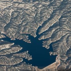
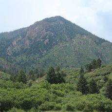
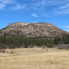
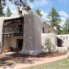
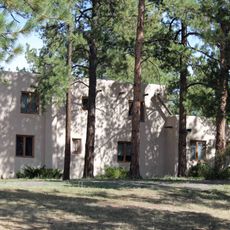
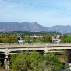
The Tri-Lakes region centers on Monument Lake, Palmer Lake, and Lake Woodmoor, which lie along the Palmer Divide in northern El Paso County. Rolling terrain with pine forests and residential neighborhoods spread around and between these three water bodies, creating a woodland setting mixed with suburban areas.

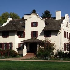
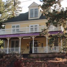
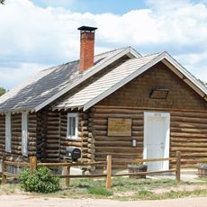
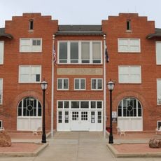
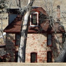
Small settlements formed around the three lakes beginning in the 1800s and grew into residential communities. The natural water sources and forested landscape shaped how these towns developed and spread across the region.

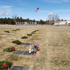
The three lakes have been gathering places for residents since the towns formed around them in the 1800s. Today they remain the heart of community life, where neighbors meet and spend time together throughout the year.

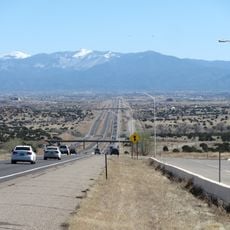
The region sits between Denver and Colorado Springs, making it easy to reach from either city by car. Visitors can easily drive between the different towns and access the lakes, parks, and trails scattered throughout the area.

The three lakes have different ownership and access rules that often surprise visitors. Some are fully public while others are privately managed, which shapes where people can swim, fish, or boat in the region.

The community of curious travelers

AroundUs brings together thousands of curated places, local tips, and hidden gems, enriched daily by 60,000 contributors worldwide.

Start exploring
Location
GPS coordinates
39.10000,-104.87000
Latest update
December 14, 2025 09:42
Around this place
Garden of the Gods
United States of America

Garden of the Gods

24.7 km
Focus on the Family
United States of America

Focus on the Family

16.8 km
Interstate 25
United States of America

Interstate 25

4.2 km
United States Air Force Academy Cadet Chapel
United States of America

United States Air Force Academy Cadet Chapel

10.3 km
Falcon Stadium
United States of America

Falcon Stadium

11.7 km
Cave of the Winds
United States of America

Cave of the Winds

25.6 km
Glen Eyrie
United States of America

Glen Eyrie

23.2 km
Flying W Ranch
United States of America

Flying W Ranch

19.2 km
Rampart Reservoir
United States of America

Rampart Reservoir

15.8 km
United States Air Force Academy Cemetery
United States of America

United States Air Force Academy Cemetery

9.7 km
United States Air Force Academy, Cadet Area
United States of America

United States Air Force Academy, Cadet Area

10.4 km
Rocky Mountain Dinosaur Resource Center
United States of America

Rocky Mountain Dinosaur Resource Center

19.6 km
Santa's Workshop
United States of America

Santa's Workshop

23.6 km
Blodgett Peak
United States of America

Blodgett Peak

16 km
Rock Ledge Ranch Historic Site
United States of America

Rock Ledge Ranch Historic Site

25.2 km
Western Museum of Mining & Industry
United States of America

Western Museum of Mining & Industry

8.8 km
Dawson Butte
United States of America

Dawson Butte

23 km
Eastholme
United States of America

Eastholme

24.1 km
Black Forest School
United States of America

Black Forest School

17.5 km
Taylor Memorial Chapel
United States of America

Taylor Memorial Chapel

16.7 km
J.G. Evans Barn
United States of America

J.G. Evans Barn

15.8 km
Reginald Sinclaire House
United States of America

Reginald Sinclaire House

20.8 km
Inez Johnson Lewis School
United States of America

Inez Johnson Lewis School

990 m
Cottonwood Creek Bridge
United States of America

Cottonwood Creek Bridge

19.8 km
John Kinner House
United States of America

John Kinner House

20.6 km
The Country Club at Woodmoor
United States of America

The Country Club at Woodmoor

3 km
Regal Interquest Stadium 14
United States of America

Regal Interquest Stadium 14

13.2 km
Ppld - Library 21c
United States of America

Ppld - Library 21c

17.7 km
Show the full map
« Tri-Lakes, Colorado - Residential region between Denver and Colorado Springs, United States » is provided by Around Us (aroundus.com). Images and texts are derived from Wikimedia project under a Creative Commons license. You are allowed to copy, distribute, and modify copies of this page, under the conditions set by the license, as long as this note is clearly visible.

Discover hidden gems everywhere you go!

From secret cafés to breathtaking viewpoints, skip the crowded tourist spots and find places that match your style. Our app makes it easy with voice search, smart filtering, route optimization, and insider tips from travelers worldwide. Download now for the complete mobile experience.

Around Us App Screenshot

A unique approach to discovering new places

Le Figaro

All the places worth exploring

France Info

A tailor-made excursion in just a few clicks

20 Minutes

Around Us
Travel Guide & Maps
Download

Send to your phone

QR Code
1

Open the camera app on your mobile.

2

Point at the QR code with your camera. A notification will appear.

3

Tap the notification to open the link.