High Line Canal, National Recreation Trail and waterway in Denver metropolitan area, Colorado.
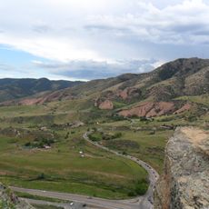
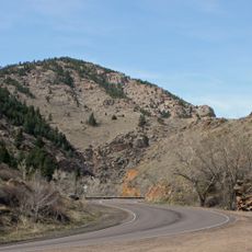
The High Line Canal is an irrigation waterway and National Recreation Trail that extends approximately 71 miles through Douglas, Arapahoe, Denver, and Adams Counties. The canal follows gentle terrain contours that allow water to flow downhill without mechanical pumping.
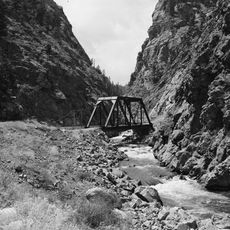
Engineers constructed this canal in 1883 to transport water from the South Platte River for irrigation purposes across the region. The project reflects the water management infrastructure that enabled settlement and agricultural growth on the Colorado plains.
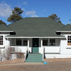
The canal path connects various communities and serves as a shared space where local residents regularly walk, cycle, and ride horses together. It runs through both residential areas and open spaces, becoming part of the daily rhythm of the Denver region.
Multiple entry points line the canal route, making it easy to access for hiking, cycling, and horseback riding activities. Maps and detailed information about conditions are available from the High Line Canal Conservancy.
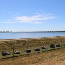
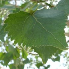
The canal loses 60 to 80 percent of its water through seepage, unintentionally creating wetland areas alongside the path. This loss has inadvertently supported wildlife and shaped local ecosystems in unexpected ways.
The community of curious travelers
AroundUs brings together thousands of curated places, local tips, and hidden gems, enriched daily by 60,000 contributors worldwide.