Dolores County

Log in to your account

AroundUs is a community-driven map of interesting places, built by curious explorers like you. It grows with every review, story, and photo you share.
Connect to save your favorite spots, contribute locations, and create personalized routes.
By continuing, you accept our Terms and Conditions and our Privacy Policy
Add to collection
Map
Suggest a change
Share

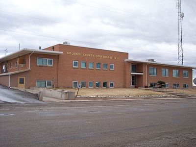
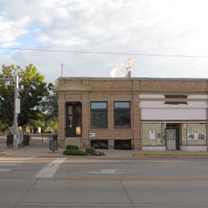
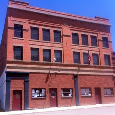
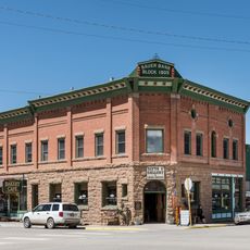
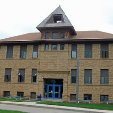
Dolores County, Administrative division in western Colorado, United States.

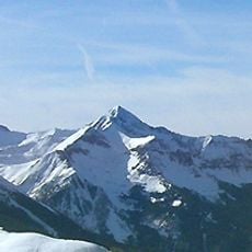
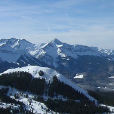
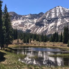
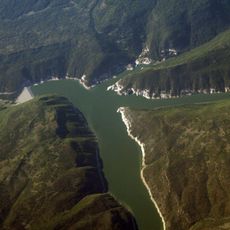
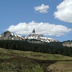
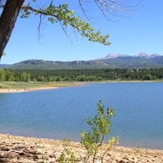
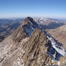
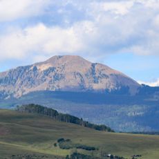
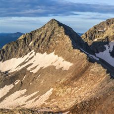
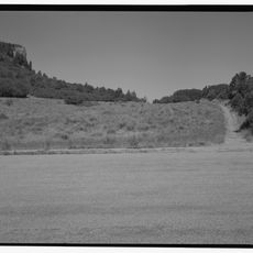
Dolores County is an administrative division in western Colorado characterized by high mesas, narrow valleys, and mountain ridges. The landscape transitions between open plateau areas and forested mountain slopes with varying elevations throughout the region.

The county was established in 1881 and named after the Dolores River flowing through the western sections. This creation reflected the administrative organization of Colorado during the late 19th century.

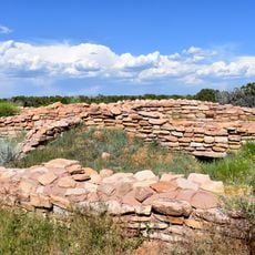
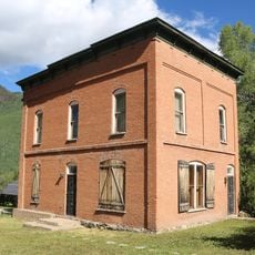
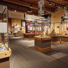
The region shows traces of dense settlement from centuries past at various locations throughout the county. Visitors can encounter archaeological sites that reveal how many people once lived and built communities here.

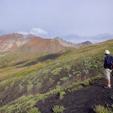
Visitors should prepare for changing elevations and varying weather conditions across different parts of the area. The best time to explore is during stable weather periods with proper preparation for high-altitude conditions.

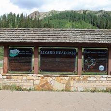
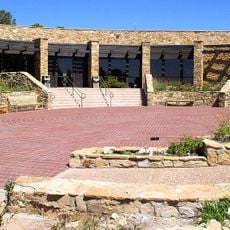
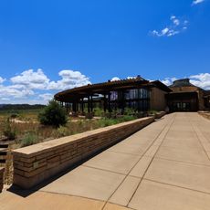
A substantial portion of the land is federally owned, including protected areas and national monuments within the region. These public lands shape the character of the area and offer various opportunities for outdoor activities.

GPS coordinates: 37.75248,-108.45961

Latest update: December 7, 2025 20:45

Photos
Around this place
Show the full map
Wilson Peak
United States of America

Wilson Peak

43.5 km
Mount Wilson
United States of America

Mount Wilson

42.3 km
Hesperus Mountain
United States of America

Hesperus Mountain

47.3 km
McPhee Reservoir
United States of America

McPhee Reservoir

21.9 km
Lizard Head
United States of America

Lizard Head

45.7 km
Lizard Head Pass
United States of America

Lizard Head Pass

49 km
Mancos State Park
United States of America

Mancos State Park

42.6 km
Lowry Pueblo
United States of America

Lowry Pueblo

44.6 km
El Diente Peak
United States of America

El Diente Peak

41.1 km
Lizard Head Wilderness
United States of America

Lizard Head Wilderness

40.1 km
Lone Cone (Colorado)
United States of America

Lone Cone (Colorado)

23.4 km
Anasazi Heritage Center
United States of America

Anasazi Heritage Center

31.7 km
Little Cone
United States of America

Little Cone

37.8 km
Gladstone Peak
United States of America

Gladstone Peak

43.2 km
William Kauffman House
United States of America

William Kauffman House

38.5 km
Canyons of the Ancients Visitor Center and Museum
United States of America

Canyons of the Ancients Visitor Center and Museum

31.7 km
Wrightsman House
United States of America

Wrightsman House

47.7 km
Rico Town Hall
United States of America

Rico Town Hall

38.4 km
Old Cortez High School
United States of America

Old Cortez High School

46.4 km
Montezuma Valley Irrigation Company Flume No. 6
United States of America

Montezuma Valley Irrigation Company Flume No. 6

45.2 km
Montezuma Valley National Bank and Store Building
United States of America

Montezuma Valley National Bank and Store Building

46.3 km
Mancos Theatre
United States of America

Mancos Theatre

47.8 km
Bauer Bank Block
United States of America

Bauer Bank Block

47.8 km
Mancos High School
United States of America

Mancos High School

47.6 km
Knife Edge Trail
United States of America

Knife Edge Trail

49.8 km
Mesa Verde Visitor and Research Center
United States of America

Mesa Verde Visitor and Research Center

46.6 km
Colorado Welcome Center at Cortez
United States of America

Colorado Welcome Center at Cortez

46 km
Mesa Verde National Park Entrance Station
United States of America

Mesa Verde National Park Entrance Station

47 km
Show the full map
Reviews

Visited this place? Tap the stars to rate it and share your experience / photos with the community! Try now! You can cancel it anytime.

« Dolores County - Administrative division in western Colorado, United States » is provided by Around Us (aroundus.com). Images and texts are derived from Wikimedia project under a Creative Commons license. You are allowed to copy, distribute, and modify copies of this page, under the conditions set by the license, as long as this note is clearly visible.

Discover hidden gems everywhere you go!

From secret cafés to breathtaking viewpoints, skip the crowded tourist spots and find places that match your style. Our app makes it easy with voice search, smart filtering, route optimization, and insider tips from travelers worldwide. Download now for the complete mobile experience.

Around Us App Screenshot

A unique approach to discovering new places

Le Figaro

All the places worth exploring

France Info

A tailor-made excursion in just a few clicks

20 Minutes