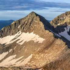
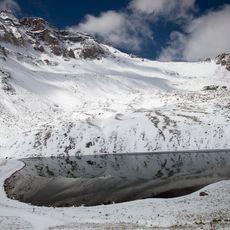
Little Cone, Mountain summit in San Miguel Mountains range, Colorado, US
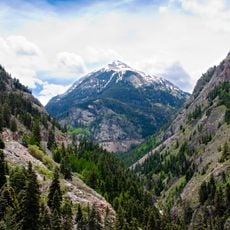
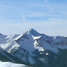
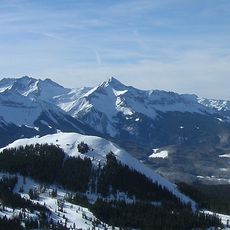
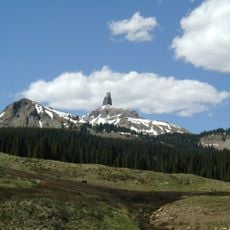
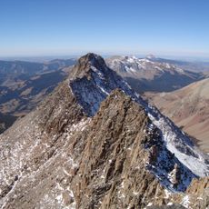
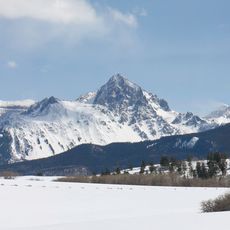
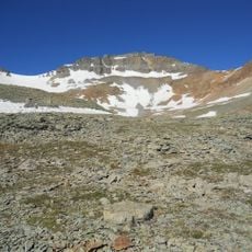
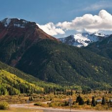
Little Cone is a mountain summit in the San Miguel Range located within Uncompahgre National Forest at an elevation of around 11,988 feet. The peak rises roughly 15 miles west of Telluride and offers views across the surrounding mountain terrain.
Little Cone is a laccolith, a dome of granogabbro injected into sedimentary layers during the Miocene. The surrounding rocks record older events: the Permian Cutler Formation, Triassic Dolores red beds, and Jurassic Entrada Sandstone, which holds a vanadium-uranium layer about 16 km long. Faulting and Pleistocene uplift later shaped the peak.
The Entrada Sandstone on Little Cone holds a nearly continuous vanadium-uranium layer about 16 km long and 1.6 to 2.4 km wide, with a possible second, smaller layer. Pleistocene terrace gravel and Holocene alluvium carry placer gold, the only other ore in the area.
Little Cone lies in Uncompahgre National Forest, 15.0 miles (24.1 km) west of Telluride in San Miguel County, Colorado. The 11,988-foot (3,654 m) summit is reached by routes across the San Miguel Mountains; the surrounding terrain includes the Cutler, Dolores, Entrada and Morrison formations. Plan for high-altitude conditions and check forecasts before setting out.
The granogabbro that forms the Little Cone laccolith is the most abundant of four igneous rock types intruded during the Miocene; granodiorite and rhyolite occur as sills in the Dakota Sandstone and Mancos Shale, and microgabbro as dikes. Faulting later displaced these rocks, forming two narrow north- to northwest-trending grabens.
The community of curious travelers
AroundUs brings together thousands of curated places, local tips, and hidden gems, enriched daily by 94,049 contributors worldwide.