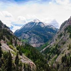
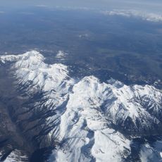
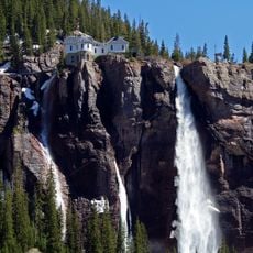
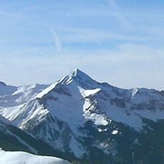
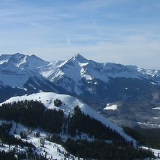
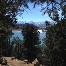
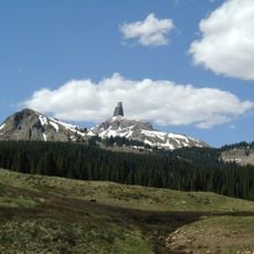
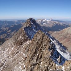
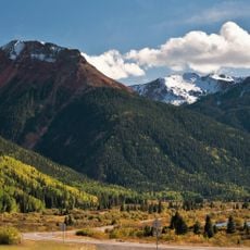
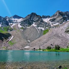
Dallas Divide, Road mountain pass in Colorado, United States.
Dallas Divide is a mountain pass where State Highway 62 crosses at an elevation of 2,738 meters (8,983 feet), connecting San Miguel County to Ouray County through the San Juan Mountains. Both sides of this route maintain a steady grade suitable for standard traffic.
The first toll road through the pass opened in 1880, helping travelers connect between settlements in southwestern Colorado. This early infrastructure was crucial for linking isolated communities in the mountainous region.
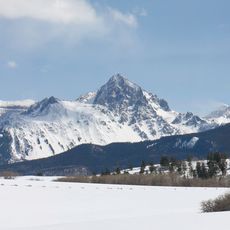
The name comes from Dallas Creek, which drains the basin north of Mount Sneffels into the Uncompahgre River; the creek in turn honours George M. Dallas, 11th Vice President of the United States. A post office named Dallas Divide operated here from 24 May 1894 to 23 July 1909.
State Highway 62 crosses the pass about 12 miles (19 km) west of Ridgway, on the saddle between the San Juan Mountains and the Uncompahgre Plateau. The road links Ouray County with San Miguel County, so drivers cross a county line at the summit. The pass sits at 8,983 feet (2,738 m), high enough that conditions can differ from Ridgway below.
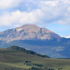
The pass creates a natural boundary between the San Juan Mountains to the south and the Uncompahgre Plateau to the north. This geographic division is visible from the road and marks a clear shift in the surrounding landscape.
The community of curious travelers
AroundUs brings together thousands of curated places, local tips, and hidden gems, enriched daily by 94,583 contributors worldwide.