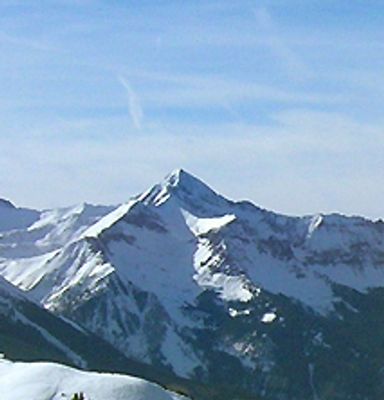
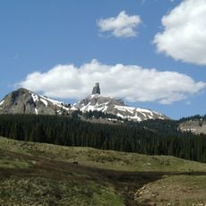
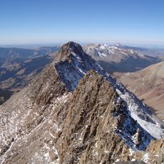
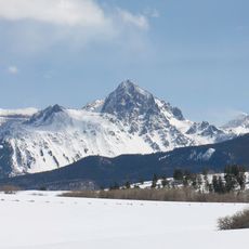
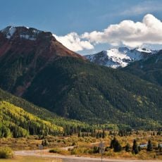
Wilson Peak, Mountain summit in San Miguel County, Colorado, US
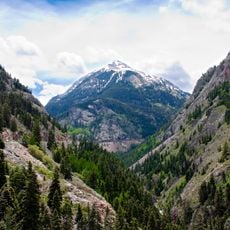
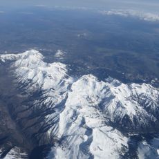
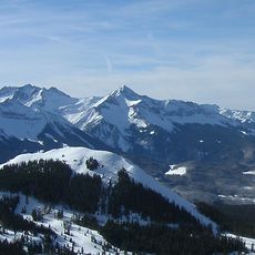
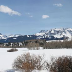
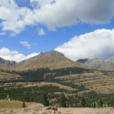
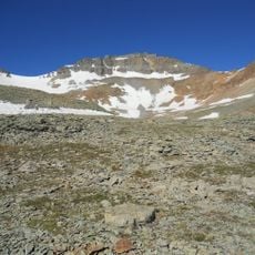
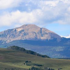
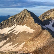
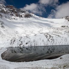
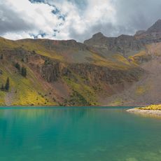
Wilson Peak is a mountain in the Lizard Head Wilderness of Uncompahgre National Forest within the San Juan Mountains, reaching approximately 14,000 feet in elevation. The summit sits in an alpine environment that transitions from dense forest at lower elevations to exposed rocky terrain near the top.
The mountain was named after A.D. Wilson, the chief topographer of the Hayden Survey in the 1800s. Before that, indigenous peoples of the region knew it by the name Shandoka, which translates to Storm Maker.
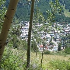
The mountain holds significance as a recognizable symbol of Colorado's high peaks and appears frequently in regional media and advertising. Its distinctive silhouette has become synonymous with the state's mountain landscape.
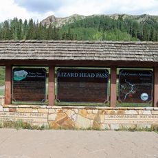
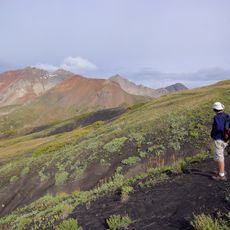
The route to the summit requires technical climbing skills and follows the Rock of Ages Trail for a round trip of about 10 miles. Visitors should prepare for steep terrain and exposed rock sections that demand climbing experience and proper gear.
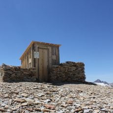
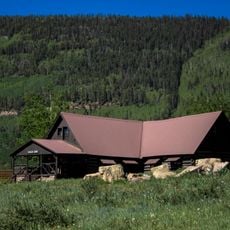
A nonprofit organization purchased private land sections to secure public access to the mountain after years of disputes between landowners and climbers. This action opened the way for many more visitors to reach the summit and explore the area.
The community of curious travelers
AroundUs brings together thousands of curated places, local tips, and hidden gems, enriched daily by 60,000 contributors worldwide.