Blue Lake Trail, Wilderness hiking trail in Ouray County, United States
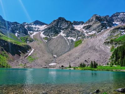
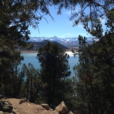
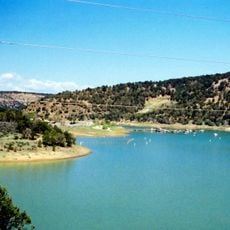
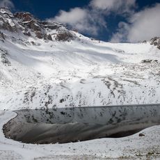
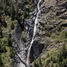
The Blue Lake Trail is a hiking route in the Mount Sneffels Wilderness that spans about 11.5 kilometers and passes three alpine lakes situated at different elevations. The trail leads past these water bodies along its full length in the high country.
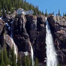
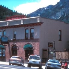
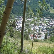
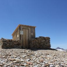
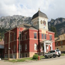
The trail passes through areas once used for mining operations near Camp Bird Mine, and ruins of the Atlas Mill remain visible along the route. These remnants reveal the region's past industrial activity in the mountains.
The Mount Sneffels Wilderness area maintains strict preservation protocols, prohibiting motorized vehicles and requiring visitors to use designated camping areas.
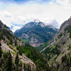
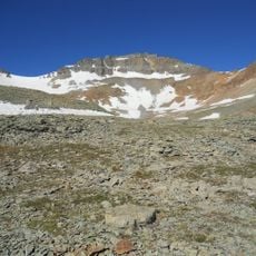
Hikers should prepare for significant elevation gain on the full route, though the lower lake is reachable through a shorter round-trip distance. Beginners can therefore walk a portion of the trail without completing the entire distance.
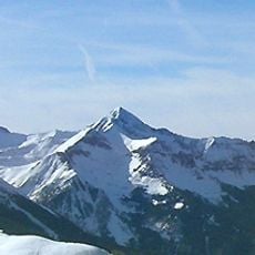
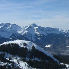
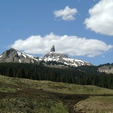
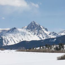
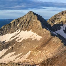
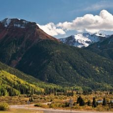
The route features expansive meadows filled with Colorado wildflowers, and the path leads to Blue Lake Pass at significant elevation. Wolcott Mountain is visible from several vantage points along the route and offers lasting views during the hike.
Location: Ouray County
Address: Blue Lakes Trail, Colorado, USA
GPS coordinates: 38.02247,-107.81868
Latest update: December 6, 2025 19:10
Colorado features natural areas and historical sites away from common routes. The locations range from sand formations at Paint Mines Park to Zapata waterfalls. Bishop Castle displays hand-built stone architecture in the forest, while Devil's Causeway presents narrow rock bridges in the wilderness. Fossil discoveries, dinosaur tracks, and abandoned mining towns document the state's history.
Red Mountain Pass
16.6 km
Mount Sneffels
3.1 km
Bridal Veil Falls
12.3 km
Wilson Peak
23.2 km
Mount Wilson
25.4 km
Ridgway State Park
22.4 km
Box Canyon
12.3 km
Lizard Head
23.8 km
Dallas Divide
10.1 km
Lizard Head Pass
24.7 km
St. Elmo Hotel
12.9 km
Mount Sneffels Wilderness
4 km
Vermilion Peak
24.9 km
Telluride Historic District
9.5 km
Ridgway Reservoir
23.8 km
Dallas Peak
3.9 km
Fort Peabody
12.7 km
Gladstone Peak
24.5 km
Gilpin Peak
4.6 km
Teakettle Mountain
5.5 km
Western Hotel
12.9 km
Ouray City Hall and Walsh Library
13 km
Wright's Opera House
12.9 km
Ouray County Courthouse
13 km
Ouray Historic District
12.7 km
Bear Creek Falls
14.1 km
Telluride Historical Museum
9.2 km
Million Dollar Highway
15.8 kmReviews
Visited this place? Tap the stars to rate it and share your experience / photos with the community! Try now! You can cancel it anytime.
Discover hidden gems everywhere you go!
From secret cafés to breathtaking viewpoints, skip the crowded tourist spots and find places that match your style. Our app makes it easy with voice search, smart filtering, route optimization, and insider tips from travelers worldwide. Download now for the complete mobile experience.
A unique approach to discovering new places❞
— Le Figaro
All the places worth exploring❞
— France Info
A tailor-made excursion in just a few clicks❞
— 20 Minutes