La Plata County, Administrative division in southwestern Colorado, United States.
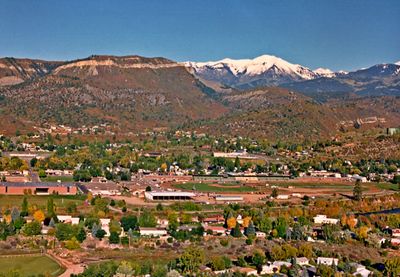
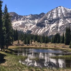
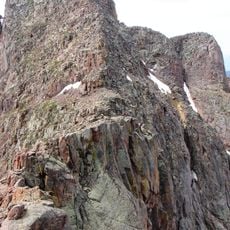
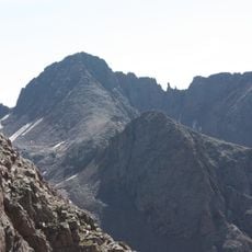
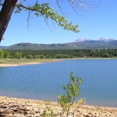
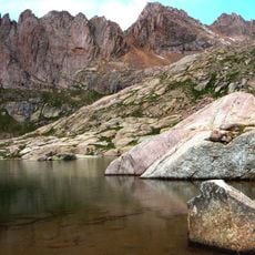
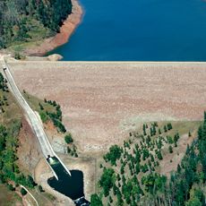
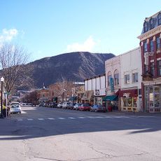
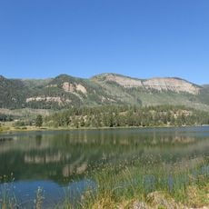
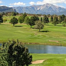
La Plata County is an administrative division in southwestern Colorado featuring rugged mountainous terrain, river valleys, and forested slopes. The landscape varies from alpine heights to lower elevations where settlements and agricultural lands are scattered throughout the region.
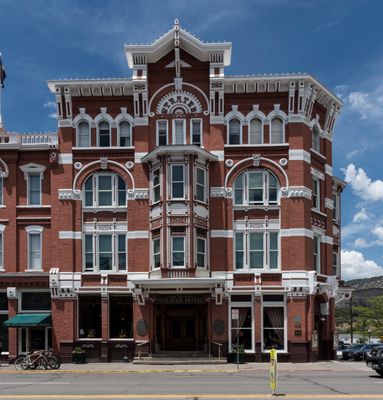
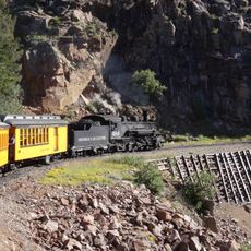
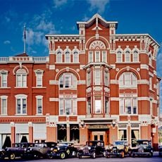
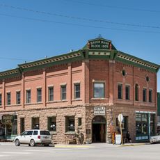
The county was established in 1874 with a name derived from Spanish words meaning silver, reflecting the mining boom that drew early settlers to the area. Mineral extraction shaped economic growth and settlement patterns for generations.
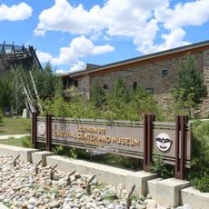
The region carries strong ties to the Southern Ute Indian Tribe, whose presence shapes local place names and community initiatives. This heritage remains visible in how the land and its communities are understood and respected today.
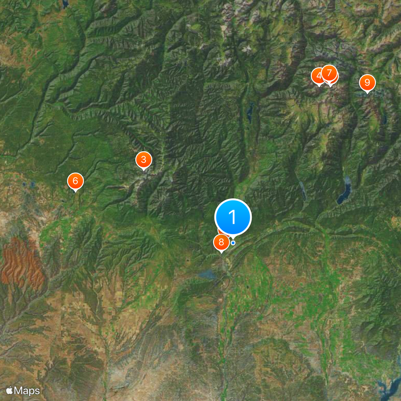
The area is large and diverse, so planning ahead to identify which parts interest you makes visits easier. Driving distances between different sections can be substantial, so allowing adequate travel time is important.
The region sits at a geographic crossroads where different mountain systems and ecosystems converge, creating distinct landscape zones visible within short distances. This transition makes the area popular among those seeking varied natural environments without extensive travel.
The community of curious travelers
AroundUs brings together thousands of curated places, local tips, and hidden gems, enriched daily by 60,000 contributors worldwide.