Arapahoe County

Log in to your account

AroundUs is a community-driven map of interesting places, built by curious explorers like you. It grows with every review, story, and photo you share.
Connect to save your favorite spots, contribute locations, and create personalized routes.
By continuing, you accept our Terms and Conditions and our Privacy Policy
Add to collection
Map
Suggest a change
Share

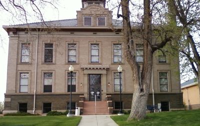
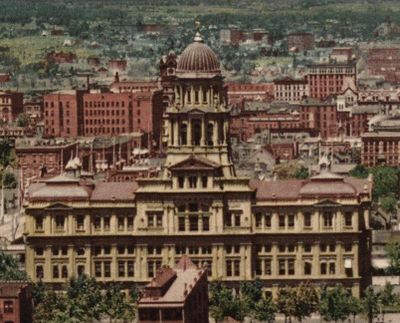
Arapahoe County, County administrative region in Denver metropolitan area, United States

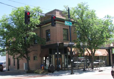
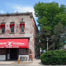
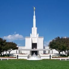
Arapahoe County is an administrative division in Colorado spanning urban neighborhoods east of Denver and open land reaching toward the foothills. The territory includes towns of varying size along with parks and natural areas within the metro region.

The territory was established in November 1861 by the Colorado Territorial Assembly as one of the original seventeen counties in the region. Boundaries shifted over the following decades as new counties were carved from its original extent.

The name derives from the Arapaho people who once roamed these eastern plains and mountain foothills before settlers arrived in large numbers. Today the connection lives on mainly through place names and historical markers scattered across the territory.

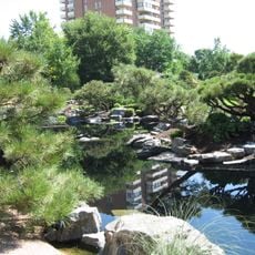
Public transit connects major towns within the administrative area, though many parts are easier to reach by car. Visitors will find recreational areas and facilities spread throughout, from downtown cores to more rural sections.

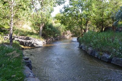
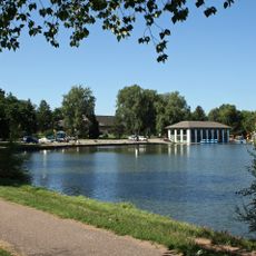
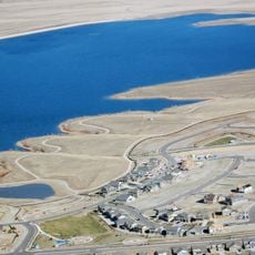
Cherry Creek State Park in Aurora holds a large water reservoir used for boating and swimming, and it includes a designated zone where dogs can run without leashes. The park sits within the administrative borders and draws visitors seeking outdoor recreation close to the city.

Location: Colorado

Inception: November 1, 1861

Capital city: Littleton

Shares border with: Denver County, Adams County, Washington County, Lincoln County, Elbert County, Douglas County, Jefferson County

Website: http://co.arapahoe.co.us

GPS coordinates: 39.64000,-104.33000

Latest update: December 13, 2025 19:30

Photos
Around this place
Molly Brown House
United States of America

Molly Brown House

56.7 km
Denver Art Museum
United States of America

Denver Art Museum

57.5 km
Denver Mint
United States of America

Denver Mint

57.8 km
Denver Public Library
United States of America

Denver Public Library

57.4 km
Jesus the Homeless
Canada

Jesus the Homeless

58.4 km
Denver Botanic Gardens
United States of America

Denver Botanic Gardens

55 km
International Church of Cannabis
United States of America

International Church of Cannabis

56.4 km
Cherry Hills Country Club
United States of America

Cherry Hills Country Club

54.3 km
Wings Over the Rockies Air and Space Museum
United States of America

Wings Over the Rockies Air and Space Museum

49.3 km
Fiddler’s Green Amphitheatre
United States of America

Fiddler’s Green Amphitheatre

48.6 km
Cherry Creek State Park
United States of America

Cherry Creek State Park

44.2 km
Washington Park
United States of America

Washington Park

55.3 km
Basilica of the Immaculate Conception
United States of America

Basilica of the Immaculate Conception

57 km
Colorado Governor's Mansion
United States of America

Colorado Governor's Mansion

56.7 km
Richthofen Castle
United States of America

Richthofen Castle

50.5 km
The Phipps Mansion
United States of America

The Phipps Mansion

53.4 km
1.26
United States of America

1.26

57.5 km
Ogden Theater
United States of America

Ogden Theater

56.3 km
Buckhorn Exchange
United States of America

Buckhorn Exchange

58.7 km
Denver Colorado Temple
United States of America

Denver Colorado Temple

55.1 km
Aurora Reservoir
United States of America

Aurora Reservoir

32.1 km
Gothic Theatre
United States of America

Gothic Theatre

56.4 km
Bluebird Theater
United States of America

Bluebird Theater

54.1 km
History Colorado Center
United States of America

History Colorado Center

57.3 km
Shangri-La
United States of America

Shangri-La

52.7 km
Cathedral of St. John in the Wilderness
United States of America

Cathedral of St. John in the Wilderness

56.5 km
Civil War Monument (Denver)
United States of America

Civil War Monument (Denver)

57.2 km
South High School
United States of America

South High School

54.8 km
Show the full map
Reviews

Visited this place? Tap the stars to rate it and share your experience / photos with the community! Try now! You can cancel it anytime.

« Arapahoe County - County administrative region in Denver metropolitan area, United States » is provided by Around Us (aroundus.com). Images and texts are derived from Wikimedia project under a Creative Commons license. You are allowed to copy, distribute, and modify copies of this page, under the conditions set by the license, as long as this note is clearly visible.

Discover hidden gems everywhere you go!

From secret cafés to breathtaking viewpoints, skip the crowded tourist spots and find places that match your style. Our app makes it easy with voice search, smart filtering, route optimization, and insider tips from travelers worldwide. Download now for the complete mobile experience.

Around Us App Screenshot

A unique approach to discovering new places

Le Figaro

All the places worth exploring

France Info

A tailor-made excursion in just a few clicks

20 Minutes