Chest opened
+${chestReward.xp} XP
Explorer
NOUVEAU ×${chestReward.collectible.quantity}
tapez pour fermer

See the monuments around you in AR Open chests in the app

Around Us is built for your phone — point your camera at the streets and discover the monuments and places around you in augmented reality. Around Us is built for your phone — chests unlock when you walk, explore and capture nearby places.

Enable Location

We need your location to show you interesting places around you

Discover nearby places

Find interesting locations and hidden gems around you

Precise directions

Get accurate directions and distances to places

Your location is never shared with other users. It's only used when you tap the location button.

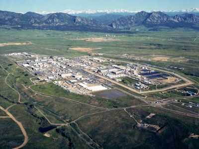
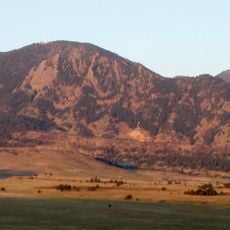
Rocky Flats Plant

Log in to your account

Start exploring — it's free

Trusted by 85,860 travelers worldwide

Continue with Google
Continue with Apple
or

We will send you a code to connect

By continuing, you accept our Terms and Conditions and our Privacy Policy

Check your inbox

We've sent a pincode in your inbox. Please enter the code below.

Discussion Reviews 1 Photos
76.6k Popularity

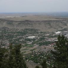
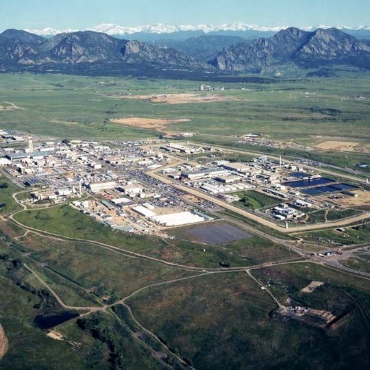
Rocky Flats Plant, Nuclear weapons manufacturing facility in Jefferson County, Colorado, US

Rocky Flats Plant was a facility for manufacturing nuclear weapon components in Jefferson County near Denver, covering roughly 10 square miles (26 square kilometers). The site consisted of multiple secured production buildings and administrative complexes surrounded by buffer zones and access roads.

The facility began operations in 1952 and manufactured components for atomic weapons throughout four decades of the Cold War. A federal raid in 1989 led to closure in 1992 due to environmental violations and subsequent decommissioning of the entire site.

The plant represents a period of nuclear armament production that influenced local community perspectives on industrial safety and environmental responsibility.

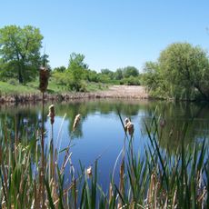
The former industrial site now functions as a wildlife refuge offering trails for visitors interested in land reclamation. Access follows designated routes with information panels about environmental restoration and animal habitats.

After closure, complete decontamination and decommissioning took over two decades until 2005. The cleaned land then transformed into a protected area for prairie dogs, bison, and birds of prey.

The community of curious travelers

AroundUs brings together thousands of curated places, local tips, and hidden gems, enriched daily by 60,000 contributors worldwide.
Start exploring
Location
Inception
1952
GPS coordinates
39.88990,-105.20400
Latest update
August 30, 2026 10:25
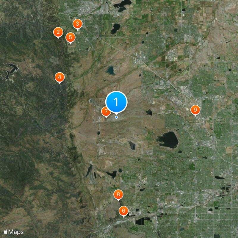
Around this place
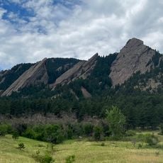
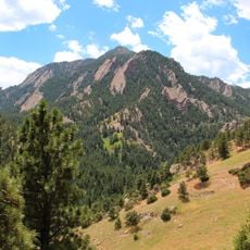
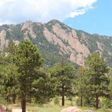
Flatirons
United States of America

Flatirons

8.1 mi
NIST-F1
United States of America

NIST-F1

7.9 mi
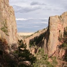
Eldorado Canyon State Park
United States of America

Eldorado Canyon State Park

6 mi
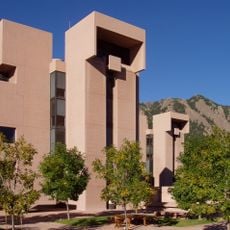
Mesa Laboratory
United States of America

Mesa Laboratory

7.2 mi
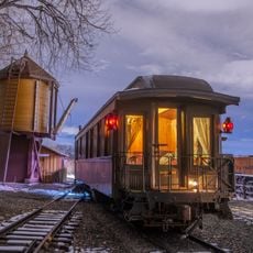
Colorado Railroad Museum
United States of America

Colorado Railroad Museum

8.2 mi
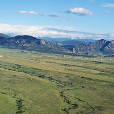
Rocky Flats National Wildlife Refuge
United States of America

Rocky Flats National Wildlife Refuge

0.8 mi
North Table Mountain
United States of America

North Table Mountain

6.8 mi
Frightmare Compound
United States of America

Frightmare Compound

6.5 mi
Bear Peak
United States of America

Bear Peak

6.9 mi
Two Ponds National Wildlife Refuge
United States of America

Two Ponds National Wildlife Refuge

6.3 mi
Butterfly Pavilion
United States of America

Butterfly Pavilion

7.3 mi
Green Mountain
United States of America

Green Mountain

8.2 mi
Colorado Shakespeare Festival
United States of America

Colorado Shakespeare Festival

8.7 mi
Chautauqua Auditorium
United States of America

Chautauqua Auditorium

8.5 mi
Eldorado Mountain
United States of America

Eldorado Mountain

5.1 mi
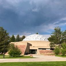
Fiske Planetarium
United States of America

Fiske Planetarium

8.5 mi
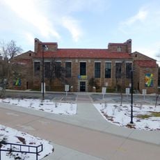
University of Colorado Museum of Natural History
United States of America

University of Colorado Museum of Natural History

8.9 mi
Walker Ranch
United States of America

Walker Ranch

8.2 mi
Fairview High School
United States of America

Fairview High School

6.1 mi
Pioneer Sod House
United States of America

Pioneer Sod House

8.6 mi
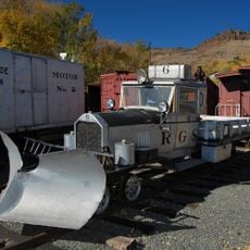
Rio Grande Southern Railroad, Motor No. 2
United States of America

Rio Grande Southern Railroad, Motor No. 2

8.2 mi
Rio Grande Southern Railroad, Motor No. 6
United States of America

Rio Grande Southern Railroad, Motor No. 6

8.2 mi
Urban Air Trampoline and Adventure Park
United States of America

Urban Air Trampoline and Adventure Park

7.1 mi
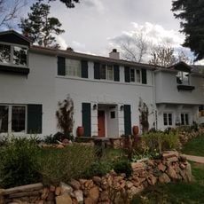
Allen House
United States of America

Allen House

8.3 mi
Bay Aquatic Park
United States of America

Bay Aquatic Park

7.6 mi
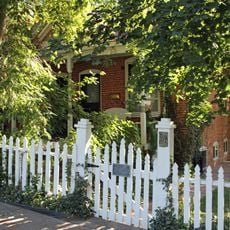
Ginacci House
United States of America

Ginacci House

7.4 mi
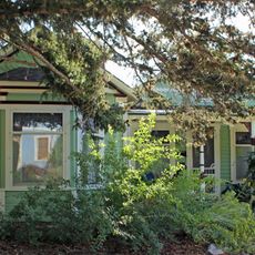
Rhoades House
United States of America

Rhoades House

7.2 mi
Fox Stone Barn
United States of America

Fox Stone Barn

5.5 mi
Show the full map
Reviews
Share your experience

No review yet

Discussions
Start a discussion...

No discussion yet

« Rocky Flats Plant - Nuclear weapons manufacturing facility in Jefferson County, Colorado, US » is provided by Around Us (aroundus.com). Images and texts are derived from Wikimedia project under a Creative Commons license. You are allowed to copy, distribute, and modify copies of this page, under the conditions set by the license, as long as this note is clearly visible.

Discover hidden gems everywhere you go!

From secret cafés to breathtaking viewpoints, skip the crowded tourist spots and find places that match your style. Our app makes it easy with voice search, smart filtering, route optimization, and insider tips from travelers worldwide. Download now for the complete mobile experience.
Around Us App Screenshot

A unique approach to discovering new places

Le Figaro

All the places worth exploring

France Info

A tailor-made excursion in just a few clicks

20 Minutes

Around Us
Travel Guide & Maps
Download

Send to your phone

QR Code
1

Open the camera app on your mobile.

2

Point at the QR code with your camera. A notification will appear.

3

Tap the notification to open the link.