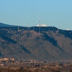
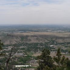
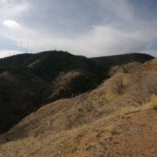
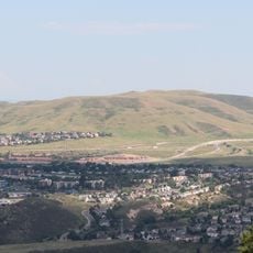
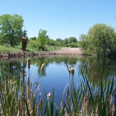
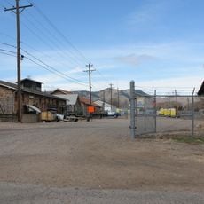
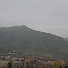
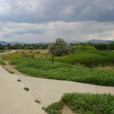
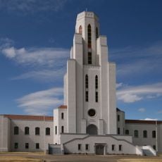
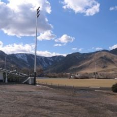
North Table Mountain, Summit and mountain in Golden, Colorado, US.
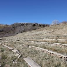
North Table Mountain is a mesa on the eastern flank of the Front Range, 3.4 miles north by east of downtown Golden, Colorado. Its nearly flat cap, at 6,555 feet (1,998 m), was formed by Paleocene lava flows. Three columnar-jointed lava flows are visible: one partway up the northwest slope and two forming the cap.
The mountain formed through volcanic eruptions roughly 60 million years ago, when lava flows created the structure visible today. This volcanic activity shaped the landscape around Golden and the Rocky Mountains' Front Range.
North Table Mountain takes its name from the flat lava cap that early settlers compared to a table. The mesa lies within North Table Mountain Park, managed by Jefferson County Open Space, and the summit offers views over Golden and Clear Creek. Zeolite minerals from the lava flows, including analcime and thomsonite, are displayed at the Mines Museum of Earth Science nearby.
The western trailhead provides access to hiking trails for different ability levels and fitness levels. The area closes seasonally during early months of the year to protect nesting birds and ground-dwelling wildlife.
The Ralston Dike, an intrusive monzonite body about 2 miles (3.2 km) northwest, probably marks the volcanic vent that fed the lava flows. Radiometric dating puts the flows at 62 to 64 million years old, in the early Paleocene. Zeolites such as analcime, thomsonite and chabazite fill vesicles in the second flow; specimens are displayed at the Mines Museum of Earth Science.
The community of curious travelers
AroundUs brings together thousands of curated places, local tips, and hidden gems, enriched daily by 93,856 contributors worldwide.