Enable Location

We need your location to show you interesting places around you

Discover nearby places

Find interesting locations and hidden gems around you

Precise directions

Get accurate directions and distances to places

Your location is never shared with other users. It's only used when you tap the location button.

Rio Grande County

Log in to your account

Start exploring — it's free

Trusted by 62,177 travelers worldwide

Continue with Google
Continue with Apple
or

We will send you a code to connect

By continuing, you accept our Terms and Conditions and our Privacy Policy

Check your inbox

We've sent a pincode in your inbox. Please enter the code below.

Rio Grande County, Administrative county in Colorado, United States

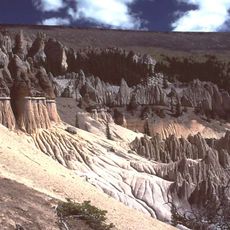
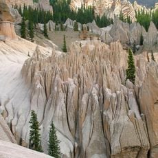
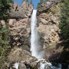
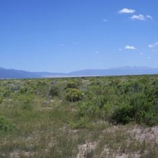
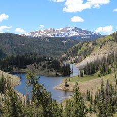
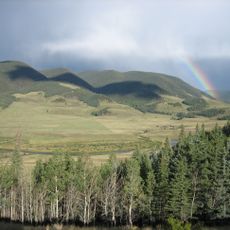
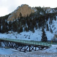
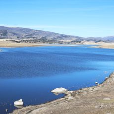
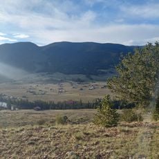
Rio Grande County stretches across central Colorado with two main population centers and numerous smaller towns spread throughout. The landscape mixes plateaus, river valleys, and farmland alongside natural areas.

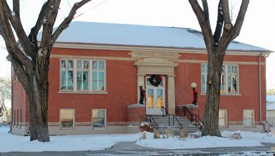
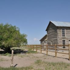
The county was established in 1874 during Colorado's territorial expansion and settlement period. Early growth depended on farming and small-scale mining operations that shaped community life.

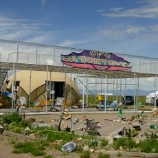
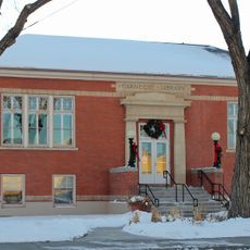
The communities here preserve their farming roots through local events and family gatherings in town centers. Visitors can observe these traditions during seasonal celebrations throughout the year.

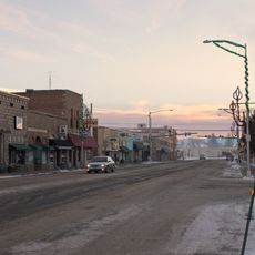
The area operates on Mountain Time and visitors should know that services in smaller towns are limited compared to cities. Most facilities and amenities cluster in the two main towns, so planning ahead helps.

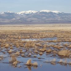
A wildlife refuge within the county hosts thousands of sandhill cranes during their annual migration. This seasonal gathering draws birdwatchers and nature enthusiasts to witness the event.

The community of curious travelers

AroundUs brings together thousands of curated places, local tips, and hidden gems, enriched daily by 60,000 contributors worldwide.

Start exploring
Location
Inception
1874
Capital city
Del Norte
Shares border with
Saguache County, Alamosa County, Conejos County, Archuleta County, Mineral County
GPS coordinates
37.61000,-106.39000
Latest update
December 7, 2025 20:41
Around this place
La Garita Caldera
United States of America

La Garita Caldera

50.6 km
Fish Canyon Tuff
United States of America

Fish Canyon Tuff

50.6 km
Rio Grande Scenic Railroad
United States of America

Rio Grande Scenic Railroad

49 km
Wheeler Geologic Area
United States of America

Wheeler Geologic Area

46.2 km
UFO Watchtower
United States of America

UFO Watchtower

48.6 km
Treasure Falls, Colorado
United States of America

Treasure Falls, Colorado

46.6 km
Baca National Wildlife Refuge
United States of America

Baca National Wildlife Refuge

59.3 km
Monte Vista National Wildlife Refuge
United States of America

Monte Vista National Wildlife Refuge

29.8 km
Alamosa National Wildlife Refuge
United States of America

Alamosa National Wildlife Refuge

58.8 km
Conejos Peak
United States of America

Conejos Peak

39.2 km
United States of America

Bennett Peak

14.6 km
D&RGW 169
United States of America

D&RGW 169

49.2 km
San Luis Valley Conservation Area
United States of America

San Luis Valley Conservation Area

34.1 km
Terrace Reservoir
United States of America

Terrace Reservoir

28.8 km
St. Thomas Episcopal Church
United States of America

St. Thomas Episcopal Church

48.8 km
Trujillo Homestead
United States of America

Trujillo Homestead

59.3 km
Capilla de San Juan Bautista
United States of America

Capilla de San Juan Bautista

28.7 km
Sevenmile Bridge
United States of America

Sevenmile Bridge

55.9 km
First Baptist Church of Moffat
United States of America

First Baptist Church of Moffat

60.7 km
American National Bank Building
United States of America

American National Bank Building

49 km
Carnegie Library
United States of America

Carnegie Library

21.9 km
Alamosa County Courthouse
United States of America

Alamosa County Courthouse

48.7 km
Monte Vista Downtown Historic District
United States of America

Monte Vista Downtown Historic District

21.6 km
Husung Hardware
United States of America

Husung Hardware

48.9 km
La Jara Reservoir
United States of America

La Jara Reservoir

38.3 km
Kid Gulch
United States of America

Kid Gulch

57.1 km
Sutherland Bridge
United States of America

Sutherland Bridge

10.2 km
Wheeler Bridge
United States of America

Wheeler Bridge

10.4 km
Show the full map
« Rio Grande County - Administrative county in Colorado, United States » is provided by Around Us (aroundus.com). Images and texts are derived from Wikimedia project under a Creative Commons license. You are allowed to copy, distribute, and modify copies of this page, under the conditions set by the license, as long as this note is clearly visible.

Discover hidden gems everywhere you go!

From secret cafés to breathtaking viewpoints, skip the crowded tourist spots and find places that match your style. Our app makes it easy with voice search, smart filtering, route optimization, and insider tips from travelers worldwide. Download now for the complete mobile experience.

Around Us App Screenshot

A unique approach to discovering new places

Le Figaro

All the places worth exploring

France Info

A tailor-made excursion in just a few clicks

20 Minutes

Around Us
Travel Guide & Maps
Download

Send to your phone

QR Code
1

Open the camera app on your mobile.

2

Point at the QR code with your camera. A notification will appear.

3

Tap the notification to open the link.