Enable Location

We need your location to show you interesting places around you

Discover nearby places

Find interesting locations and hidden gems around you

Precise directions

Get accurate directions and distances to places

Your location is never shared with other users. It's only used when you tap the location button.

Baca County

Log in to your account

Start exploring — it's free

Trusted by 62,177 travelers worldwide

Continue with Google
Continue with Apple
or

We will send you a code to connect

By continuing, you accept our Terms and Conditions and our Privacy Policy

Check your inbox

We've sent a pincode in your inbox. Please enter the code below.

Baca County

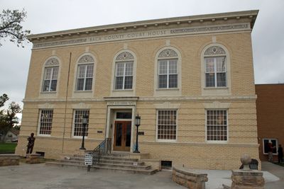
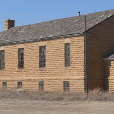
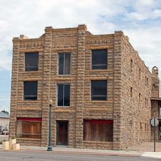
Baca County, County in southeastern Colorado, US

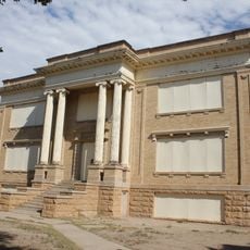
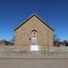
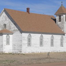
Baca County is a county in southeastern Colorado sharing borders with Kansas, New Mexico, and Oklahoma. The area contains wide open spaces with several small communities, including Springfield as the county seat, plus Campo, Pritchett, Two Buttes, Vilas, and Walsh.

Colorado established Baca County in April 1889, carved from eastern portions of Las Animas County. The county was named after Felipe Baca, a pioneer settler in the region.

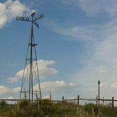
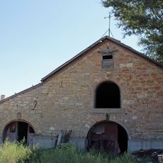
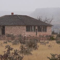
Agriculture shapes daily life, with farming families maintaining traditional practices while adopting modern techniques. This connection to the land runs through the community's work and how people spend their time here.

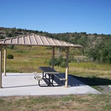
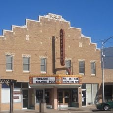
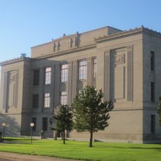
Springfield serves as the main hub for services and facilities in the county. The area is best explored by car, as distances between communities are significant and outdoor spaces reward those willing to venture into the open landscape.

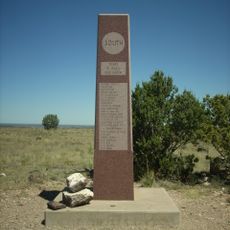
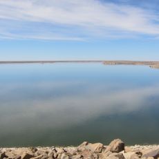
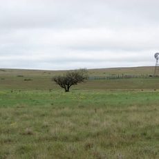
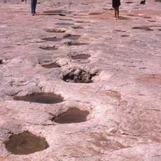
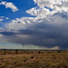
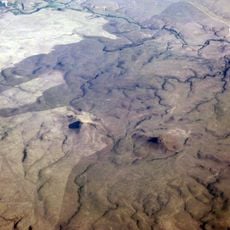
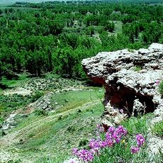
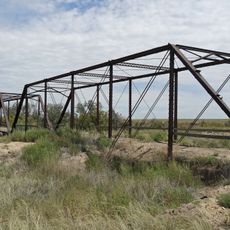
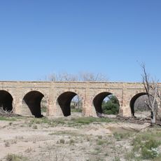
The U.S. Forest Service manages extensive Comanche National Grassland within the county, encompassing thousands of acres of protected grassland. This landscape offers visitors a chance to see native grasses, wildlife, and geological formations rarely encountered elsewhere.

The community of curious travelers

AroundUs brings together thousands of curated places, local tips, and hidden gems, enriched daily by 60,000 contributors worldwide.

Start exploring
Location
Inception
April 16, 1889
Capital city
Springfield
Shares border with
Prowers County, Stanton County, Morton County, Cimarron County, Union County, Las Animas County, Bent County
GPS coordinates
37.32000,-102.56000
Latest update
December 14, 2025 20:26
Around this place
Black Mesa
United States of America

Black Mesa

74.6 km
Fort Lyon
United States of America

Fort Lyon

97.9 km
John Martin Reservoir
United States of America

John Martin Reservoir

90 km
Rita Blanca National Grassland
United States of America

Rita Blanca National Grassland

98.7 km
Purgatoire River track site
United States of America

Purgatoire River track site

97.5 km
Black Mesa State Park
United States of America

Black Mesa State Park

59.9 km
John Martin Reservoir State Park
United States of America

John Martin Reservoir State Park

90.1 km
Rabbit Ears
United States of America

Rabbit Ears

100.3 km
Clayton Lake State Park
United States of America

Clayton Lake State Park

105.9 km
Picture Canyon
United States of America

Picture Canyon

38.4 km
Texhomex
United States of America

Texhomex

99.3 km
8 Mile Corner
United States of America

8 Mile Corner

58.6 km
Cimarron County Courthouse
United States of America

Cimarron County Courthouse

65.8 km
Bent County High School
United States of America

Bent County High School

101.9 km
Point of Rocks
United States of America

Point of Rocks

60.1 km
Northrup Theater
United States of America

Northrup Theater

102.7 km
Springfield Schoolhouse
United States of America

Springfield Schoolhouse

11 km
Stonington First Methodist-Episcopal Church
United States of America

Stonington First Methodist-Episcopal Church

33.1 km
Prowers Bridge
United States of America

Prowers Bridge

88 km
Prowers County Courthouse
United States of America

Prowers County Courthouse

85.5 km
Morton County WPA Bridge
United States of America

Morton County WPA Bridge

58.6 km
Holly SS Ranch Barn
United States of America

Holly SS Ranch Barn

89.8 km
Goodson Memorial School
United States of America

Goodson Memorial School

64.9 km
Douglas Crossing Bridge
United States of America

Douglas Crossing Bridge

59.3 km
Granada Bridge
United States of America

Granada Bridge

88.9 km
Menno Community Hall
United States of America

Menno Community Hall

102.5 km
Davies Hotel
United States of America

Davies Hotel

86 km
Lamar Theatre
United States of America

Lamar Theatre

85.6 km
Show the full map
« Baca County - County in southeastern Colorado, US » is provided by Around Us (aroundus.com). Images and texts are derived from Wikimedia project under a Creative Commons license. You are allowed to copy, distribute, and modify copies of this page, under the conditions set by the license, as long as this note is clearly visible.

Discover hidden gems everywhere you go!

From secret cafés to breathtaking viewpoints, skip the crowded tourist spots and find places that match your style. Our app makes it easy with voice search, smart filtering, route optimization, and insider tips from travelers worldwide. Download now for the complete mobile experience.

Around Us App Screenshot

A unique approach to discovering new places

Le Figaro

All the places worth exploring

France Info

A tailor-made excursion in just a few clicks

20 Minutes

Around Us
Travel Guide & Maps
Download

Send to your phone

QR Code
1

Open the camera app on your mobile.

2

Point at the QR code with your camera. A notification will appear.

3

Tap the notification to open the link.