Enable Location

We need your location to show you interesting places around you

Discover nearby places

Find interesting locations and hidden gems around you

Precise directions

Get accurate directions and distances to places

Your location is never shared with other users. It's only used when you tap the location button.

Custer County

Log in to your account

Start exploring — it's free

Trusted by 61,496 travelers worldwide

Continue with Google
Continue with Apple
or

We will send you a code to connect

By continuing, you accept our Terms and Conditions and our Privacy Policy

Check your inbox

We've sent a pincode in your inbox. Please enter the code below.

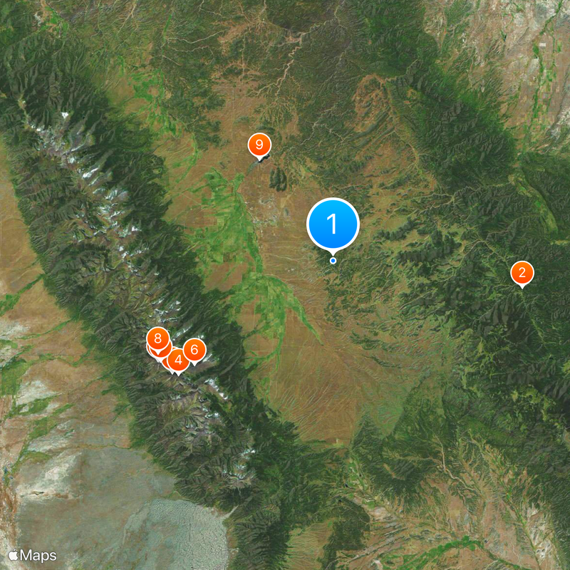
Custer County, County administrative division in Colorado, United States.

Description

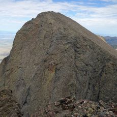
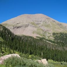
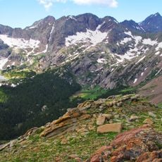
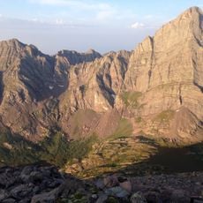
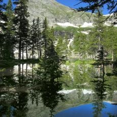
Custer County is an administrative division in south-central Colorado with mountainous terrain and valleys rising between roughly 6,000 and 14,000 feet in elevation. The landscape includes steep mountain slopes, forested areas, and open valleys spread across its territory.

History

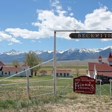
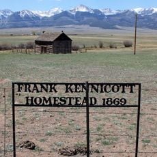
The county was established in 1877 and named after General George Armstrong Custer. It grew through mining, ranching, and farming activities that shaped settlement patterns throughout the 1800s.

Culture

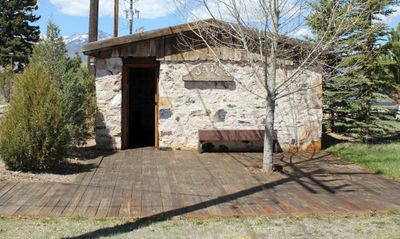
The art gallery in Westcliffe's courthouse building displays work by regional artists and changes its exhibitions seasonally. Visitors can see how local creative traditions continue to shape community spaces today.

Practical

Visitors can stop at the County Administration Office in Westcliffe to get information and permits for outdoor activities in the area. The office is located centrally and open during standard business hours.

Did you know?

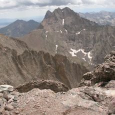
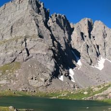
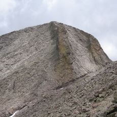
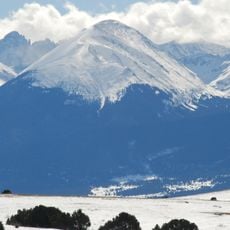
The Sangre de Cristo Mountains form a dramatic natural border along the region, creating a visible edge between this county and neighboring areas. Few visitors realize these peaks also define the western horizon that dominates views throughout the territory.

Location
Inception
March 9, 1877
Capital city
Westcliffe
Shares border with
Fremont County, Pueblo County, Huerfano County, Saguache County
GPS coordinates
38.09000,-105.36000
Latest update
December 20, 2025 14:54

AroundUs brings together thousands of curated places, local tips, and hidden gems, enriched daily by 60,000 contributors worldwide. Discover all places nearby (Colorado).

« Custer County - County administrative division in Colorado, United States » is provided by Around Us (aroundus.com). Images and texts are derived from Wikimedia project under a Creative Commons license. You are allowed to copy, distribute, and modify copies of this page, under the conditions set by the license, as long as this note is clearly visible.

Discover hidden gems everywhere you go!

From secret cafés to breathtaking viewpoints, skip the crowded tourist spots and find places that match your style. Our app makes it easy with voice search, smart filtering, route optimization, and insider tips from travelers worldwide. Download now for the complete mobile experience.

Around Us App Screenshot

A unique approach to discovering new places

Le Figaro

All the places worth exploring

France Info

A tailor-made excursion in just a few clicks

20 Minutes

Around Us
Travel Guide & Maps
Download

Send to your phone

QR Code
1

Open the camera app on your mobile.

2

Point at the QR code with your camera. A notification will appear.

3

Tap the notification to open the link.