Enable Location

We need your location to show you interesting places around you

Discover nearby places

Find interesting locations and hidden gems around you

Precise directions

Get accurate directions and distances to places

Your location is never shared with other users. It's only used when you tap the location button.

Elbert County

Log in to your account

Start exploring — it's free

Trusted by 62,176 travelers worldwide

Continue with Google
Continue with Apple
or

We will send you a code to connect

By continuing, you accept our Terms and Conditions and our Privacy Policy

Check your inbox

We've sent a pincode in your inbox. Please enter the code below.

Elbert County, County seat in central Colorado, United States.

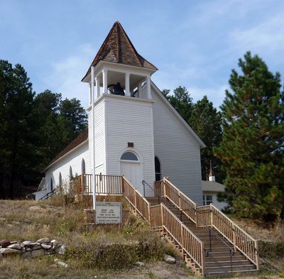
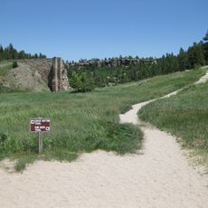
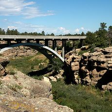
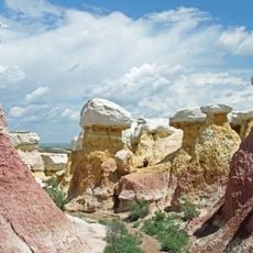
Elbert County is an administrative division in central Colorado with rolling hills and grassland terrain. The landscape supports diverse wildlife and includes several small communities scattered throughout the region.

The county was established in 1874 and named after Samuel Elbert, a territorial governor of Colorado. Its creation reflected the expansion and development of Colorado's central region during that era.

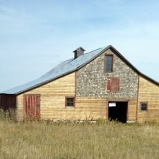
Farming and ranching shape how people live and work across this county today. The open grasslands and agricultural traditions remain central to the local way of life.

The area is rural with significant distances between towns, so plan travel time accordingly. Check weather conditions beforehand, as the region can experience harsh conditions throughout the year.

The county has one of the lowest population densities in the region, with just a handful of people per square kilometer. This sparse settlement means vast stretches of natural landscape remain largely undeveloped.

The community of curious travelers

AroundUs brings together thousands of curated places, local tips, and hidden gems, enriched daily by 60,000 contributors worldwide.

Start exploring
Location
Inception
February 13, 1874
Capital city
Kiowa
Shares border with
Arapahoe County, Lincoln County, El Paso County, Douglas County
GPS coordinates
39.28000,-104.13000
Latest update
December 25, 2025 06:11
Around this place
Castlewood Canyon State Park
United States of America

Castlewood Canyon State Park

52.7 km
Calhan Paint Mines Archeological District
United States of America

Calhan Paint Mines Archeological District

31.1 km
Colorado Piedmont
United States of America

Colorado Piedmont

42.6 km
Cherry Creek Bridge
United States of America

Cherry Creek Bridge

52.3 km
Black Squirrel Creek Bridge
United States of America

Black Squirrel Creek Bridge

45.1 km
St. Mark United Presbyterian Church
United States of America

St. Mark United Presbyterian Church

35.7 km
J.G. Evans Barn
United States of America

J.G. Evans Barn

53.7 km
Rock Island Snow Plow No. 95580
United States of America

Rock Island Snow Plow No. 95580

38.3 km
First Presbyterian Church of Ramah
United States of America

First Presbyterian Church of Ramah

18.1 km
El Paso County Fairgrounds
United States of America

El Paso County Fairgrounds

31.3 km
United States of America

Elbert County Historical Society And Museum

29.5 km
United States of America

Limon Heritage Museum And Railroad Park

38.4 km
Paint Mines Interpretive Park
United States of America

Paint Mines Interpretive Park

31.4 km
United States of America

Limon Watershed L-1 Reservoir

36.7 km
United States of America

Tamarack Golf Course

37.5 km
United States of America

Spring Valley Golf Course

44.5 km
United States of America

Spring Valley Golf Club

44.2 km
United States of America

Antler Creek Golf Course

52.9 km
United States of America

Antler Creek Golf Course

52.9 km
United States of America

Chicago & Rock Island Depot

38.2 km
United States of America

Rendevous Campfire Site

36.3 km
United States of America

Spirit of the Prairie

37.7 km
United States of America

Bell

38.1 km
United States of America

Signal

38.1 km
United States of America

Dinosaur Statue for Gas Station

42.7 km
United States of America

Statue, Work of art

57.3 km
United States of America

Scenic viewpoint

52.5 km
United States of America

Paint Mine Overlook

32 km
Show the full map
« Elbert County - County seat in central Colorado, United States » is provided by Around Us (aroundus.com). Images and texts are derived from Wikimedia project under a Creative Commons license. You are allowed to copy, distribute, and modify copies of this page, under the conditions set by the license, as long as this note is clearly visible.

Discover hidden gems everywhere you go!

From secret cafés to breathtaking viewpoints, skip the crowded tourist spots and find places that match your style. Our app makes it easy with voice search, smart filtering, route optimization, and insider tips from travelers worldwide. Download now for the complete mobile experience.

Around Us App Screenshot

A unique approach to discovering new places

Le Figaro

All the places worth exploring

France Info

A tailor-made excursion in just a few clicks

20 Minutes

Around Us
Travel Guide & Maps
Download

Send to your phone

QR Code
1

Open the camera app on your mobile.

2

Point at the QR code with your camera. A notification will appear.

3

Tap the notification to open the link.