Enable Location

We need your location to show you interesting places around you

Discover nearby places

Find interesting locations and hidden gems around you

Precise directions

Get accurate directions and distances to places

Your location is never shared with other users. It's only used when you tap the location button.

American Discovery Trail

Log in to your account

Start exploring — it's free

Trusted by 62,193 travelers worldwide

Continue with Google
Continue with Apple
or

We will send you a code to connect

By continuing, you accept our Terms and Conditions and our Privacy Policy

Check your inbox

We've sent a pincode in your inbox. Please enter the code below.

American Discovery Trail

American Discovery Trail, Coast-to-coast long-distance trail from Delaware to California, United States.

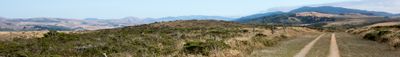
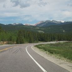
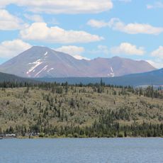
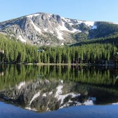
The American Discovery Trail is a long-distance hiking route that runs from the Atlantic coast in Delaware to the Pacific shore in California, covering approximately 6800 miles (10900 kilometers). The route passes through national forests, mountain ranges, farmland, and city neighborhoods across fifteen states.

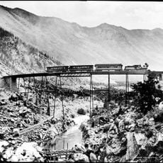
Trail planners completed the full route in the 1990s by linking older footpaths and wagon roads used during westward migration in the 1800s. Some segments follow traces of the Pony Express and stage lines that once carried mail and passengers between frontier towns.

Hikers walk through small towns and rural areas where locals still use parts of old wagon routes for their daily routines. The stretch near the Mississippi River shows how farming communities connect to the waterways that shaped settlement patterns over generations.

The route splits into northern and southern branches near Elizabethtown in Ohio, so hikers can choose the option that suits their interests or season. Most walkers tackle shorter segments rather than the full distance, often starting in spring or fall to avoid extreme weather in desert or mountain sections.

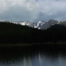
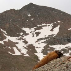
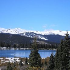
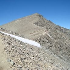
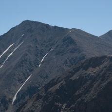
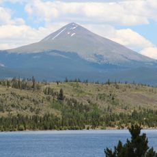
Argentine Pass in Colorado sits at 13207 feet (4023 meters) above sea level, while the California Delta section dips to 17 feet (5 meters) below sea level. This range shows the full sweep of terrain a hiker crosses from alpine tundra to tidal marshes.

The community of curious travelers

AroundUs brings together thousands of curated places, local tips, and hidden gems, enriched daily by 60,000 contributors worldwide.

Start exploring
Location
Location
Location
Location
Location
Location
Location
Location
Location
Location
Location
Location
GPS coordinates
39.62556,-105.78222
Latest update
December 14, 2025 17:44
« American Discovery Trail - Coast-to-coast long-distance trail from Delaware to California, United States » is provided by Around Us (aroundus.com). Images and texts are derived from Wikimedia project under a Creative Commons license. You are allowed to copy, distribute, and modify copies of this page, under the conditions set by the license, as long as this note is clearly visible.

Discover hidden gems everywhere you go!

From secret cafés to breathtaking viewpoints, skip the crowded tourist spots and find places that match your style. Our app makes it easy with voice search, smart filtering, route optimization, and insider tips from travelers worldwide. Download now for the complete mobile experience.

Around Us App Screenshot

A unique approach to discovering new places

Le Figaro

All the places worth exploring

France Info

A tailor-made excursion in just a few clicks

20 Minutes

Around Us
Travel Guide & Maps
Download

Send to your phone

QR Code
1

Open the camera app on your mobile.

2

Point at the QR code with your camera. A notification will appear.

3

Tap the notification to open the link.