Enable Location

We need your location to show you interesting places around you

Discover nearby places

Find interesting locations and hidden gems around you

Precise directions

Get accurate directions and distances to places

Your location is never shared with other users. It's only used when you tap the location button.

Grays Peak Trail

Log in to your account

Start exploring — it's free

Trusted by 63,020 travelers worldwide

Continue with Google
Continue with Apple
or

We will send you a code to connect

By continuing, you accept our Terms and Conditions and our Privacy Policy

Check your inbox

We've sent a pincode in your inbox. Please enter the code below.

Grays Peak Trail
Discussion Reviews 1 Photos
3.1k Popularity

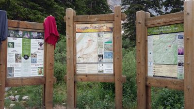
Grays Peak Trail, National Recreation Trail in Clear Creek County, Colorado, US.

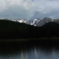
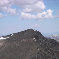
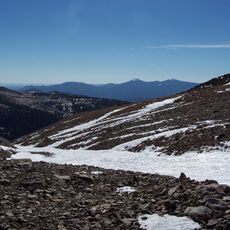
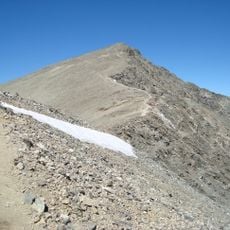
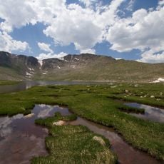
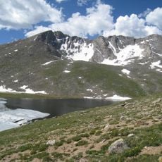
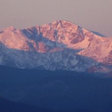
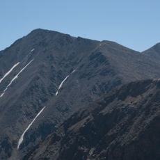
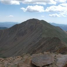
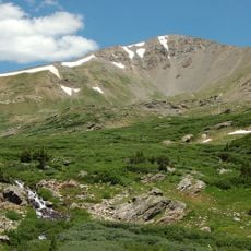
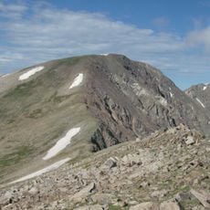
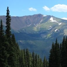
Grays Peak Trail is a hiking route in Clear Creek County that passes through alpine tundra and reaches its endpoint at high elevation terrain. The path crosses rocky ground and offers views of the surrounding high mountain landscape along the way.

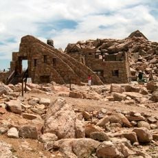
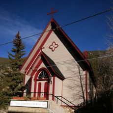
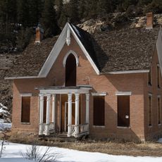
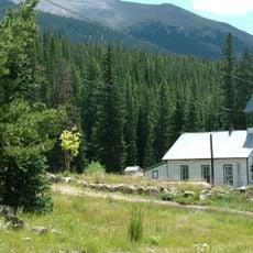
The area was a center of silver mining in the 1800s, with miners operating several mines in the region. These historical remnants still shape the landscape today.

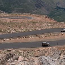
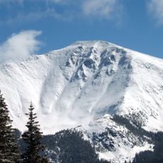
This segment of the Continental Divide serves as a meeting point for mountaineers who gather to climb both Grays Peak and Torreys Peak.

The path can be steep and requires preparation for changing conditions at high altitude. Visitors should start early and watch weather patterns, especially during summer months.

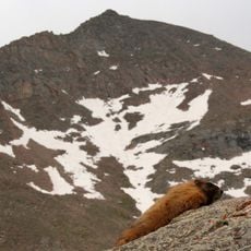
Wild mountain goats, pikas, and marmots live along the path and are adapted to the rocky surroundings. During warmer months, alpine wildflowers bloom across the landscape.

The community of curious travelers

AroundUs brings together thousands of curated places, local tips, and hidden gems, enriched daily by 60,000 contributors worldwide.

Start exploring
GPS coordinates
39.64140,-105.81100
Latest update
December 12, 2025 09:07
Reviews
Share your experience

No review yet

Discussions
Start a discussion...

No discussion yet

« Grays Peak Trail - National Recreation Trail in Clear Creek County, Colorado, US » is provided by Around Us (aroundus.com). Images and texts are derived from Wikimedia project under a Creative Commons license. You are allowed to copy, distribute, and modify copies of this page, under the conditions set by the license, as long as this note is clearly visible.

Discover hidden gems everywhere you go!

From secret cafés to breathtaking viewpoints, skip the crowded tourist spots and find places that match your style. Our app makes it easy with voice search, smart filtering, route optimization, and insider tips from travelers worldwide. Download now for the complete mobile experience.

Around Us App Screenshot

A unique approach to discovering new places

Le Figaro

All the places worth exploring

France Info

A tailor-made excursion in just a few clicks

20 Minutes

Around Us
Travel Guide & Maps
Download

Send to your phone

QR Code
1

Open the camera app on your mobile.

2

Point at the QR code with your camera. A notification will appear.

3

Tap the notification to open the link.