Grays Peak

Log in to your account

AroundUs is a community-driven map of interesting places, built by curious explorers like you. It grows with every review, story, and photo you share.
Connect to save your favorite spots, contribute locations, and create personalized routes.
Continue with Google
Continue with Apple
Continue with X
Continue with Facebook
Continue with email
By continuing, you accept our Terms and Conditions and our Privacy Policy
Create an account
Add to collection
Map
Suggest a change
Share

Grays Peak, Mountain summit at Clear Creek County, Colorado, US

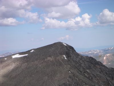
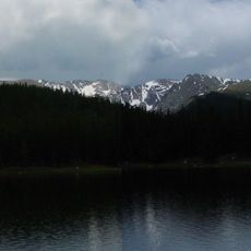
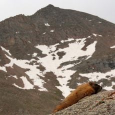
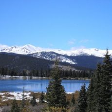
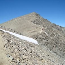
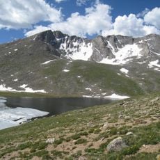
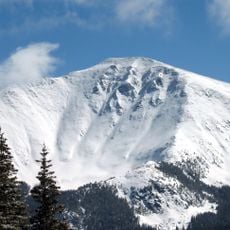
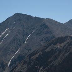
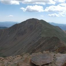
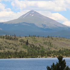
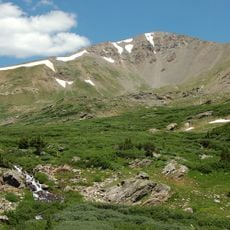
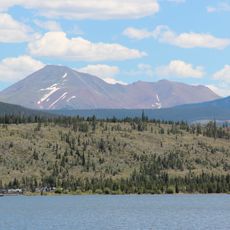
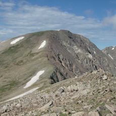
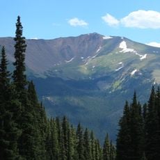
Grays Peak is a mountain summit on the Continental Divide in the Rocky Mountains of Colorado, reaching about 14,270 feet (4,350 m) in elevation. The peak features rocky slopes, alpine tundra, and expansive views across the surrounding high-altitude terrain.

Botanist Charles C. Parry completed the first recorded ascent in 1861 and named the peak after his colleague Asa Gray. This early climb marked the beginning of documented exploration of this high-altitude region.

The Arapaho people called this peak and its neighbor Heeniiyoowuu, meaning Ant Hills in their language. This name reveals how indigenous peoples viewed the twin summits as connected landmarks in their world.

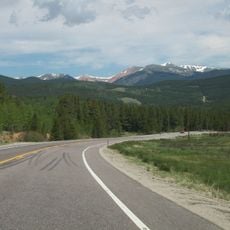
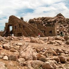
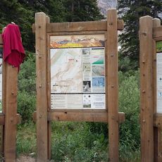
Access to the peak starts from Stevens Gulch where a trail leads to the summit and takes roughly 3.5 miles to complete on foot. A high-clearance vehicle is needed to reach the trailhead parking area along the access road.

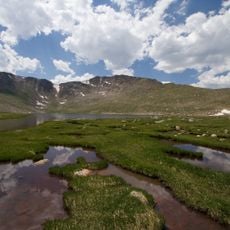
The summit hosts a specialized alpine ecosystem with mountain goats, pikas, and marmots adapted to extreme high-altitude conditions. Specialized wildflowers also bloom across the tundra zones in different seasons, surviving only at such elevations.

Location: Clear Creek County

Location: Summit County

Elevation above the sea: 4,350 m

GPS coordinates: 39.63388,-105.81751

Latest update: December 20, 2025 01:52

Photos
Reviews

Visited this place? Tap the stars to rate it and share your experience / photos with the community! Try now! You can cancel it anytime.

« Grays Peak - Mountain summit at Clear Creek County, Colorado, US » is provided by Around Us (aroundus.com). Images and texts are derived from Wikimedia project under a Creative Commons license. You are allowed to copy, distribute, and modify copies of this page, under the conditions set by the license, as long as this note is clearly visible.

Discover hidden gems everywhere you go!

From secret cafés to breathtaking viewpoints, skip the crowded tourist spots and find places that match your style. Our app makes it easy with voice search, smart filtering, route optimization, and insider tips from travelers worldwide. Download now for the complete mobile experience.

Around Us App Screenshot

A unique approach to discovering new places

Le Figaro

All the places worth exploring

France Info

A tailor-made excursion in just a few clicks

20 Minutes