Argentine Peak, Mountain summit in Colorado, US
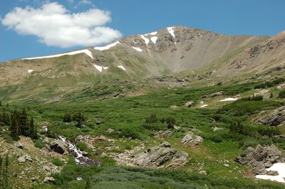
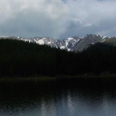
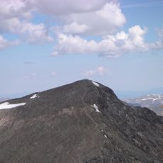
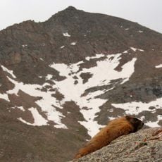
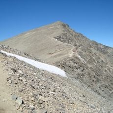
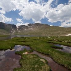
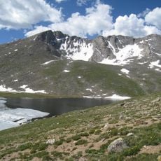
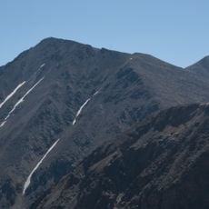
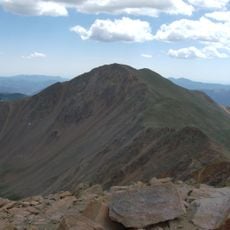
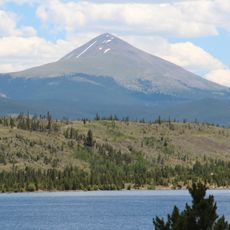
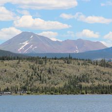
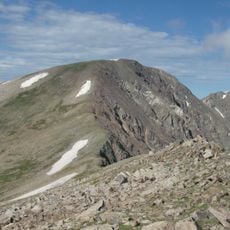
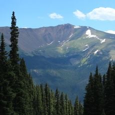
Argentine Peak is a summit in the Rocky Mountains rising to 13,743 feet (4,186 meters) located at the boundary between Clear Creek and Summit counties in Colorado. The mountain's surroundings bear traces of past silver mining operations and historic railroad infrastructure.
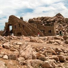
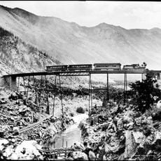
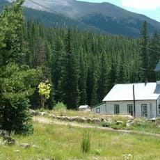
The mountain was named after the Argentine District, Colorado's first major silver mining area, with the name derived from the Latin word argentum meaning silver. The region reached its peak during the silver boom that drove settlement and development.
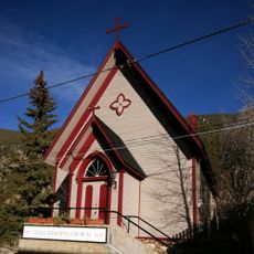
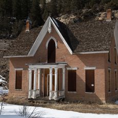
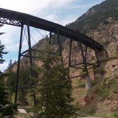
The peak connects to Colorado's mining past, visible in the abandoned mines and old railroad grades scattered across the surrounding landscape. Visitors can explore these remnants and understand how crucial silver mining was to the region's development.
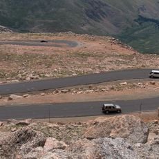
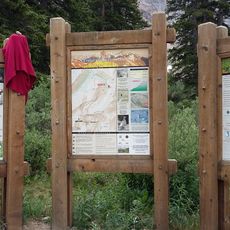
Reaching the summit requires a high-clearance vehicle to handle Leavenworth Creek Road, which features three switchbacks before continuing along the former railroad bed. Visitors should be prepared for rough road conditions and allow extra time for the drive.
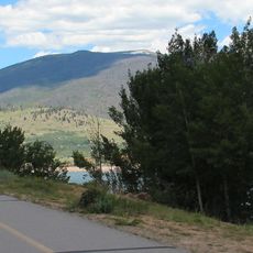
The mountain sits along the Continental Divide, where former mining roads now function as part of the Continental Divide Trail. This integration of historical infrastructure into modern hiking routes creates a unique visitor experience.
The community of curious travelers
AroundUs brings together thousands of curated places, local tips, and hidden gems, enriched daily by 60,000 contributors worldwide.