Mount Edwards, Mountain summit in Colorado, US
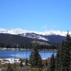
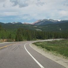
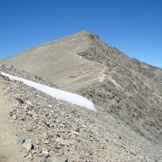
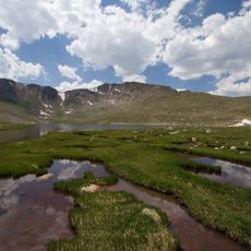
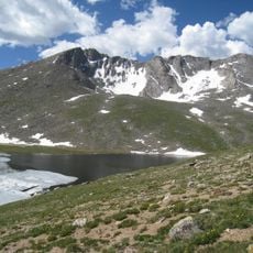
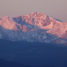
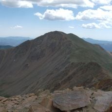
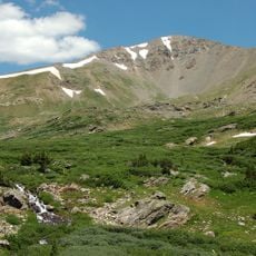
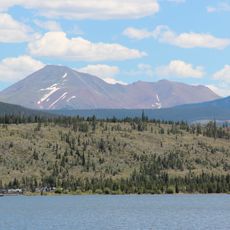
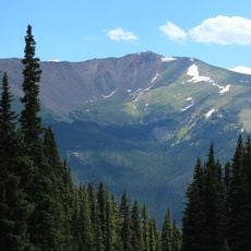
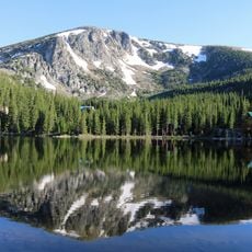
Mount Edwards is a 13,856-foot (4,223 m) thirteener in the Front Range of the Rocky Mountains, on the Continental Divide between Clear Creek and Summit counties. It lies in Arapaho National Forest, 7.6 miles southwest of Georgetown, Colorado.
Mount Edwards lies on the Continental Divide between Clear Creek and Summit counties, 7.6 miles southwest of Georgetown. The 13,856-foot summit stands within Arapaho National Forest. Its position on the divide places it on the boundary of two major Colorado watersheds.
Mount Edwards is one of Colorado's 637 thirteeners, peaks between 13,000 and 13,999 feet, and its 13,856-foot summit lies on the Continental Divide between Clear Creek and Summit counties. Climbers use it as a less crowded alternative to the state's 58 fourteeners, and the summit sits in Arapaho National Forest.
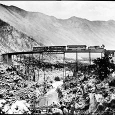
The summit lies on the Continental Divide in Arapaho National Forest, 7.6 miles southwest of Georgetown. Approach from the town via Guanella Pass or the Argentine Central railroad grade; the summit is a thirteener at 13,856 feet, so allow for altitude and changeable weather.
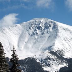
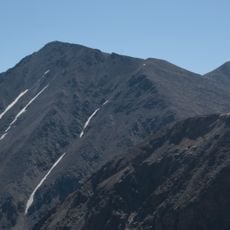
The mountain features a steep snow-filled channel called the Edwardian Couloir that allows winter ascents requiring advanced technical skills. This route is chosen by experienced climbers who prefer specialized mountaineering techniques.
The community of curious travelers
AroundUs brings together thousands of curated places, local tips, and hidden gems, enriched daily by 93,846 contributors worldwide.