Grizzly Peak, Mountain summit in the Front Range, Colorado, United States
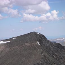
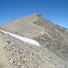
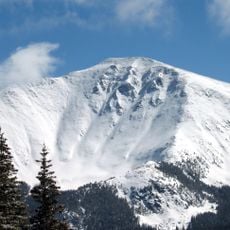
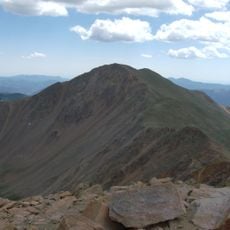
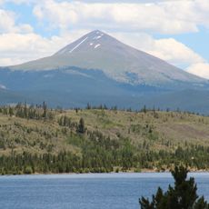
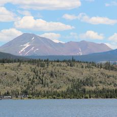
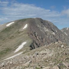
Grizzly Peak is a 13,433-foot (4,094 m) summit on the Continental Divide in the Front Range, within Arapaho National Forest. Also called Grizzly Peak D, it lies 2.1 miles southeast by east of Loveland Pass, on the boundary between Clear Creek and Summit counties, and its nearest higher peak is Torreys Peak.
Grizzly Peak is also known as Grizzly Peak D because four other Grizzly Peaks and one Grizzly Mountain are recorded in Colorado; the Chaffee County peak in the Sawatch Range is the tallest, and this Summit County summit ranks fourth. Its historical names on record are Grizzly Peak and Grizzly Peak D.
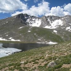
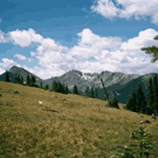
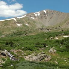
The name Grizzly Peak is shared by several Colorado summits; this one is distinguished as Grizzly Peak D, the fourth-tallest of the group, behind the Chaffee County peak in the Sawatch Range. Hikers on the trail from Loveland Pass pass above the treeline at roughly 12,000 feet, and from the top can look down on Loveland Pass, Chihuahua Lake and the Arapahoe Basin ski trails.
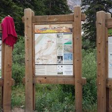
The hiking trail starts at a parking lot on Loveland Pass off U.S. Highway 6, not Highway 82. The trailhead sits above the treeline at about 12,000 feet (3,700 m), and the route to the 13,433-foot summit needs no ropes or extra climbing gear. Mount Sniktau can be reached from the same point.
The summit is also called Grizzly Peak D because Colorado has four other Grizzly Peaks and one Grizzly Mountain on record; the Chaffee County peak in the Sawatch Range is the tallest, while this Summit County summit ranks fourth. From the top, hikers look down on Loveland Pass and across to Chihuahua Lake and the Arapahoe Basin ski trails.
The community of curious travelers
AroundUs brings together thousands of curated places, local tips, and hidden gems, enriched daily by 93,786 contributors worldwide.