Chest opened
+${chestReward.xp} XP
Explorer
NOUVEAU ×${chestReward.collectible.quantity}
tapez pour fermer

See the monuments around you in AR Open chests in the app

Around Us is built for your phone — point your camera at the streets and discover the monuments and places around you in augmented reality. Around Us is built for your phone — chests unlock when you walk, explore and capture nearby places.

•

Enable Location

We need your location to show you interesting places around you

Discover nearby places

Find interesting locations and hidden gems around you

Precise directions

Get accurate directions and distances to places

Your location is never shared with other users. It's only used when you tap the location button.

Merrimac Butte

Log in to your account

Start exploring — it's free

Trusted by 94,409 travelers worldwide

Continue with Google
Continue with Apple
or

We will send you a code to connect

By continuing, you accept our Terms and Conditions and our Privacy Policy

Check your inbox

We've sent a pincode in your inbox. Please enter the code below.

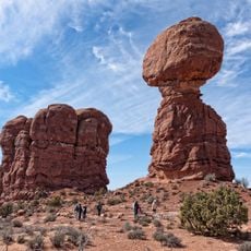
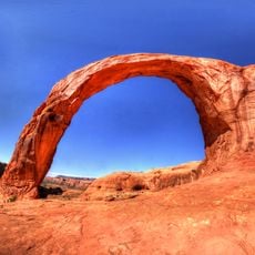
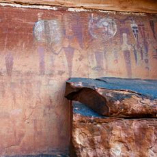
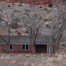
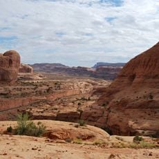
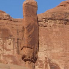
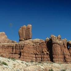
Merrimac Butte, Sandstone butte in Grand County, Utah.

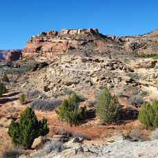
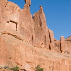
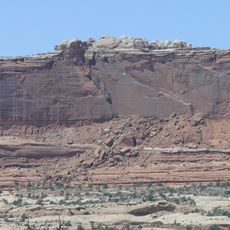
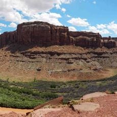
Merrimac Butte is a thin sandstone butte about 12 miles northwest of Moab, measuring 200 to 600 feet wide and 1,600 feet long from east to west. Its 200-foot vertical walls of Entrada Sandstone sit on a base of the Carmel Formation, and the summit reaches 5,627 feet. Monitor Butte stands immediately to its east.

Merrimac Butte and its neighbour Monitor Butte, immediately to the east, were named after the USS Merrimack and the USS Monitor, the two ironclad warships that fought at Hampton Roads in 1862. The first recorded ascent of Merrimac Butte was made on 22 September 1985 by Jimmy Dunn, John Bouchard, Eric Bjornstad and Lin Ottinger via the route Hypercrack on the Anchor Chain.

Merrimac Butte and its neighbour Monitor Butte are named after the USS Merrimack and the USS Monitor, the ironclad warships that fought at Hampton Roads in 1862. The first ascent of Merrimac Butte was made on 22 September 1985 by Jimmy Dunn, John Bouchard, Eric Bjornstad and Lin Ottinger via 'Hypercrack on the Anchor Chain'. Charlie Fowler and Sue Wint added 'Without a Net', the easiest route at class 5.8, in April 1991.

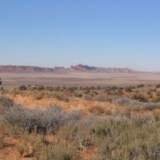
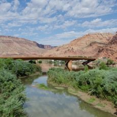
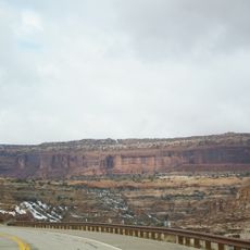
Merrimac and Monitor Buttes are seen from Highway 313 after it climbs out of Sevenmile Canyon, on the road to Island in the Sky in Canyonlands National Park or Dead Horse Point State Park. Spring and fall bring highs of 60 to 80 °F and lows of 30 to 50 °F; summer highs often pass 100 °F, and annual rain stays under 10 inches.

The buttes take their names from the USS Monitor and the CSS Merrimack, the ironclad warships that fought at Hampton Roads in 1862. The first ascent of Merrimac Butte came on September 22, 1985, when Jimmy Dunn, John Bouchard, Eric Bjornstad and Lin Ottinger climbed "Hypercrack on the Anchor Chain". The easiest line, "Without a Net" at class 5.8, was first climbed in April 1991 by Charlie Fowler and Sue Wint.

The community of curious travelers

AroundUs brings together thousands of curated places, local tips, and hidden gems, enriched daily by 94,409 contributors worldwide.

Start exploring
Location
Elevation above the sea
1,708 m
GPS coordinates
38.66331,-109.73540
Latest update
November 4, 2026 02:24
Reviews
Share your experience

No review yet

Discussions
Start a discussion...

No discussion yet

« Merrimac Butte - Sandstone butte in Grand County, Utah » is provided by Around Us (aroundus.com). Images and texts are derived from Wikimedia project under a Creative Commons license. You are allowed to copy, distribute, and modify copies of this page, under the conditions set by the license, as long as this note is clearly visible.

Discover hidden gems everywhere you go!

From secret cafés to breathtaking viewpoints, skip the crowded tourist spots and find places that match your style. Our app makes it easy with voice search, smart filtering, route optimization, and insider tips from travelers worldwide. Download now for the complete mobile experience.

Around Us App Screenshot
❝

A unique approach to discovering new places❞

— Le Figaro

❝

All the places worth exploring❞

— France Info

❝

A tailor-made excursion in just a few clicks❞

— 20 Minutes

Around Us
Travel Guide & Maps
Download

Send to your phone

QR Code
1

Open the camera app on your mobile.

2

Point at the QR code with your camera. A notification will appear.

3

Tap the notification to open the link.