Capitol Reef National Park, National park in south-central Utah, United States.
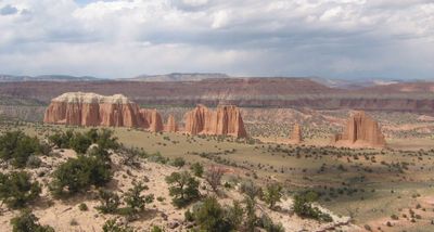
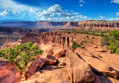
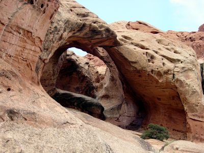
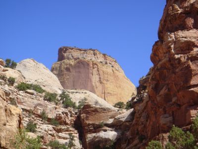
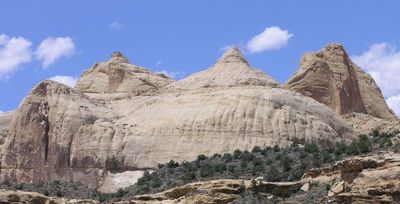
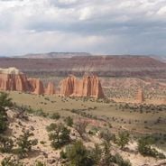
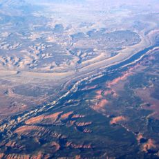
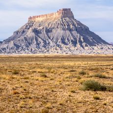
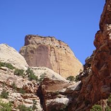
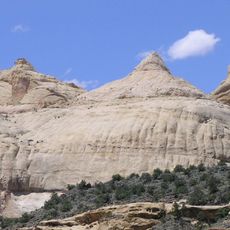
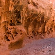
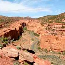
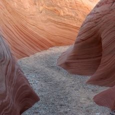
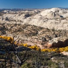
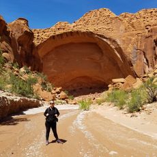
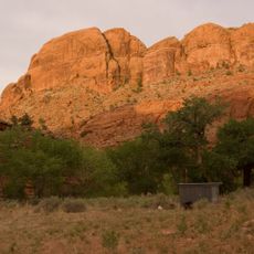
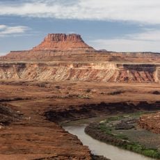
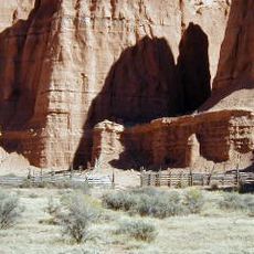
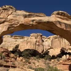
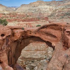
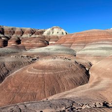
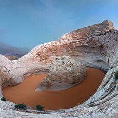
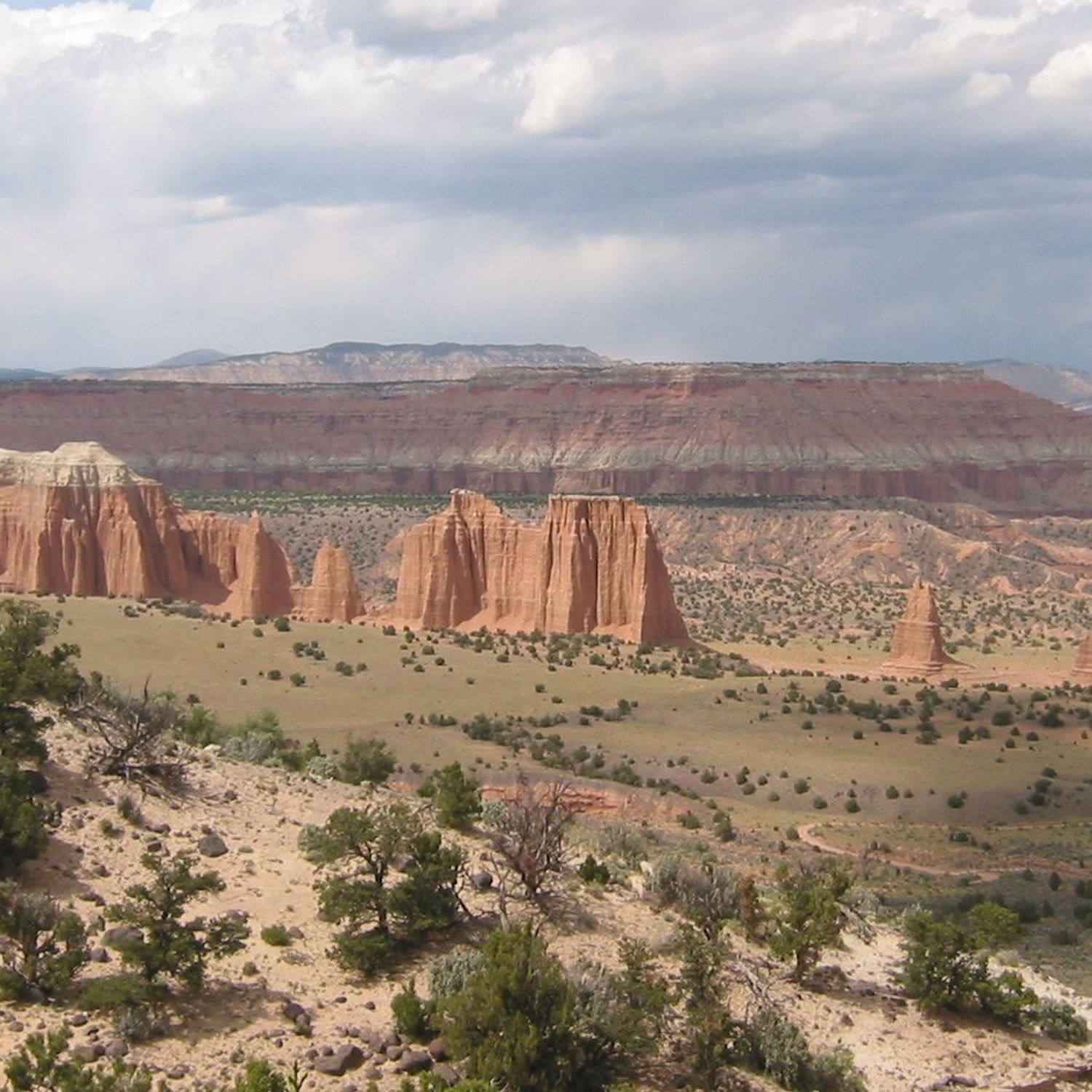
Capitol Reef is a national park in south-central Utah, defined by a 100-mile geological formation of sandstone cliffs, canyons, and domes. The landscape features steep walls, narrow passages, and rounded stone structures, with high plateaus in the north and tight gorges cutting through the rock in the south.
The area became a national monument in 1937 under President Franklin Roosevelt, after locals in the 1920s drew attention to the rock formations. Three decades later, it was designated a full national park with expanded boundaries.
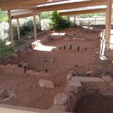
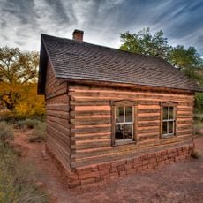
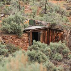
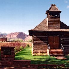
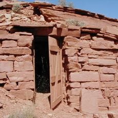
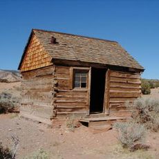
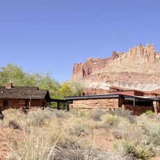
The area takes its name from white sandstone domes that reminded early settlers of the Capitol building in Washington. Walking through the valleys, you can still see rock carvings and grain storage structures left by the Fremont people who lived here for centuries.
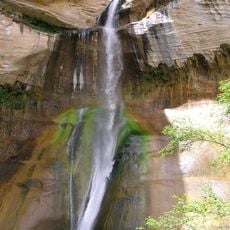
Access follows a road through the central section, with trailheads leading to walks of different lengths. Those exploring remote areas should carry water and check weather conditions, as sudden storms can flood narrow canyons.
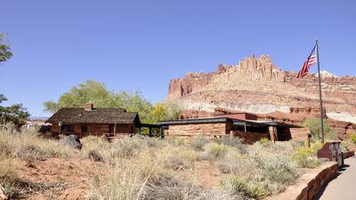
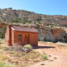
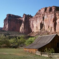
Visitors can pick cherries, peaches, or apples in the historic Fruita orchards from spring through fall, depending on the season. The trees stand where Mormon pioneers planted fields in the 19th century, and you can sample fruit directly from the branch or take larger amounts for a small fee.
The community of curious travelers
AroundUs brings together thousands of curated places, local tips, and hidden gems, enriched daily by 60,000 contributors worldwide.