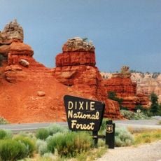
Burr Trail Scenic Backway, scenic backway in Garfield County, Utah, United States
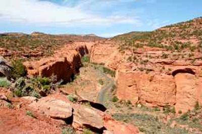
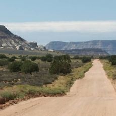
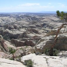
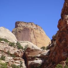
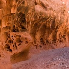
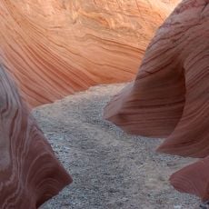
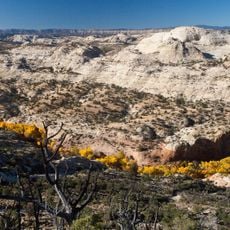
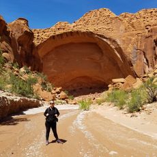
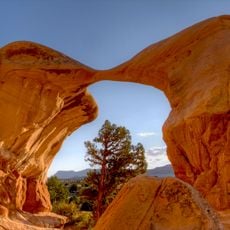
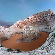
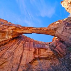
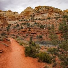
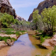
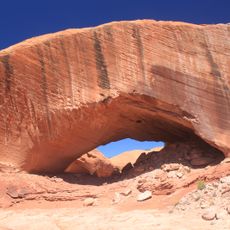
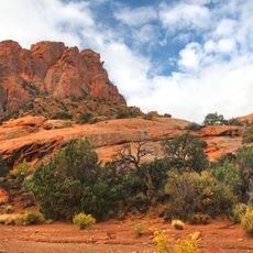
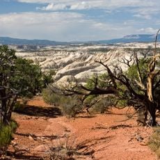
The Burr Trail Scenic Backway is a 67-mile route connecting Boulder with Bullfrog through remote terrain. The drive passes through the Waterpocket Fold, past colorful cliffs, and crosses areas with natural arches and deep canyons shaped by erosion over millions of years.
The route was first used by cattlemen in the late 1800s to move livestock through the region. Over the past decades it transitioned from all-dirt to partially paved, though rough gravel sections remain for most of the journey.
The Burr Trail is named after John Atlantic Burr, a cattle rancher from the area who used this route in the late 1800s. Today the road reflects how people moved livestock through this remote landscape and shaped the region's history.
About 30 miles are paved while the rest is gravel and can become muddy in rain, making travel difficult. Bring plenty of water, check weather conditions beforehand, and let someone know your trip plan since cell service is limited in this remote area.
The most famous section features switchbacks that descend nearly 800 feet in about a mile with sharp hairpin turns cutting down the Waterpocket Fold. This dramatic stretch is what travelers remember most from their drive.
The community of curious travelers
AroundUs brings together thousands of curated places, local tips, and hidden gems, enriched daily by 60,000 contributors worldwide.