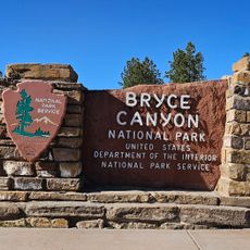
Bryce Canyon National Park, National park in Kane County, Utah, United States.
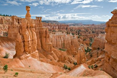
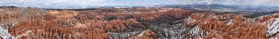
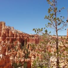
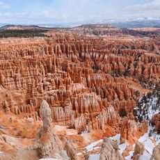
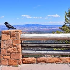
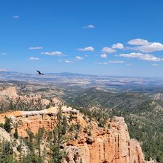
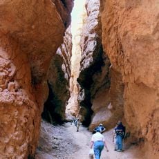
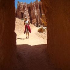
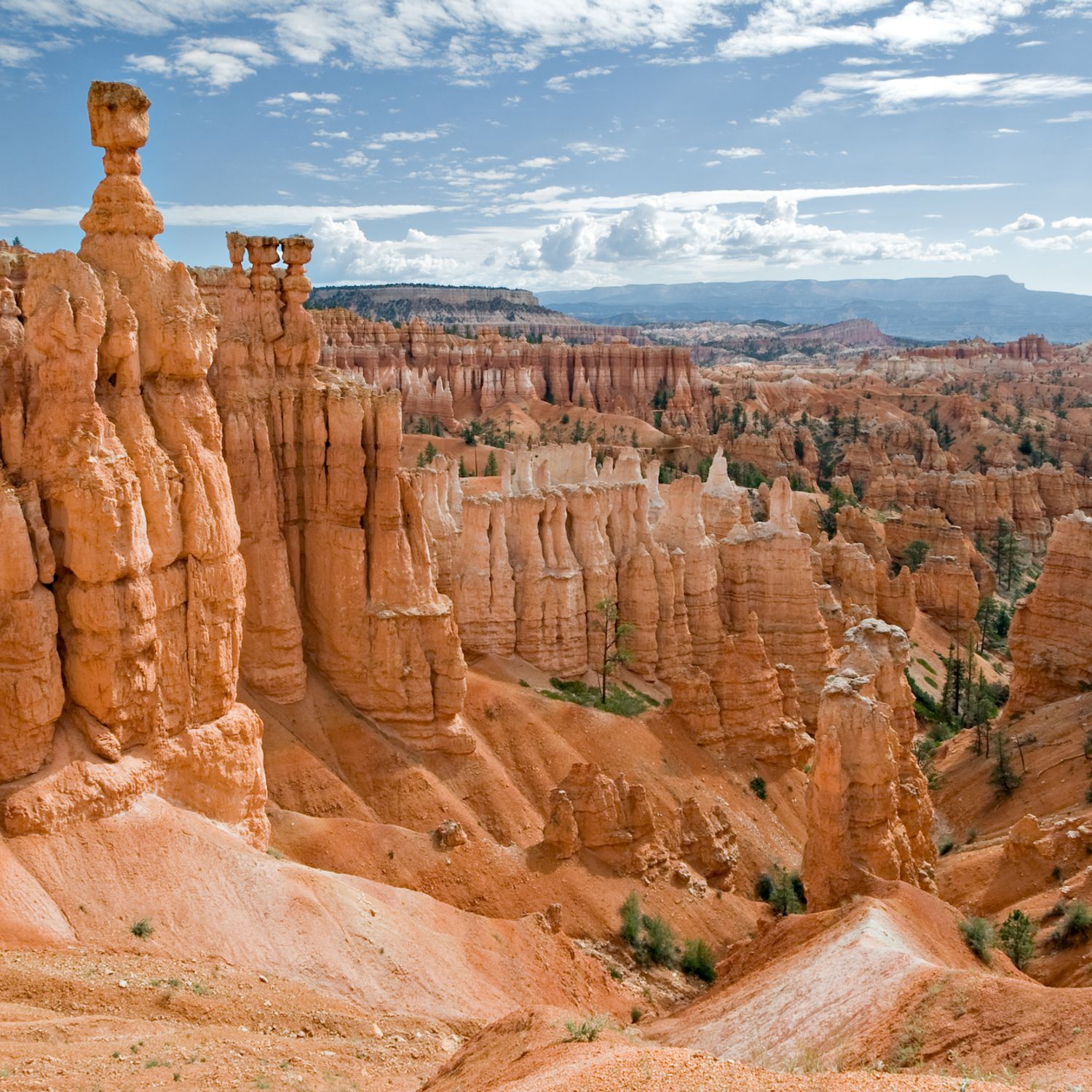
Bryce Canyon National Park is a national park in Kane County, Utah, known for its densely packed limestone pinnacles called hoodoos. The terrain stretches along a series of natural amphitheaters, with the largest formation roughly 12 miles (19 kilometers) long and featuring thousands of pointed spires shaped by frost and water.
Ebenezer Bryce, a Mormon pioneer and carpenter, settled below these cliffs in 1875 and built an irrigation canal for his livestock. The area received monument status in 1923 and was formally declared a national park five years later in 1928.
Former inhabitants, the Paiute, called this area Angka-ku-wass-a-wits, which translates to red rocks standing like people in a bowl-shaped canyon. Visitors today walk trails once used by indigenous groups who gathered plants and hunted game across these plateaus.
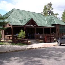
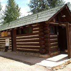
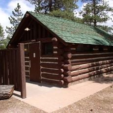
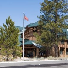
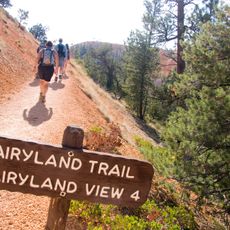
The main entrance sits on Highway 63, roughly half an hour south of Panguitch, while the elevation between 8000 and 9000 feet (2400 to 2700 meters) means hikers should bring clothing for cooler temperatures. A vehicle is useful because viewpoints are spread along a scenic drive, but free shuttles connect several popular trailheads during summer months.
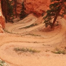
Despite carrying the name canyon, it is not technically a canyon but rather a series of notches along the edge of a high plateau. The extreme elevation causes more than 200 freeze-thaw cycles per year on average, making the rock formations erode faster than in most other areas of the American Southwest.
Location: Kane County
Inception: September 15, 1928
Fee: Yes
Operator: National Park Service
Part of: Mighty Five
Address: Utah, USA
Phone: +14358345322
Website: https://nps.gov/brca
GPS coordinates: 37.64000,-112.17000
Latest update: December 4, 2025 14:20
From the highest peaks to coastal cliffs, this collection brings together geographically significant observation points across all continents. The locations offer views of mountain ranges, waterfalls, deserts, oceans, and notable architectural structures. The selection includes the Great Wall near...
Pink Cliffs
15.9 km
Bryce Canyon National Park Scenic Trails Historic District
2.6 km
Bryce Canyon
3.6 km
Bryce Canyon Lodge Historic District
1.6 km
Rainbow Point Comfort Station and Overlook Shelter
19.3 km
Old Administration Building
1 km
Horse Barn
1.9 km
Old National Park Service Housing Historic District
1.1 km
Bryce Canyon campground comfort stations
656 m
Rainbow Point
19.2 km
Loop C Comfort Station
505 m
Loop D Comfort Station
617 m
Farview Natural Bridge
12.5 km
Tropic Ditch Falls
5.7 km
Bryce Canyon Visitor Center
55 m
Peekaboo Loop Trail
3.2 km
Fairyland Loop Trail
2.4 km
Navajo Loop Trail
2.6 km
Sunset Point Overlook
2 km
Queens Garden Trail
2.4 km
Thor's Hammer
2.1 km
Rim Trail
1.4 km
Silent City
2.2 km
Mather Plaque in Bryce Canyon National Park
32 m
Hat Shop
5.8 km
Sunrise Point
1.4 km
Rainbow Point Overlook
19.8 km
Sunset Point
2 kmVisited this place? Tap the stars to rate it and share your experience / photos with the community! Try now! You can cancel it anytime.
Discover hidden gems everywhere you go!
From secret cafés to breathtaking viewpoints, skip the crowded tourist spots and find places that match your style. Our app makes it easy with voice search, smart filtering, route optimization, and insider tips from travelers worldwide. Download now for the complete mobile experience.
A unique approach to discovering new places❞
— Le Figaro
All the places worth exploring❞
— France Info
A tailor-made excursion in just a few clicks❞
— 20 Minutes