Under-the-Rim Trail, Historic hiking trail in Bryce Canyon National Park, Utah.
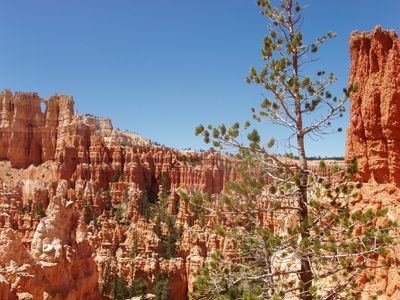
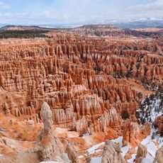
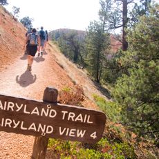
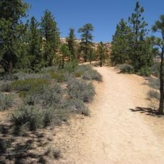
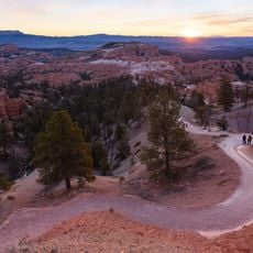
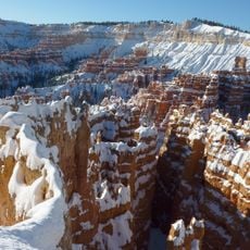
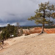
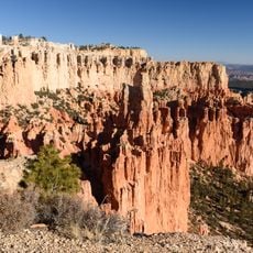
The Under-the-Rim Trail is a hiking path that runs through the valley beneath the cliffs of Bryce Canyon, connecting different sections of the park's interior landscape. The route passes through forested areas and open terrain, with camping areas distributed along the way for backpackers.
The path was constructed in the 1930s by park workers, initially built to provide access to forest areas for fire prevention purposes. Its purpose shifted over time to become a hiking route for visitors.
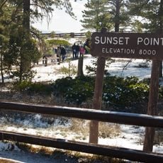
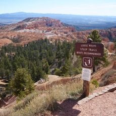
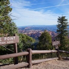
The trail reflects how Bryce Canyon developed as a recreation destination and shows the deliberate design of park pathways for different visitor experiences. Today hikers walk a route that offers a view of the landscape most visitors never see.
The route can be hiked in sections with camping areas, depending on how much distance you want to cover each day. Bring plenty of water and be prepared for elevation changes, especially over longer stretches.
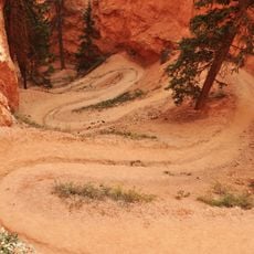
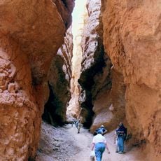
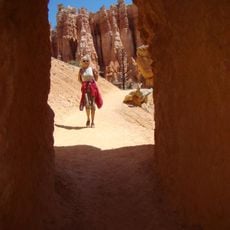
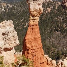
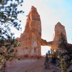
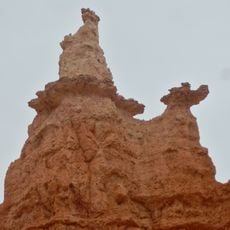
This path is one of the few places where visitors can experience the rock formations from below rather than from above. This viewpoint completely changes how you see the landscape.
The community of curious travelers
AroundUs brings together thousands of curated places, local tips, and hidden gems, enriched daily by 60,000 contributors worldwide.