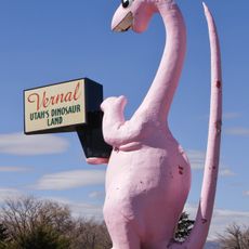
Uintah County, County seat in eastern Utah, United States
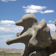
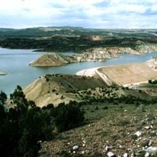
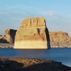
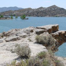
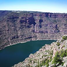
Uintah County spans diverse terrain, with mountainous areas in the north giving way to fertile valleys where Vernal sits. The landscape shifts between high elevations and lower plains, creating varied environments and settlement patterns.
The county was established in 1880 and named after the Ute Indian tribe that long inhabited the Uinta Basin. Early settlement brought new people to land with ancient indigenous roots.
The Ute people have deep roots in this basin and their presence continues to shape the region's everyday life and character. Local traditions and community gatherings reflect this long-standing connection between past and present inhabitants.
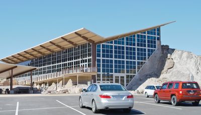
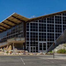
Vernal Regional Airport provides a gateway for travelers arriving in the region. Road networks spread throughout the county, making it manageable to drive between communities and attractions.
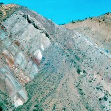
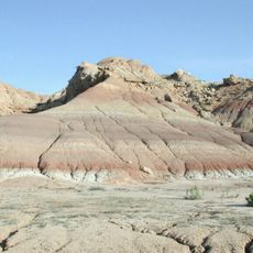
The region holds substantial deposits of natural gas, oil, phosphate, and gilsonite beneath its surface. These underground resources have shaped the local economy and development patterns for generations.
Location: Utah
Inception: 1880
Capital city: Vernal
Shares border with: Daggett County, Moffat County, Rio Blanco County, Garfield County, Grand County, Emery County, Carbon County, Duchesne County, Summit County
Website: http://co.uintah.ut.us
GPS coordinates: 40.13000,-109.52000
Latest update: December 20, 2025 02:16
Skinwalker Ranch
34.4 km
Morrison Formation
39.3 km
Fantasy Canyon
13.5 km
Red Fleet State Park
50.9 km
Lone Rock
69 km
Josie Bassett Morris Ranch Complex
44 km
Steinaker State Park
43.1 km
Quarry Visitor Center
39.2 km
Ouray National Wildlife Refuge
7.6 km
Utah Field House of Natural History State Park Museum
36.2 km
Dinah the Pink Dinosaur
36.3 km
Quarry Exhibit Hall
39.2 km
Utah Field House of Natural History State Park Museum
36.2 kmCarter Road
67.8 km
Earl Douglass Workshop-Laboratory
39.3 km
Lewis Curry House
35 kmFrancis 'Frank' and Eunice Smith House
38.6 km
Manfred and Ethel Martin House
36.5 km
St. Paul's Episcopal Church and Lodge
36.3 km
Gibson-Sowards House
41.4 km
Vernal Tithing Office
36 km
Moonshine Arch
47.5 kmPapoose Lake
85.4 kmJulius Park Reservoir
65 kmBig Canyon Rapids
64.3 kmPoint of Pines Recreation Site
46.7 kmPariette Flood Control Dam
31.2 kmCedar Ridge Rapids
66.6 kmVisited this place? Tap the stars to rate it and share your experience / photos with the community! Try now! You can cancel it anytime.
Discover hidden gems everywhere you go!
From secret cafés to breathtaking viewpoints, skip the crowded tourist spots and find places that match your style. Our app makes it easy with voice search, smart filtering, route optimization, and insider tips from travelers worldwide. Download now for the complete mobile experience.
A unique approach to discovering new places❞
— Le Figaro
All the places worth exploring❞
— France Info
A tailor-made excursion in just a few clicks❞
— 20 Minutes