Enable Location

We need your location to show you interesting places around you

Discover nearby places

Find interesting locations and hidden gems around you

Precise directions

Get accurate directions and distances to places

Your location is never shared with other users. It's only used when you tap the location button.

Wayne County

Log in to your account

Start exploring — it's free

Trusted by 62,829 travelers worldwide

Continue with Google
Continue with Apple
or

We will send you a code to connect

By continuing, you accept our Terms and Conditions and our Privacy Policy

Check your inbox

We've sent a pincode in your inbox. Please enter the code below.

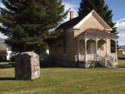
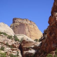
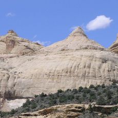
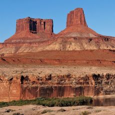
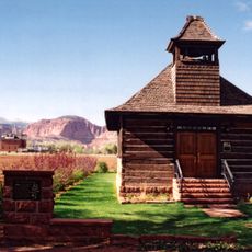
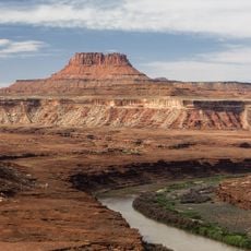
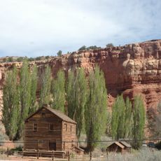
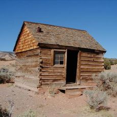
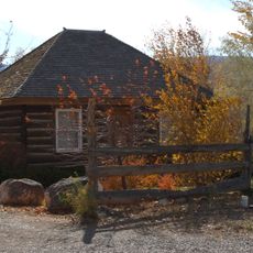
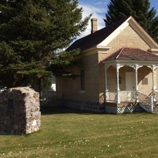
Wayne County, Administrative division in Utah, United States

Wayne County is an administrative division in southeastern Utah that encompasses several communities and rural areas. The county is governed by an elected commission and provides basic public services including law enforcement, road maintenance, and property record management to its residents.

The county was founded in 1892 and was originally part of a larger territory that was later subdivided. Its boundaries were adjusted over time to reflect the administrative structure that exists today.

The county government maintains several public facilities and organizes programs through its commission to address local community needs and development.

Visitors can reach the county administration offices in the county seat for information about public services and facilities. Most government buildings are located in central towns that are accessible by car.

The Wayne County Sheriff's Department implements specialized programs combining law enforcement activities with community engagement initiatives.

The community of curious travelers

AroundUs brings together thousands of curated places, local tips, and hidden gems, enriched daily by 60,000 contributors worldwide.

Start exploring
GPS coordinates
38.30796,-111.12431
Latest update
December 7, 2025 19:29
Around this place
Bluejohn Canyon
United States of America

Bluejohn Canyon

74.3 km
Robbers Roost
United States of America

Robbers Roost

51.4 km
False Kiva
United States of America

False Kiva

106 km
Factory Butte
United States of America

Factory Butte

23.3 km
Canyon Lands
United States of America

Canyon Lands

100.4 km
Golden Throne
United States of America

Golden Throne

11.2 km
Elijah Cutler Behunin Cabin
United States of America

Elijah Cutler Behunin Cabin

4.9 km
Navajo Dome
United States of America

Navajo Dome

9.1 km
Buttes of the Cross
United States of America

Buttes of the Cross

93.7 km
Candlestick Tower
United States of America

Candlestick Tower

104.5 km
Fruita Schoolhouse
United States of America

Fruita Schoolhouse

11 km
Stillwater Canyon
United States of America

Stillwater Canyon

109 km
Hanks' Dugouts
United States of America

Hanks' Dugouts

15.7 km
Fruita Rural Historic District
United States of America

Fruita Rural Historic District

11 km
Torrey Log Church-Schoolhouse
United States of America

Torrey Log Church-Schoolhouse

25.8 km
Elaterite Butte
United States of America

Elaterite Butte

95.5 km
Ekker Butte
United States of America

Ekker Butte

12.7 km
Cathedral Valley Corral
United States of America

Cathedral Valley Corral

27.8 km
Civilian Conservation Corps Powder Magazine
United States of America

Civilian Conservation Corps Powder Magazine

11.6 km
Hans Peter Nielson Gristmill
United States of America

Hans Peter Nielson Gristmill

33.7 km
Lesley Morrell Line Cabin and Corral
United States of America

Lesley Morrell Line Cabin and Corral

28.7 km
Charles W. and Leah Lee House
United States of America

Charles W. and Leah Lee House

26.4 km
Loa Tithing Office
United States of America

Loa Tithing Office

46.5 km
Hickman Natural Bridge
United States of America

Hickman Natural Bridge

9.8 km
Horseshoe Canyon Archeological District
United States of America

Horseshoe Canyon Archeological District

81.5 km
Cassidys Arch
United States of America

Cassidys Arch

10.3 km
Fruita Ranger Station
United States of America

Fruita Ranger Station

12.2 km
Pioneer Register
United States of America

Pioneer Register

11.2 km
Show the full map
« Wayne County - Administrative division in Utah, United States » is provided by Around Us (aroundus.com). Images and texts are derived from Wikimedia project under a Creative Commons license. You are allowed to copy, distribute, and modify copies of this page, under the conditions set by the license, as long as this note is clearly visible.

Discover hidden gems everywhere you go!

From secret cafés to breathtaking viewpoints, skip the crowded tourist spots and find places that match your style. Our app makes it easy with voice search, smart filtering, route optimization, and insider tips from travelers worldwide. Download now for the complete mobile experience.

Around Us App Screenshot

A unique approach to discovering new places

Le Figaro

All the places worth exploring

France Info

A tailor-made excursion in just a few clicks

20 Minutes

Around Us
Travel Guide & Maps
Download

Send to your phone

QR Code
1

Open the camera app on your mobile.

2

Point at the QR code with your camera. A notification will appear.

3

Tap the notification to open the link.