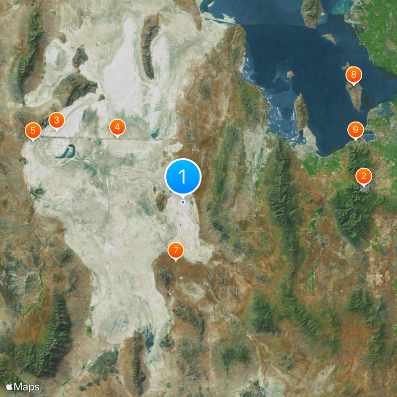
Tooele County, County in western Utah, US
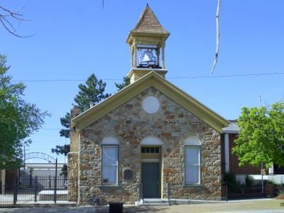
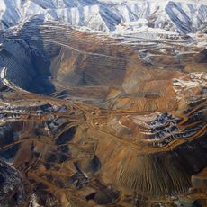
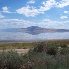
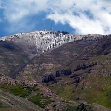
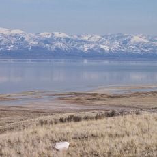
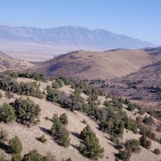
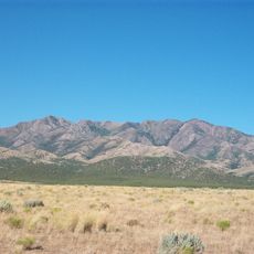
Tooele County is an administrative area in western Utah that stretches across terrain shaped by three mountain ranges: the Oquirrh, Stansbury, and Cedar Mountains divide the land into separate valleys. The region mixes towns and settlements with large open spaces where mountains and flatlands create a varied landscape.
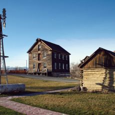
This area was established as a county in 1852 after Mormon settlers moved into land originally home to the Goshute Native Americans. Early settlement patterns set the foundation for how communities developed and grew throughout the region.
The territory earned the name Republic of Tooele between 1874 and 1879 when non-Mormon politicians gained control of the local administration.
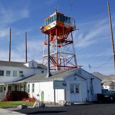
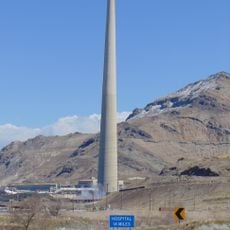
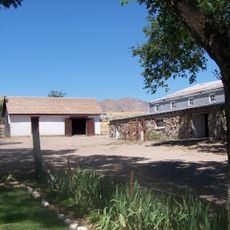
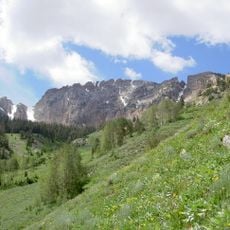
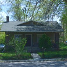
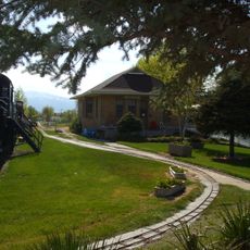
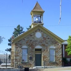
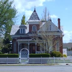
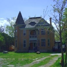
The area offers many ways to explore, from hiking in the mountains to visiting small towns with local history. Visitors should know this is a wide-spread area, so a car is needed to travel between different spots.
The county contains 924 square kilometers of water surfaces and maintains a population density of only 3.2 inhabitants per square kilometer.
The community of curious travelers
AroundUs brings together thousands of curated places, local tips, and hidden gems, enriched daily by 60,000 contributors worldwide.