Enable Location

We need your location to show you interesting places around you

Discover nearby places

Find interesting locations and hidden gems around you

Precise directions

Get accurate directions and distances to places

Your location is never shared with other users. It's only used when you tap the location button.

Danger Cave

Log in to your account

Start exploring — it's free

Trusted by 62,833 travelers worldwide

Continue with Google
Continue with Apple
or

We will send you a code to connect

By continuing, you accept our Terms and Conditions and our Privacy Policy

Check your inbox

We've sent a pincode in your inbox. Please enter the code below.

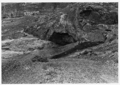
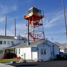
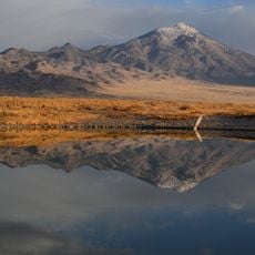
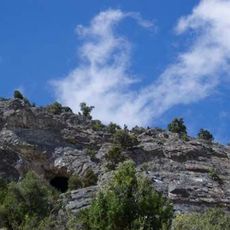
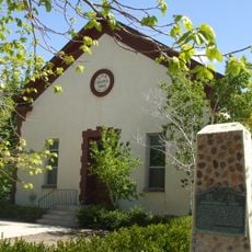
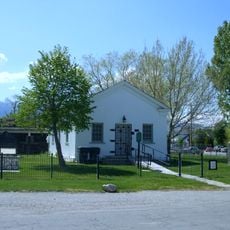
Danger Cave, Archaeological cave site near Wendover, Utah, US.

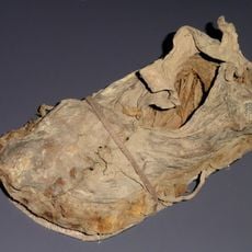
Danger Cave is an archaeological site near Wendover, Utah, containing preserved materials that span over 11,000 years of human settlement in the Great Basin. The collection includes stone tools, grinding implements, woven textiles, and organic remains that document daily life and survival practices.

Major excavations in the 1950s led by Jesse D. Jennings revealed continuous human habitation spanning thousands of years, fundamentally changing our understanding of prehistoric North American settlement patterns. The findings demonstrated that the region supported stable communities far earlier than scholars had previously believed.

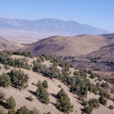
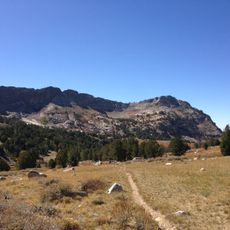
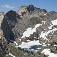
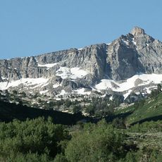
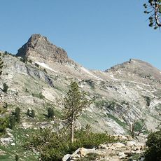
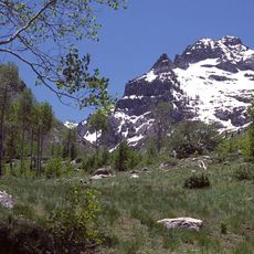
The site reveals how people adapted to life in the Great Basin over many centuries through hunting, gathering, and crafting tools from natural materials. These activities shaped how communities understood and used their landscape to survive.

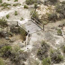
Access to the site is restricted and requires permits from the Utah Division of State History, as it is a protected archaeological property. Visitors interested in research or educational access should contact the appropriate authorities in advance to arrange permission.

The cave's exceptionally dry conditions preserved delicate organic materials like textiles that would normally decompose over time, offering rare insights into ancient craftsmanship and daily habits. This natural preservation allowed archaeologists to recover details about clothing, basketry, and food preparation that typically vanish from the archaeological record.

The community of curious travelers

AroundUs brings together thousands of curated places, local tips, and hidden gems, enriched daily by 60,000 contributors worldwide.

Start exploring
Location
GPS coordinates
40.75190,-114.01600
Latest update
December 9, 2025 18:40
Around this place
Bonneville Speedway
United States of America

Bonneville Speedway

10.2 km
Ruby Mountains
United States of America

Ruby Mountains

124 km
Metaphor: The Tree of Utah
United States of America

Metaphor: The Tree of Utah

39.2 km
Lucin Cutoff
United States of America

Lucin Cutoff

122.5 km
Wendover Air Force Base
United States of America

Wendover Air Force Base

3.9 km
Pilot Peak
United States of America

Pilot Peak

30.4 km
Fish Springs National Wildlife Refuge
United States of America

Fish Springs National Wildlife Refuge

113.6 km
Ruby Dome
United States of America

Ruby Dome

124 km
Deseret Peak
United States of America

Deseret Peak

121.9 km
Hogup Cave
United States of America

Hogup Cave

110.9 km
Cedar Mountain Wilderness
United States of America

Cedar Mountain Wilderness

91.8 km
Deseret Peak Wilderness
United States of America

Deseret Peak Wilderness

113 km
Ruby Mountains Wilderness
United States of America

Ruby Mountains Wilderness

118.4 km
Sun Tunnels
United States of America

Sun Tunnels

62.7 km
Ruby Crest National Recreation Trail
United States of America

Ruby Crest National Recreation Trail

119.5 km
Goshute Canyon Wilderness
United States of America

Goshute Canyon Wilderness

108.4 km
Lincoln Highway Bridge
United States of America

Lincoln Highway Bridge

112.2 km
Thomas N. Taylor House
United States of America

Thomas N. Taylor House

107.1 km
Verdi Peaks
United States of America

Verdi Peaks

113.9 km
Mount Fitzgerald
United States of America

Mount Fitzgerald

118.8 km
Snow Lake Peak
United States of America

Snow Lake Peak

117.7 km
Mount Gilbert
United States of America

Mount Gilbert

121.6 km
A. N. Tanner House
United States of America

A. N. Tanner House

106.4 km
Seitz Canyon
United States of America

Seitz Canyon

124.5 km
Right Fork Canyon
United States of America

Right Fork Canyon

120.6 km
Maverick Canyon
United States of America

Maverick Canyon

60.7 km
Grantsville First Ward Meetinghouse
United States of America

Grantsville First Ward Meetinghouse

131.3 km
Grantsville School and Meetinghouse
United States of America

Grantsville School and Meetinghouse

131.3 km
Show the full map
« Danger Cave - Archaeological cave site near Wendover, Utah, US » is provided by Around Us (aroundus.com). Images and texts are derived from Wikimedia project under a Creative Commons license. You are allowed to copy, distribute, and modify copies of this page, under the conditions set by the license, as long as this note is clearly visible.

Discover hidden gems everywhere you go!

From secret cafés to breathtaking viewpoints, skip the crowded tourist spots and find places that match your style. Our app makes it easy with voice search, smart filtering, route optimization, and insider tips from travelers worldwide. Download now for the complete mobile experience.

Around Us App Screenshot

A unique approach to discovering new places

Le Figaro

All the places worth exploring

France Info

A tailor-made excursion in just a few clicks

20 Minutes

Around Us
Travel Guide & Maps
Download

Send to your phone

QR Code
1

Open the camera app on your mobile.

2

Point at the QR code with your camera. A notification will appear.

3

Tap the notification to open the link.