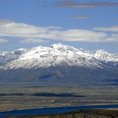
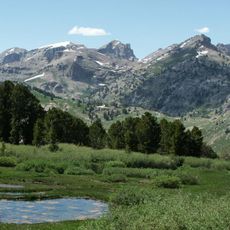
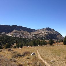
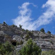
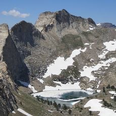
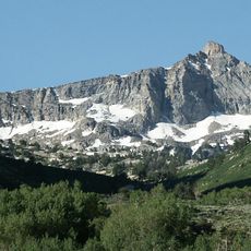
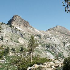
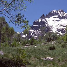
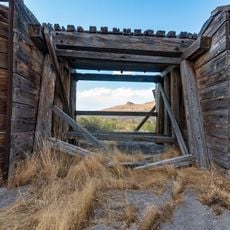
Pilot Peak, Summit and mountain in Elko County, US.
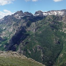
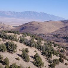
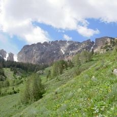
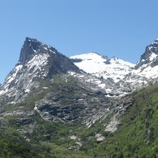
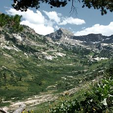
Pilot Peak is the highest mountain in the Pilot Range, in extreme eastern Elko County, Nevada, near the Utah border. It reaches 3,266 meters with a prominence of 1,745 meters, making it the fourth-most prominent peak in Nevada. The peak lies on public land managed by the Bureau of Land Management, about 20 kilometers northeast of Interstate 80.
Pilot Peak was named in 1845 for its use as an easily recognized landmark. John C. Fremont saw the peak from the east during his third expedition, mapping the Great Basin. He sent Kit Carson ahead to scout for water; Carson found a perennial spring east of the peak and lit a large bonfire whose smoke signaled that the crossing was possible. In 1846 the Donner Party used the peak as a landmark on the Hastings Cutoff and had to abandon wagons and oxen temporarily to reach the springs at its base.
The Shoshone name for the peak is Waahkai. Its English name, given in 1845, records the mountain's role as a landmark for emigrants crossing the Great Salt Lake Desert on the Hastings Cutoff. The Donner Party, short of water in 1846, left wagons and oxen behind to reach the springs at its base, later called Donner Springs.
Access is via Miners Canyon using a mix of paved and unpaved roads that require careful navigation. Visitors should be prepared for changing weather conditions and varying trail quality.
The mountain is home to single-leaf pinyon pine trees that exceed 900 years in age. These ancient specimens rank among the oldest living organisms in North America.
The community of curious travelers
AroundUs brings together thousands of curated places, local tips, and hidden gems, enriched daily by 93,458 contributors worldwide.