Enable Location

We need your location to show you interesting places around you

Discover nearby places

Find interesting locations and hidden gems around you

Precise directions

Get accurate directions and distances to places

Your location is never shared with other users. It's only used when you tap the location button.

Elko County

Log in to your account

Start exploring — it's free

Trusted by 62,835 travelers worldwide

Continue with Google
Continue with Apple
or

We will send you a code to connect

By continuing, you accept our Terms and Conditions and our Privacy Policy

Check your inbox

We've sent a pincode in your inbox. Please enter the code below.

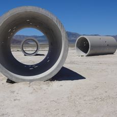
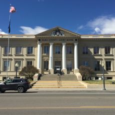
Elko County, Administrative county in northeastern Nevada, US

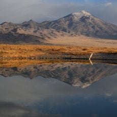
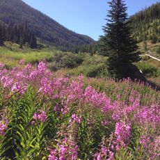
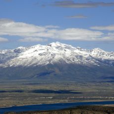
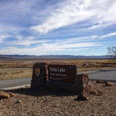
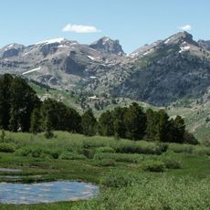
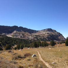
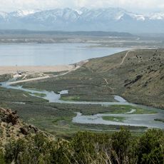
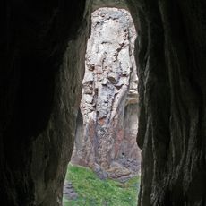
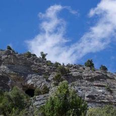
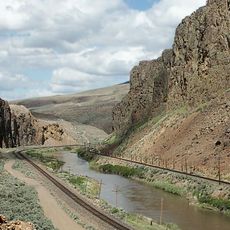
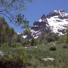
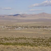
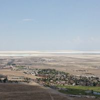
Elko County covers a large area in northeastern Nevada and encompasses the Ruby Mountains as well as multiple high desert regions. The landscape offers a mix of mountains and open plateaus.

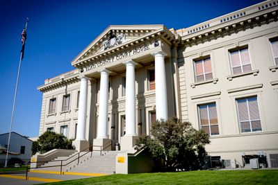
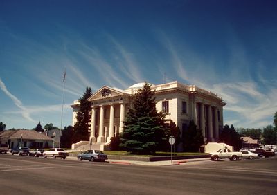
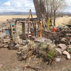
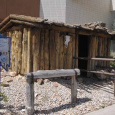
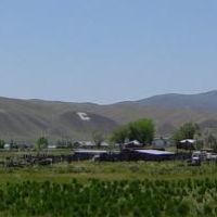
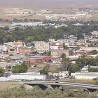
The county was established in 1869 as silver discoveries in the region drew settlers. This economic activity led to the development of towns and communities that remain today.

The National Cowboy Poetry Gathering draws performers and visitors each year to celebrate western traditions through verse and music. This event reflects the area's deep connection to ranching culture and frontier heritage.

Interstate 80 runs through the northern section and connects the region to other cities. Visitors should be prepared for remote roads, especially outside the main corridors.

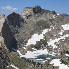
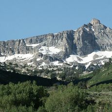
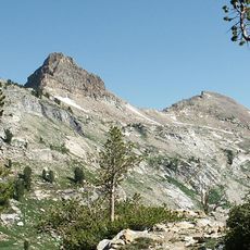
The region contains numerous mountain lakes and high peaks that make it a paradise for hikers and climbers. This alpine setting contrasts sharply with the flat desert landscape most people associate with Nevada.

The community of curious travelers

AroundUs brings together thousands of curated places, local tips, and hidden gems, enriched daily by 60,000 contributors worldwide.

Start exploring
Location
Inception
March 5, 1869
Capital city
Elko
Shares border with
Owyhee County, Eureka County, Lander County, White Pine County, Humboldt County, Twin Falls County, Cassia County, Box Elder County, Tooele County
GPS coordinates
41.13000,-115.35000
Latest update
December 17, 2025 09:33
Around this place
Bonneville Speedway
United States of America

Bonneville Speedway

128.9 km
Wendover Air Force Base
United States of America

Wendover Air Force Base

120 km
Pilot Peak
United States of America

Pilot Peak

107.4 km
Danger Cave
United States of America

Danger Cave

119.8 km
Jarbidge Wilderness
United States of America

Jarbidge Wilderness

70.3 km
Ruby Dome
United States of America

Ruby Dome

57.5 km
United States of America

Wild Horse Reservoir

71.4 km
Ruby Lake National Wildlife Refuge
United States of America

Ruby Lake National Wildlife Refuge

104 km
Fort Ruby
United States of America

Fort Ruby

119.2 km
Ruby Mountains Wilderness
United States of America

Ruby Mountains Wilderness

61 km
Sun Tunnels
United States of America

Sun Tunnels

125.9 km
Ruby Crest National Recreation Trail
United States of America

Ruby Crest National Recreation Trail

65 km
South Fork State Recreation Area
United States of America

South Fork State Recreation Area

62.3 km
Wild Horse State Recreation Area
United States of America

Wild Horse State Recreation Area

71 km
Bruneau – Jarbidge Rivers Wilderness
United States of America

Bruneau – Jarbidge Rivers Wilderness

142.8 km
Goshute Canyon Wilderness
United States of America

Goshute Canyon Wilderness

130 km
United States of America

East Humboldt Wilderness

28 km
United States of America

Mount Tenabo

149.9 km
United States of America

Becky Peak Wilderness

142.9 km
Verdi Peaks
United States of America

Verdi Peaks

54.1 km
United States of America

Carlin Canyon

69 km
Mount Fitzgerald
United States of America

Mount Fitzgerald

58.7 km
Palisade Canyon
United States of America

Palisade Canyon

102 km
Ruby Valley Pony Express Station
United States of America

Ruby Valley Pony Express Station

46.5 km
Elko County Courthouse
United States of America

Elko County Courthouse

47.8 km
Snow Lake Peak
United States of America

Snow Lake Peak

58.5 km
Mount Gilbert
United States of America

Mount Gilbert

56.9 km
United States of America

Willow Creek Reservoir

98.8 km
Show the full map
« Elko County - Administrative county in northeastern Nevada, US » is provided by Around Us (aroundus.com). Images and texts are derived from Wikimedia project under a Creative Commons license. You are allowed to copy, distribute, and modify copies of this page, under the conditions set by the license, as long as this note is clearly visible.

Discover hidden gems everywhere you go!

From secret cafés to breathtaking viewpoints, skip the crowded tourist spots and find places that match your style. Our app makes it easy with voice search, smart filtering, route optimization, and insider tips from travelers worldwide. Download now for the complete mobile experience.

Around Us App Screenshot

A unique approach to discovering new places

Le Figaro

All the places worth exploring

France Info

A tailor-made excursion in just a few clicks

20 Minutes

Around Us
Travel Guide & Maps
Download

Send to your phone

QR Code
1

Open the camera app on your mobile.

2

Point at the QR code with your camera. A notification will appear.

3

Tap the notification to open the link.