Chest opened
+${chestReward.xp} XP
Explorer
NOUVEAU ×${chestReward.collectible.quantity}
tapez pour fermer

See the monuments around you in AR Open chests in the app

Around Us is built for your phone — point your camera at the streets and discover the monuments and places around you in augmented reality. Around Us is built for your phone — chests unlock when you walk, explore and capture nearby places.

Enable Location

We need your location to show you interesting places around you

Discover nearby places

Find interesting locations and hidden gems around you

Precise directions

Get accurate directions and distances to places

Your location is never shared with other users. It's only used when you tap the location button.

Goshute Canyon Wilderness

Log in to your account

Start exploring — it's free

Trusted by 86,887 travelers worldwide

Continue with Google
Continue with Apple
or

We will send you a code to connect

By continuing, you accept our Terms and Conditions and our Privacy Policy

Check your inbox

We've sent a pincode in your inbox. Please enter the code below.

Goshute Canyon Wilderness
Discussion Reviews 1 Photos
1.9k Popularity

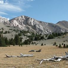
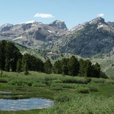
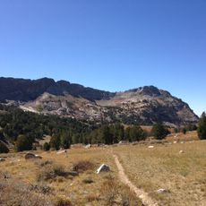
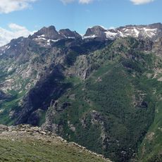
Goshute Canyon Wilderness, Protected wilderness area in Cherry Creek Mountains, Nevada.

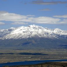
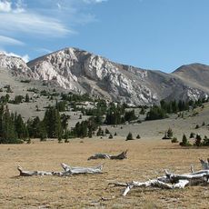
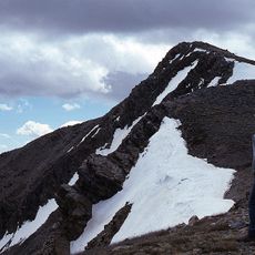
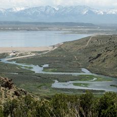
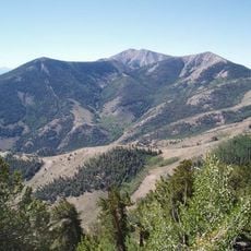
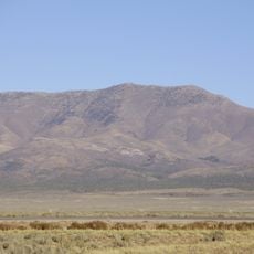
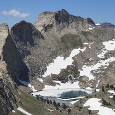
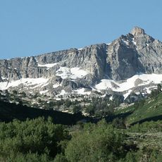
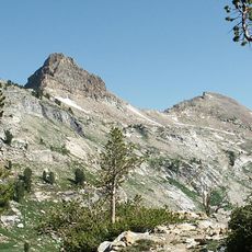
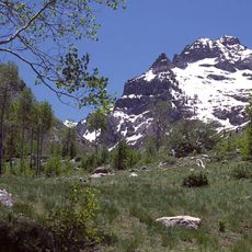
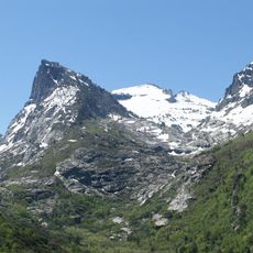
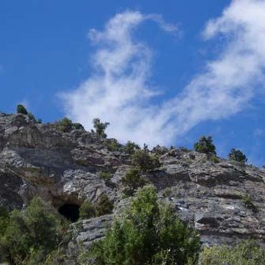
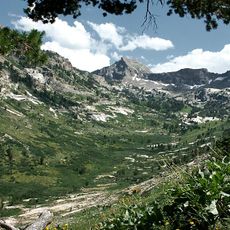
Goshute Canyon Wilderness is a protected area spanning 42,544 acres in the Cherry Creek Mountains, with limestone cliffs rising between 6,000 and 10,410 feet. The changing elevations create a range of different habitats supporting diverse wildlife and plant communities.

Goshute Canyon Wilderness received official protection status through the White Pine County Conservation, Recreation and Development Act on December 20, 2006. This designation came after decades of efforts to preserve the mountainous landscape as a protected wilderness area.

The area takes its name from the Goshute people, a Native American tribe who hunted and gathered across these mountains for generations. This heritage remains visible in how the landscape itself reflects those deep human connections.

This remote area has no facilities or marked trails, so visitors should bring water, navigation tools, and camping gear. Fall and spring offer the most pleasant conditions for exploring.

Beneath the surface lie numerous limestone caves formed by water erosion over thousands of years. This hidden underground network provides shelter for specialized animals and reveals unusual geological processes.

The community of curious travelers

AroundUs brings together thousands of curated places, local tips, and hidden gems, enriched daily by 60,000 contributors worldwide.
Start exploring
Location
GPS coordinates
40.02250,-114.86300
Latest update
September 12, 2026 02:49
Around this place
Ruby Mountains
United States of America

Ruby Mountains

46.8 mi
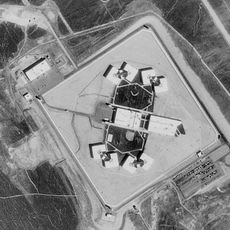
Ely State Prison
United States of America

Ely State Prison

44.2 mi
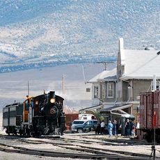
Nevada Northern Railway Museum
United States of America

Nevada Northern Railway Museum

52.8 mi
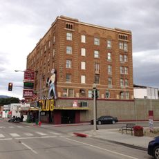
Hotel Nevada and Gambling Hall
United States of America

Hotel Nevada and Gambling Hall

53.6 mi
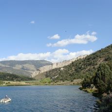
Cave Lake State Park
United States of America

Cave Lake State Park

58.1 mi
Ruby Dome
United States of America

Ruby Dome

52.5 mi
Ruby Lake National Wildlife Refuge
United States of America

Ruby Lake National Wildlife Refuge

35.6 mi
Mount Moriah
United States of America

Mount Moriah

62.7 mi
Fort Ruby
United States of America

Fort Ruby

35.4 mi
Mount Moriah Wilderness
United States of America

Mount Moriah Wilderness

63.1 mi
Ruby Mountains Wilderness
United States of America

Ruby Mountains Wilderness

48 mi
Ruby Crest National Recreation Trail
United States of America

Ruby Crest National Recreation Trail

46.3 mi
North Schell Peak
United States of America

North Schell Peak

44.4 mi
South Fork State Recreation Area
United States of America

South Fork State Recreation Area

64 mi
High Schells Wilderness
United States of America

High Schells Wilderness

49.3 mi
Diamond Peak
United States of America

Diamond Peak

59.1 mi
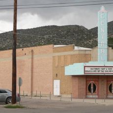
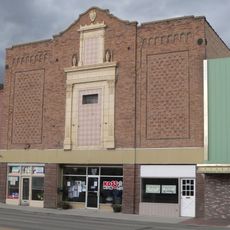
Central Theatre
United States of America

Central Theatre

53.4 mi
Verdi Peaks
United States of America

Verdi Peaks

50.3 mi
Mount Fitzgerald
United States of America

Mount Fitzgerald

49.6 mi
Snow Lake Peak
United States of America

Snow Lake Peak

49.2 mi
Ely L.D.S. Stake Tabernacle
United States of America

Ely L.D.S. Stake Tabernacle

53.5 mi
Capital Theatre
United States of America

Capital Theatre

53.6 mi
Mount Gilbert
United States of America

Mount Gilbert

51.8 mi
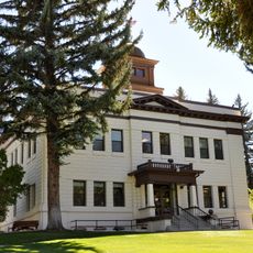
White Pine County Courthouse
United States of America

White Pine County Courthouse

53.6 mi
Seitz Canyon
United States of America

Seitz Canyon

55 mi
Right Fork Canyon
United States of America

Right Fork Canyon

52.1 mi
Nevada Northern Railway East Ely Yards and Shops
United States of America

Nevada Northern Railway East Ely Yards and Shops

52.7 mi
East Ely Depot
United States of America

East Ely Depot

52.8 mi
Show the full map
Reviews
Share your experience

No review yet

Discussions
Start a discussion...

No discussion yet

« Goshute Canyon Wilderness - Protected wilderness area in Cherry Creek Mountains, Nevada » is provided by Around Us (aroundus.com). Images and texts are derived from Wikimedia project under a Creative Commons license. You are allowed to copy, distribute, and modify copies of this page, under the conditions set by the license, as long as this note is clearly visible.

Discover hidden gems everywhere you go!

From secret cafés to breathtaking viewpoints, skip the crowded tourist spots and find places that match your style. Our app makes it easy with voice search, smart filtering, route optimization, and insider tips from travelers worldwide. Download now for the complete mobile experience.
Around Us App Screenshot

A unique approach to discovering new places

Le Figaro

All the places worth exploring

France Info

A tailor-made excursion in just a few clicks

20 Minutes

Around Us
Travel Guide & Maps
Download

Send to your phone

QR Code
1

Open the camera app on your mobile.

2

Point at the QR code with your camera. A notification will appear.

3

Tap the notification to open the link.