Mount Moriah Wilderness, Wilderness area in White Pine County, Nevada, United States.
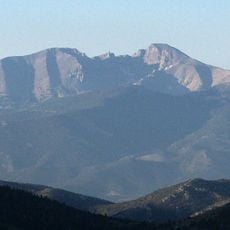
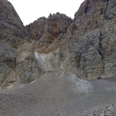
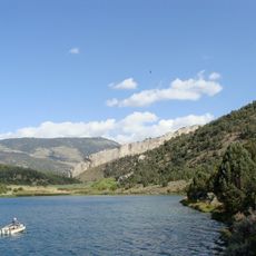
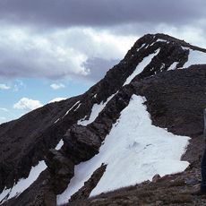
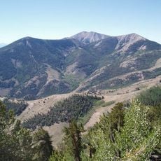
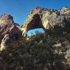
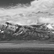
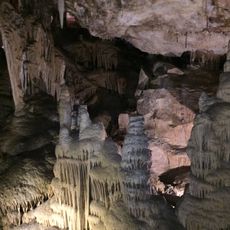
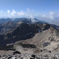
Mount Moriah Wilderness is a protected area in the Nevada high desert with limestone rock formations, hidden caves, and ridges rising above 12,000 feet (3,660 meters). The terrain shifts between steep slopes and gentler valleys where several streams flow year-round.
The Mount Moriah Wilderness was designated by Congress in 1989. It is administered jointly by the Humboldt-Toiyabe National Forest and the U.S. Bureau of Land Management, since about 8,700 acres (3,500 ha) in the northern portion lie on BLM land.
Ancient caves and rock art scattered throughout the land tell stories of people who lived here long ago. These marks on stone reveal how communities once moved through and used this high country.
The terrain is demanding and requires good physical fitness, especially at higher elevations. Arriving early and carrying plenty of water are essential since daylight moves fast in these mountains and water sources can be widely spaced.
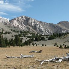
The Table is a plateau at about 11,000 feet (3,400 m) that stretches north and west of Mount Moriah. Its flat surface contrasts with the surrounding peaks of the Snake Range. The name comes from this table-like shape, unusual in such mountainous terrain.
The community of curious travelers
AroundUs brings together thousands of curated places, local tips, and hidden gems, enriched daily by 94,472 contributors worldwide.