Chest opened
+${chestReward.xp} XP
Explorer
NOUVEAU ×${chestReward.collectible.quantity}
tapez pour fermer

See the monuments around you in AR Open chests in the app

Around Us is built for your phone — point your camera at the streets and discover the monuments and places around you in augmented reality. Around Us is built for your phone — chests unlock when you walk, explore and capture nearby places.

Enable Location

We need your location to show you interesting places around you

Discover nearby places

Find interesting locations and hidden gems around you

Precise directions

Get accurate directions and distances to places

Your location is never shared with other users. It's only used when you tap the location button.

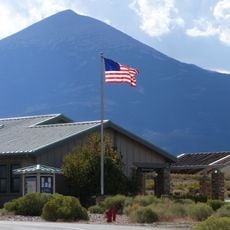
Baker Ranger Station

Log in to your account

Start exploring — it's free

Trusted by 86,854 travelers worldwide

Continue with Google
Continue with Apple
or

We will send you a code to connect

By continuing, you accept our Terms and Conditions and our Privacy Policy

Check your inbox

We've sent a pincode in your inbox. Please enter the code below.

Discussion Reviews 1 Photos
1.2k Popularity

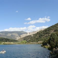
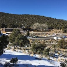
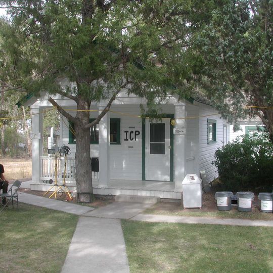
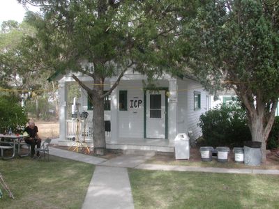
Baker Ranger Station, Forest ranger station in Baker, United States.

Baker Ranger Station is a forest service facility in Baker that houses administrative offices and equipment for managing the surrounding woodlands. The building serves as the central base for monitoring and maintaining the forests and natural areas nearby.

The station was built in the 1930s by the Forest Service and Civilian Conservation Corps as part of Depression-era job programs. This project reflected a broader effort to create federal employment and protect forests across the country.

The station represents early 20th-century forestry practices and land management techniques that shaped conservation efforts in the American West.

Visitors can obtain permits, maps, and information about recreational activities in the surrounding forests during business hours. Staff members can answer questions about hiking trails, camping areas, and other outdoor pursuits.

The building was constructed using local materials and building techniques that matched Forest Service standards of that era. This construction approach made it a representative example of federal architecture in rural forest areas.

The community of curious travelers

AroundUs brings together thousands of curated places, local tips, and hidden gems, enriched daily by 60,000 contributors worldwide.
Start exploring
Location
Architects
United States Forest Service, Civilian Conservation Corps
GPS coordinates
39.01472,-114.12306
Latest update
September 12, 2026 02:48
Around this place
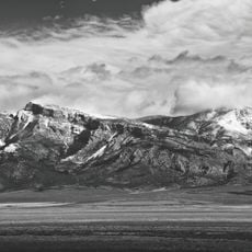
Wheeler Peak
United States of America

Wheeler Peak

10.5 mi
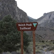
Notch Peak
United States of America

Notch Peak

39.3 mi
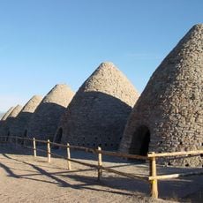
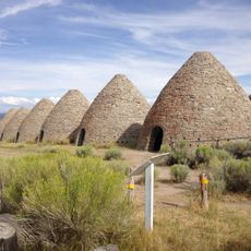
Ward Charcoal Ovens State Historic Park
United States of America

Ward Charcoal Ovens State Historic Park

39 mi
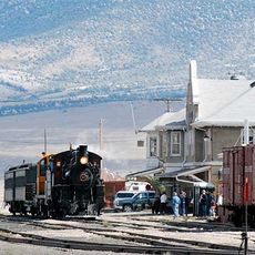
Nevada Northern Railway Museum
United States of America

Nevada Northern Railway Museum

43.5 mi
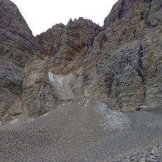
Wheeler Peak Glacier
United States of America

Wheeler Peak Glacier

10.5 mi
Cave Lake State Park
United States of America

Cave Lake State Park

34.4 mi
Mount Moriah
United States of America

Mount Moriah

18.3 mi
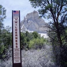
Mount Moriah Wilderness
United States of America

Mount Moriah Wilderness

17.9 mi
North Schell Peak
United States of America

North Schell Peak

37.6 mi
High Schells Wilderness
United States of America

High Schells Wilderness

34 mi
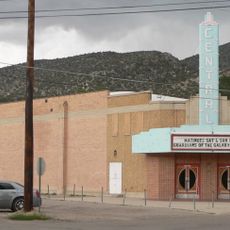
Central Theatre
United States of America

Central Theatre

43.9 mi
Fortification Range Wilderness
United States of America

Fortification Range Wilderness

36.2 mi
Johnson Lake Mine Historic District
United States of America

Johnson Lake Mine Historic District

10.5 mi
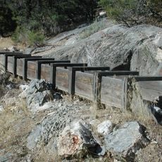
Lehman Orchard and Aqueduct
United States of America

Lehman Orchard and Aqueduct

5.2 mi
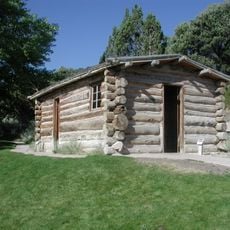
Rhodes Cabin
United States of America

Rhodes Cabin

5.2 mi
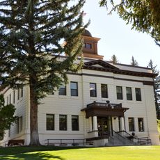
White Pine County Courthouse
United States of America

White Pine County Courthouse

44.1 mi
Kings Canyon
United States of America

Kings Canyon

30.6 mi
United States of America

Bahsahwahbee

19.6 mi
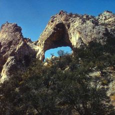
Lexington Arch
United States of America

Lexington Arch

12.7 mi
Pyramid Peak
United States of America

Pyramid Peak

10.3 mi
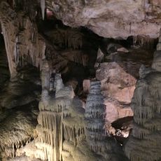
Lehman Caves
United States of America

Lehman Caves

5.2 mi
Ibex Crags
United States of America

Ibex Crags

37.8 mi
Baker Peak
United States of America

Baker Peak

10.9 mi
Nevada Northern Railway East Ely Yards and Shops
United States of America

Nevada Northern Railway East Ely Yards and Shops

43.4 mi
East Ely Depot
United States of America

East Ely Depot

43.4 mi
Lehman Caves Visitor Center
United States of America

Lehman Caves Visitor Center

5.2 mi
Ward Charcoal Ovens
United States of America

Ward Charcoal Ovens

39 mi
Great Basin Visitor Center
United States of America

Great Basin Visitor Center

0.2 mi
Show the full map
Reviews
Share your experience

No review yet

Discussions
Start a discussion...

No discussion yet

« Baker Ranger Station - Forest ranger station in Baker, United States » is provided by Around Us (aroundus.com). Images and texts are derived from Wikimedia project under a Creative Commons license. You are allowed to copy, distribute, and modify copies of this page, under the conditions set by the license, as long as this note is clearly visible.

Discover hidden gems everywhere you go!

From secret cafés to breathtaking viewpoints, skip the crowded tourist spots and find places that match your style. Our app makes it easy with voice search, smart filtering, route optimization, and insider tips from travelers worldwide. Download now for the complete mobile experience.
Around Us App Screenshot

A unique approach to discovering new places

Le Figaro

All the places worth exploring

France Info

A tailor-made excursion in just a few clicks

20 Minutes

Around Us
Travel Guide & Maps
Download

Send to your phone

QR Code
1

Open the camera app on your mobile.

2

Point at the QR code with your camera. A notification will appear.

3

Tap the notification to open the link.