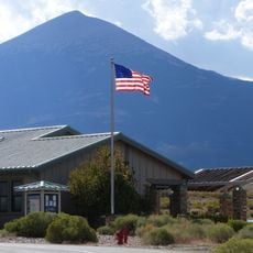
Mount Moriah, Mountain summit in White Pine County, Nevada
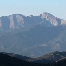
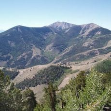
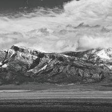
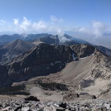
Mount Moriah is a 12,072-foot summit in the northern Snake Range of eastern White Pine County, Nevada, and the highest point in the Humboldt-Toiyabe National Forest. It rises over 6,000 vertical feet above the Snake Valley to the east and the Spring Valley to the west. The mountain lies about 37 miles east of Ely, with Sacramento Pass and U.S. Routes 6 and 50 nearby.
Mount Moriah lies within the Mount Moriah Wilderness, administered by the Humboldt-Toiyabe National Forest; its summit is the highest point in that forest. The Wilderness Act of 1964 gave the area its wilderness designation, and the surrounding national forest lands are managed by the U.S. Forest Service. The mountain rises about 37 miles east of Ely, near Sacramento Pass, which separates the northern and southern Snake Range.
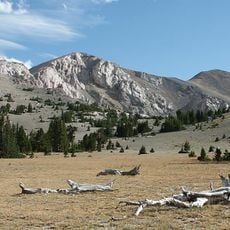
The Table, the flat sub-alpine shelf just north of the summit, holds a stand of Great Basin Bristlecone Pine. The mountain lies in the Mount Moriah Wilderness, managed by the Humboldt-Toiyabe National Forest, and the surrounding Snake Valley and Spring Valley are open rangeland. The nearest town is Ely, about 37 miles west.
The mountain lies about 37 miles east of Ely, the nearest town, with U.S. Routes 6 and 50 crossing Sacramento Pass nearby; that pass separates the northern and southern Snake Range, and Great Basin National Park and Wheeler Peak sit south of it. The peak stands inside the Mount Moriah Wilderness, managed by Humboldt-Toiyabe National Forest.
Just north of the summit lies The Table, a flat sub-alpine area that supports an ancient stand of Great Basin Bristlecone Pine (Pinus longaeva). The trees grow at the edge of the mountain's high country, within the Mount Moriah Wilderness of the Humboldt-Toiyabe National Forest.
The community of curious travelers
AroundUs brings together thousands of curated places, local tips, and hidden gems, enriched daily by 93,845 contributors worldwide.