Enable Location

We need your location to show you interesting places around you

Discover nearby places

Find interesting locations and hidden gems around you

Precise directions

Get accurate directions and distances to places

Your location is never shared with other users. It's only used when you tap the location button.

White Pine County

Log in to your account

Start exploring — it's free

Trusted by travelers worldwide

Continue with Google
Continue with Apple
or

We will send you a code to connect

By continuing, you accept our Terms and Conditions and our Privacy Policy

Check your inbox

We've sent a pincode in your inbox. Please enter the code below.

White Pine County, Administrative division in eastern Nevada, United States

Description

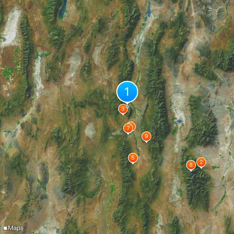
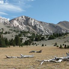
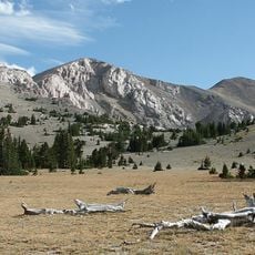
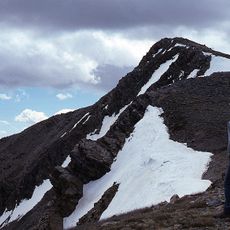
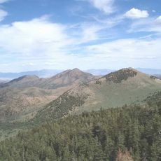
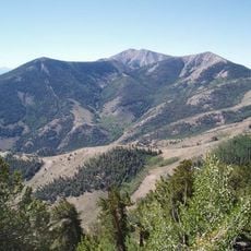
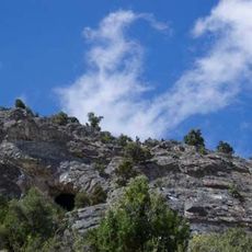
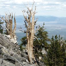
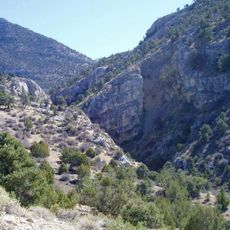
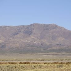
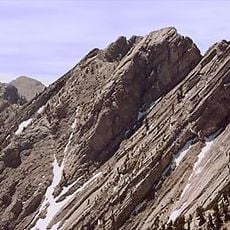
White Pine County is an administrative division in eastern Nevada that encompasses mountain ranges, valleys, and desert landscapes. The region spans roughly 23,000 square kilometers with elevations ranging from about 5,000 to 13,000 feet (1,500–4,000 meters) across its varied terrain.

History

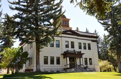
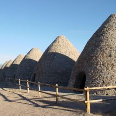
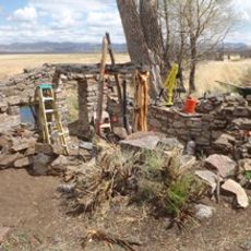
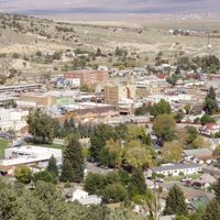
The county was established in 1869 during Nevada's mining boom, when operations along the Pony Express Trail grew rapidly. Hamilton served as the original county seat before the administrative center moved to another location in 1887.

Culture

The Ely Shoshone Indian Reservation sits at the southern edge of Ely and remains a center for Native American traditions and gatherings. Visitors can observe how local indigenous communities maintain their heritage in daily practice.

Practical

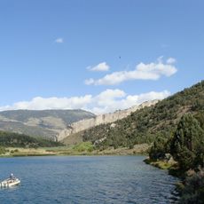
The region is accessible via major routes including U.S. Highways 6, 50, and 93, which connect through the county's main communities. Visitors can enjoy outdoor activities like hiking, camping, and exploring natural areas throughout the year.

Did you know?

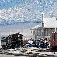
The Nevada Northern Railway Museum in Ely preserves working steam locomotives and railway equipment from the early 1900s that visitors can ride on select days. The collection represents an intact snapshot of how rail transport operated during that era.

Location
Inception
1869
Capital city
Ely
Shares border with
Elko County, Lincoln County, Nye County, Eureka County, Tooele County, Juab County, Millard County
GPS coordinates
39.44000,-114.90000
Latest update
December 20, 2025 15:26

AroundUs brings together thousands of curated places, local tips, and hidden gems, enriched daily by 60,000 contributors worldwide. Discover all places nearby (Nevada).

Around this place
Great Basin National Park
United States of America

Great Basin National Park

76 km
Ely State Prison
United States of America

Ely State Prison

6.9 km
Wheeler Peak
United States of America

Wheeler Peak

71.5 km
Ward Charcoal Ovens State Historic Park
United States of America

Ward Charcoal Ovens State Historic Park

45.1 km
Nevada Northern Railway Museum
United States of America

Nevada Northern Railway Museum

20.3 km
Hotel Nevada and Gambling Hall
United States of America

Hotel Nevada and Gambling Hall

21.4 km
Wheeler Peak Glacier
United States of America

Wheeler Peak Glacier

71.5 km
Cave Lake State Park
United States of America

Cave Lake State Park

31.8 km
Mount Moriah
United States of America

Mount Moriah

63.1 km
Fort Ruby
United States of America

Fort Ruby

88.2 km
Mount Moriah Wilderness
United States of America

Mount Moriah Wilderness

63.3 km
North Schell Peak
United States of America

North Schell Peak

26 km
Red Mountain Wilderness
United States of America

Red Mountain Wilderness

69.8 km
High Schells Wilderness
United States of America

High Schells Wilderness

28.2 km
United States of America

Bristlecone Wilderness

4.7 km
United States of America

Highland Ridge Wilderness

93.4 km
United States of America

Bald Mountain Wilderness

54.3 km
Goshute Canyon Wilderness
United States of America

Goshute Canyon Wilderness

64.9 km
Currant Mountain Wilderness
United States of America

Currant Mountain Wilderness

74.1 km
United States of America

Mount Grafton Wilderness

83.6 km
South Egan Range Wilderness
United States of America

South Egan Range Wilderness

84.3 km
United States of America

Becky Peak Wilderness

66.4 km
United States of America

Shellback Wilderness

42.4 km
United States of America

White Pine Range Wilderness

64.3 km
Diamond Peak
United States of America

Diamond Peak

80.5 km
United States of America

Government Peak Wilderness

63.3 km
Central Theatre
United States of America

Central Theatre

21.1 km
Currant Mountain
United States of America

Currant Mountain

74.4 km
Show the full map
Administrative divisions
« White Pine County - Administrative division in eastern Nevada, United States » is provided by Around Us (aroundus.com). Images and texts are derived from Wikimedia project under a Creative Commons license. You are allowed to copy, distribute, and modify copies of this page, under the conditions set by the license, as long as this note is clearly visible.

Discover hidden gems everywhere you go!

From secret cafés to breathtaking viewpoints, skip the crowded tourist spots and find places that match your style. Our app makes it easy with voice search, smart filtering, route optimization, and insider tips from travelers worldwide. Download now for the complete mobile experience.

Around Us App Screenshot

A unique approach to discovering new places

Le Figaro

All the places worth exploring

France Info

A tailor-made excursion in just a few clicks

20 Minutes

Around Us
Travel Guide & Maps
Download

Send to your phone

QR Code
1

Open the camera app on your mobile.

2

Point at the QR code with your camera. A notification will appear.

3

Tap the notification to open the link.