Currant Mountain, Mountain summit in White Pine County, Nevada, United States.
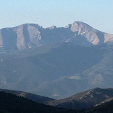
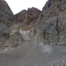
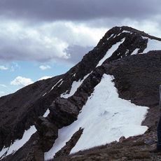
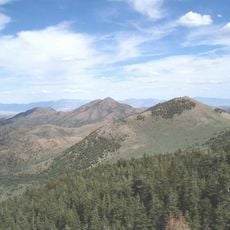
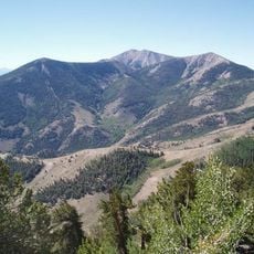
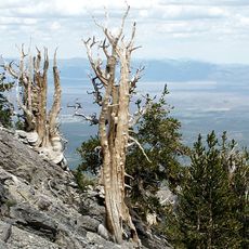
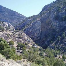
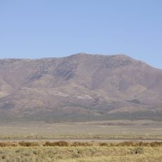
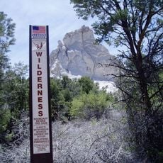
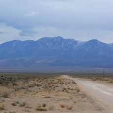
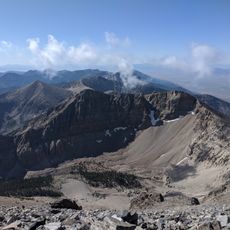
Currant Mountain is the highest peak of the White Pine Range in White Pine County, Nevada. Its summit is a thin limestone ridge carrying three spires; the southern spire is the highest at 11,518 feet (3,511 m). The mountain rises about 37 miles (60 km) southwest of Ely, near the Nye County line, inside the Currant Mountain Wilderness of Humboldt-Toiyabe National Forest.
The sources record no currant-berry etymology for the name. Currant Mountain lies in the White Pine Range, and the summit ridge is formed of limestone. The peak stands within the Currant Mountain Wilderness of the Humboldt-Toiyabe National Forest, near the Nye County line.
The mountain lies within the Currant Mountain Wilderness of Humboldt-Toiyabe National Forest, and Duckwater Shoshone tribal lands begin to the west, around Railroad Valley. The 11,518-foot summit ridge marks the boundary between the White River Valley drainage to the east and the Duckwater side to the west.
The southern ridge approach to the summit is steep and demands solid navigation skills and mountain gear. Visitors should come prepared for harsh weather and exposed terrain.
The summit's three limestone spires are counted as separate high points, and the southern one is the tallest at 11,518 feet (3,511 m). The peak ranks twenty-first in elevation among Nevada mountains and sixteenth in topographic prominence in the state.
The community of curious travelers
AroundUs brings together thousands of curated places, local tips, and hidden gems, enriched daily by 93,603 contributors worldwide.